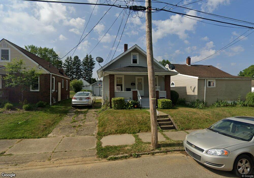
2214 21st St NE Canton, OH 44705
Fairmount NeighborhoodEstimated Value: $48,000 - $75,000
2
Beds
1
Bath
672
Sq Ft
$90/Sq Ft
Est. Value
About This Home
This home is located at 2214 21st St NE, Canton, OH 44705 and is currently estimated at $60,395, approximately $89 per square foot. 2214 21st St NE is a home located in Stark County with nearby schools including Belle Stone Elementary School, Early Learning Center @ Schreiber, and Youtz Intermediate School.
Ownership History
Date
Name
Owned For
Owner Type
Purchase Details
Closed on
Sep 24, 2014
Sold by
Day Lindell L
Bought by
L Day Properties Llc
Current Estimated Value
Purchase Details
Closed on
Aug 28, 2013
Sold by
Franklin Place Ltd
Bought by
Day Lindell L
Purchase Details
Closed on
Jun 6, 2005
Sold by
The Home Sla Co Of Youngstown Ohio
Bought by
Franklin Place Ltd
Purchase Details
Closed on
Sep 15, 2004
Sold by
Lytle Lennie L
Bought by
The Home Sla Co Of Youngstown Ohio
Purchase Details
Closed on
Nov 9, 1994
Sold by
Property Investment Grou
Bought by
Lytle Lennie L
Home Financials for this Owner
Home Financials are based on the most recent Mortgage that was taken out on this home.
Original Mortgage
$26,600
Interest Rate
8.86%
Mortgage Type
New Conventional
Purchase Details
Closed on
Oct 18, 1993
Create a Home Valuation Report for This Property
The Home Valuation Report is an in-depth analysis detailing your home's value as well as a comparison with similar homes in the area
Home Values in the Area
Average Home Value in this Area
Purchase History
| Date | Buyer | Sale Price | Title Company |
|---|---|---|---|
| L Day Properties Llc | -- | None Available | |
| Day Lindell L | -- | None Available | |
| Franklin Place Ltd | $23,000 | -- | |
| The Home Sla Co Of Youngstown Ohio | $26,000 | -- | |
| Lytle Lennie L | $28,000 | -- | |
| -- | $14,000 | -- |
Source: Public Records
Mortgage History
| Date | Status | Borrower | Loan Amount |
|---|---|---|---|
| Previous Owner | Lytle Lennie L | $26,600 |
Source: Public Records
Tax History Compared to Growth
Tax History
| Year | Tax Paid | Tax Assessment Tax Assessment Total Assessment is a certain percentage of the fair market value that is determined by local assessors to be the total taxable value of land and additions on the property. | Land | Improvement |
|---|---|---|---|---|
| 2025 | -- | $14,920 | $2,770 | $12,150 |
| 2024 | -- | $14,920 | $2,770 | $12,150 |
| 2023 | $640 | $10,470 | $2,030 | $8,440 |
| 2022 | $625 | $10,470 | $2,030 | $8,440 |
| 2021 | $632 | $10,470 | $2,030 | $8,440 |
| 2020 | $576 | $8,540 | $1,680 | $6,860 |
| 2019 | $505 | $8,550 | $1,680 | $6,870 |
| 2018 | $509 | $8,550 | $1,680 | $6,870 |
| 2017 | $540 | $8,270 | $1,820 | $6,450 |
| 2016 | $542 | $8,270 | $1,820 | $6,450 |
| 2015 | $545 | $8,270 | $1,820 | $6,450 |
| 2014 | $602 | $8,580 | $1,930 | $6,650 |
| 2013 | $291 | $8,580 | $1,930 | $6,650 |
Source: Public Records
Map
Nearby Homes
- 2322 21st St NE
- 1742 Taft Ave NE
- 2211 17th St NE
- 2216 17th St NE
- 2005 17th St NE
- 0 Dover Ave NE
- 2100 Maple Ave NE
- 2310 Maple Ave NE
- 2102 16th St NE
- 2315 Maple Ave NE
- 2526 17th St NE
- 1607 20th St NE
- 1815 Virginia Place NE
- 1607 18th St NE
- 1602 18th St NE
- 2611 Indiana Way NE
- 2329 Winfield Way NE
- 1630 Bonnot Place NE
- 1513 22nd St NE
- 2028 Saint Elmo Ave NE
- 2218 21st St NE
- 2212 21st St NE
- 2204 21st St NE
- 2201 20th St NE
- 2127 20th St NE
- 2230 21st St NE
- 2125 20th St NE
- 2125 20th St NE
- 2205 20th St NE
- 2200 21st St NE
- 2219 21st St NE
- 2213 21st St NE
- 2223 21st St NE
- 2211 20th St NE
- 2004 Roosevelt Ave NE
- 2203 21st St NE
- 2231 21st St NE
- 2244 21st St NE
- 2244 21st St NE
- 2236 21st St NE