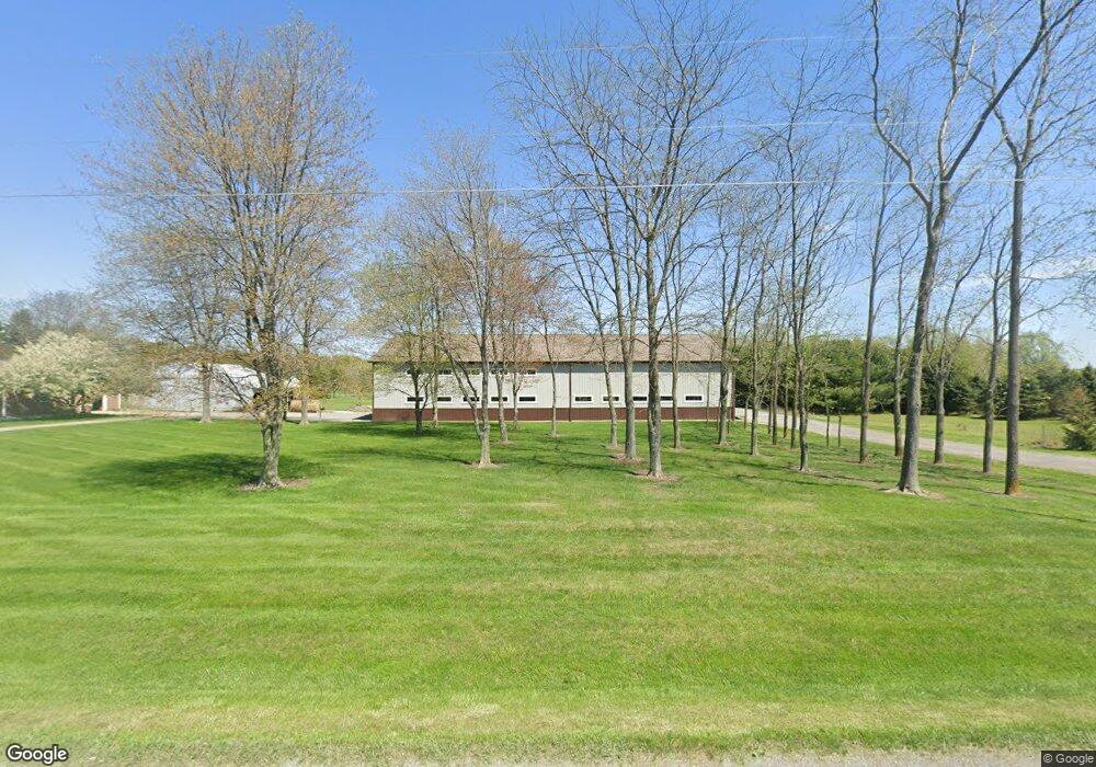
Estimated Value: $223,000 - $369,121
3
Beds
1
Bath
1,188
Sq Ft
$273/Sq Ft
Est. Value
About This Home
This home is located at 2214 Dobie Rd, Mason, MI 48854 and is currently estimated at $324,280, approximately $272 per square foot. 2214 Dobie Rd is a home with nearby schools including Mason High School.
Ownership History
Date
Name
Owned For
Owner Type
Purchase Details
Closed on
Jan 30, 2017
Sold by
Hastings David D and Hastings Sarah J
Bought by
Hastings Carolyn L and Hastings David D
Current Estimated Value
Home Financials for this Owner
Home Financials are based on the most recent Mortgage that was taken out on this home.
Original Mortgage
$162,000
Outstanding Balance
$108,920
Interest Rate
4.3%
Mortgage Type
Future Advance Clause Open End Mortgage
Estimated Equity
$215,360
Purchase Details
Closed on
Apr 28, 1999
Sold by
Algate Fredric and Algate Trella
Bought by
Hastings David D and Hastings Sarah J
Create a Home Valuation Report for This Property
The Home Valuation Report is an in-depth analysis detailing your home's value as well as a comparison with similar homes in the area
Home Values in the Area
Average Home Value in this Area
Purchase History
| Date | Buyer | Sale Price | Title Company |
|---|---|---|---|
| Hastings Carolyn L | $200,000 | None Available | |
| Hastings David D | $58,000 | -- |
Source: Public Records
Mortgage History
| Date | Status | Borrower | Loan Amount |
|---|---|---|---|
| Open | Hastings Carolyn L | $162,000 |
Source: Public Records
Tax History Compared to Growth
Tax History
| Year | Tax Paid | Tax Assessment Tax Assessment Total Assessment is a certain percentage of the fair market value that is determined by local assessors to be the total taxable value of land and additions on the property. | Land | Improvement |
|---|---|---|---|---|
| 2025 | $4,424 | $168,500 | $60,500 | $108,000 |
| 2024 | $25 | $177,700 | $61,500 | $116,200 |
| 2023 | $4,122 | $171,700 | $65,500 | $106,200 |
| 2022 | $3,892 | $158,200 | $64,800 | $93,400 |
| 2021 | $3,800 | $153,800 | $64,900 | $88,900 |
| 2020 | $3,683 | $152,300 | $64,900 | $87,400 |
| 2019 | $3,596 | $120,400 | $51,900 | $68,500 |
| 2018 | $3,563 | $94,800 | $54,200 | $40,600 |
| 2017 | $2,212 | $94,800 | $54,200 | $40,600 |
| 2016 | -- | $92,200 | $51,400 | $40,800 |
| 2015 | -- | $92,000 | $0 | $0 |
| 2014 | -- | $77,900 | $0 | $0 |
Source: Public Records
Map
Nearby Homes
- 1234 Lamb Rd
- 2004 Timberview Dr
- 1572 Wenonah Dr
- 3588 Autumnwood Ln
- 3624 W Arbutus Dr
- 3660 Powderhorn Dr
- 2073 Birch Bluff Dr
- 2083 Fox Hollow Dr
- 2024 Belwood Dr
- 3740 Cavalier Dr Unit 2
- 3826 Pine Knoll Dr
- 1136 Bonanza Dr
- 12 Atrium Dr
- 3720 Crane Cir
- 3729 Crane Cir
- 2740 Lupine Dr
- 3732 Crane Cir
- 3921 Dobie Rd
- 3738 Crane Cir
- 3735 Crane Cir
