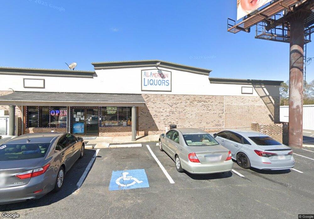
2214 Watson Blvd Warner Robins, GA 31093
--
Bed
--
Bath
4,000
Sq Ft
--
Built
About This Home
This home is located at 2214 Watson Blvd, Warner Robins, GA 31093. 2214 Watson Blvd is a home located in Houston County with nearby schools including Westside Elementary School, Northside Middle School, and Northside High School.
Ownership History
Date
Name
Owned For
Owner Type
Purchase Details
Closed on
Jan 15, 2020
Sold by
Diya & Brother Llc
Bought by
Indo Usa Llc
Home Financials for this Owner
Home Financials are based on the most recent Mortgage that was taken out on this home.
Original Mortgage
$734,000
Outstanding Balance
$648,518
Interest Rate
3.6%
Mortgage Type
Purchase Money Mortgage
Purchase Details
Closed on
Jan 23, 2015
Sold by
Khodal Krupa Inc
Bought by
Diya & Brother Llc
Home Financials for this Owner
Home Financials are based on the most recent Mortgage that was taken out on this home.
Original Mortgage
$750,000
Interest Rate
3.9%
Mortgage Type
Commercial
Purchase Details
Closed on
Oct 6, 2009
Sold by
Bennetts Liquors Inc
Bought by
The Citizens Bank & Trust Company
Purchase Details
Closed on
Jul 1, 1981
Sold by
Bennett Mary L
Bought by
Bennetts Liquor Inc
Purchase Details
Closed on
Nov 27, 1979
Sold by
Bennett James
Bought by
Bennett Mary L
Create a Home Valuation Report for This Property
The Home Valuation Report is an in-depth analysis detailing your home's value as well as a comparison with similar homes in the area
Home Values in the Area
Average Home Value in this Area
Purchase History
| Date | Buyer | Sale Price | Title Company |
|---|---|---|---|
| Indo Usa Llc | -- | None Available | |
| Diya & Brother Llc | -- | -- | |
| The Citizens Bank & Trust Company | $264,883 | None Available | |
| Bennetts Liquor Inc | $44,200 | -- | |
| Bennett Mary L | -- | -- |
Source: Public Records
Mortgage History
| Date | Status | Borrower | Loan Amount |
|---|---|---|---|
| Open | Indo Usa Llc | $734,000 | |
| Previous Owner | Diya & Brother Llc | $750,000 |
Source: Public Records
Tax History Compared to Growth
Tax History
| Year | Tax Paid | Tax Assessment Tax Assessment Total Assessment is a certain percentage of the fair market value that is determined by local assessors to be the total taxable value of land and additions on the property. | Land | Improvement |
|---|---|---|---|---|
| 2024 | $3,342 | $102,120 | $37,680 | $64,440 |
| 2023 | $3,367 | $102,120 | $37,680 | $64,440 |
| 2022 | $2,348 | $102,120 | $37,680 | $64,440 |
| 2021 | $2,361 | $102,120 | $37,680 | $64,440 |
| 2020 | $2,372 | $102,120 | $37,680 | $64,440 |
| 2019 | $2,372 | $102,120 | $37,680 | $64,440 |
| 2018 | $2,372 | $102,120 | $37,680 | $64,440 |
| 2017 | $2,375 | $102,120 | $37,680 | $64,440 |
| 2016 | $2,378 | $102,120 | $37,680 | $64,440 |
| 2015 | -- | $102,120 | $37,680 | $64,440 |
| 2014 | -- | $102,120 | $37,680 | $64,440 |
| 2013 | -- | $102,120 | $37,680 | $64,440 |
Source: Public Records
Map
Nearby Homes
- 209 Knodishall Dr
- 129 Maryjay Dr
- 301 Millside Dr
- 112 Peacock Dr
- 106 Westcliff Cir
- 110 Westcliff Cir Unit C
- 103 Westcliff Cir Unit A
- 103 Westcliff Cir Unit A
- 141 Peacock Dr
- 501 Pinecrest Dr
- 86 Westcliff Cir
- 111 Hawthorne Rd
- 102 Westcliff Center St Unit D
- 110 Westcliff Center St
- 221 Gilchrist Dr
- 725 B East Side Dr
- 705 Corder Rd
- 318 Somerset Dr
- 102 Williams St
- 303 Pinecrest Dr
- 2212 Watson Blvd
- 2218 Watson Blvd
- 200 Knodishall Dr
- 102 Carter Cir
- 202 Knodishall Dr
- 105 Mauk Cir
- 201 Knodishall Dr
- 104 Carter Cir
- 203 Knodishall Dr
- 106 Carter Cir
- 205 Knodishall Dr
- 108 Carter Cir
- 2220 Watson Blvd
- 206 Knodishall Dr
- 116 Carter Cir
- 207 Knodishall Dr
- 208 Knodishall Dr
- 118 Carter Cir
- 117 Carter Cir
- 2320 Watson Blvd