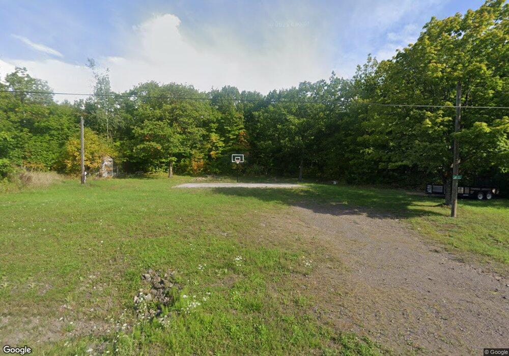
22144 Coal Dock Rd Hancock, MI 49930
Estimated Value: $109,136 - $337,000
3
Beds
2
Baths
1,092
Sq Ft
$204/Sq Ft
Est. Value
About This Home
This home is located at 22144 Coal Dock Rd, Hancock, MI 49930 and is currently estimated at $223,068, approximately $204 per square foot. 22144 Coal Dock Rd is a home located in Houghton County with nearby schools including Barkell Elementary School and Hancock Middle/High School.
Ownership History
Date
Name
Owned For
Owner Type
Purchase Details
Closed on
Aug 30, 2021
Sold by
Erickson and Jodi
Bought by
Wanhala David E
Current Estimated Value
Home Financials for this Owner
Home Financials are based on the most recent Mortgage that was taken out on this home.
Original Mortgage
$48,000
Outstanding Balance
$33,237
Interest Rate
2.15%
Mortgage Type
Construction
Estimated Equity
$189,831
Create a Home Valuation Report for This Property
The Home Valuation Report is an in-depth analysis detailing your home's value as well as a comparison with similar homes in the area
Home Values in the Area
Average Home Value in this Area
Purchase History
| Date | Buyer | Sale Price | Title Company |
|---|---|---|---|
| Wanhala David E | $60,000 | Transnation Title Agency |
Source: Public Records
Mortgage History
| Date | Status | Borrower | Loan Amount |
|---|---|---|---|
| Open | Wanhala David E | $48,000 |
Source: Public Records
Tax History Compared to Growth
Tax History
| Year | Tax Paid | Tax Assessment Tax Assessment Total Assessment is a certain percentage of the fair market value that is determined by local assessors to be the total taxable value of land and additions on the property. | Land | Improvement |
|---|---|---|---|---|
| 2025 | $1,767 | $42,418 | $0 | $0 |
| 2024 | $436 | $38,118 | $0 | $0 |
| 2023 | $415 | $33,658 | $0 | $0 |
| 2022 | $1,721 | $32,163 | $0 | $0 |
| 2021 | $212 | $29,548 | $0 | $0 |
| 2020 | $224 | $31,667 | $0 | $0 |
| 2019 | $212 | $29,611 | $0 | $0 |
| 2018 | $208 | $28,940 | $0 | $0 |
| 2017 | $199 | $29,780 | $0 | $0 |
| 2016 | -- | $3,641 | $0 | $0 |
| 2015 | -- | $3,641 | $0 | $0 |
| 2014 | -- | $3,641 | $0 | $0 |
Source: Public Records
Map
Nearby Homes
- Lot 2 Airport Park Rd Unit Co Rd 35B
- tbd M203
- TBD Lake Annie Cross Cut Rd
- 49962 Rosenlund Rd
- 21342 Royce Rd
- TBD B Gorton Rd
- TBD Michigan 26
- TBD 1a Franklin Tram Rd
- TBD F Boston Rd
- 23136 Dogwood Ave
- Lot 1 Airport Rd Unit Co Rd 35B
- 305 Emerald St
- TBD9 Dolomite Dr
- TBD Portage Cove
- TBD16 Dolomite Dr
- TBD15 Dolomite Dr
- TBD14 Dolomite Dr
- TBD13 Dolomite Dr
- TBD 12 Dolomite Dr
- TBD8 Dolomite Dr
- 22176 Coal Dock Rd
- 22079 Coal Dock Rd
- 22010 Coal Dock Rd
- 22010 Coal Dock Rd
- 22010 Coal Dock Rd
- 22271 Coal Dock Rd
- 22282 Coal Dock Rd
- 22324 Coal Dock Rd
- 49849 Blessent Rd
- 49794 Blessent Rd
- 21771 Coal Dock Rd
- 22446 Coal Dock Rd
- 22498 Coal Dock Rd
- 22498 Coal Dock Rd
- 22498 Coal Dock Rd
- 22498 Coal Dock Rd
- 49709 Coal Dock Rd
- 21503 Arcadian Hill Rd
- 49737 Coal Dock Rd
- 49645 Blessent Rd
