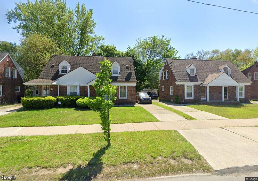
22148 Moross Rd Grosse Pointe, MI 48236
Cornerstone Village NeighborhoodEstimated Value: $68,000 - $88,000
2
Beds
1
Bath
840
Sq Ft
$95/Sq Ft
Est. Value
About This Home
This home is located at 22148 Moross Rd, Grosse Pointe, MI 48236 and is currently estimated at $79,939, approximately $95 per square foot. 22148 Moross Rd is a home located in Wayne County with nearby schools including Marquette Elementary-Middle School, Edward 'Duke' Ellington Conservatory of Music and Art, and Charles L. Spain Elementary-Middle School.
Ownership History
Date
Name
Owned For
Owner Type
Purchase Details
Closed on
Jul 17, 2015
Sold by
Sas Property Llc
Bought by
Stromco Rentals Llc
Current Estimated Value
Purchase Details
Closed on
Jun 3, 2011
Sold by
Bac Home Loans Servicing L P
Bought by
Fannie Mae and Federal National Mortgage Association
Purchase Details
Closed on
Mar 16, 2011
Sold by
Saigh Stephen P and Saigh Wendy S
Bought by
Bac Home Loans Servicing Lp
Create a Home Valuation Report for This Property
The Home Valuation Report is an in-depth analysis detailing your home's value as well as a comparison with similar homes in the area
Home Values in the Area
Average Home Value in this Area
Purchase History
| Date | Buyer | Sale Price | Title Company |
|---|---|---|---|
| Stromco Rentals Llc | $35,000 | Greco Title Agency Llc | |
| Fannie Mae | -- | None Available | |
| Bac Home Loans Servicing Lp | $30,200 | None Available |
Source: Public Records
Tax History Compared to Growth
Tax History
| Year | Tax Paid | Tax Assessment Tax Assessment Total Assessment is a certain percentage of the fair market value that is determined by local assessors to be the total taxable value of land and additions on the property. | Land | Improvement |
|---|---|---|---|---|
| 2025 | $829 | $31,100 | $0 | $0 |
| 2024 | $829 | $26,800 | $0 | $0 |
| 2023 | $804 | $20,000 | $0 | $0 |
| 2022 | $850 | $15,900 | $0 | $0 |
| 2021 | $830 | $12,500 | $0 | $0 |
| 2020 | $830 | $11,200 | $0 | $0 |
| 2019 | $819 | $9,500 | $0 | $0 |
| 2018 | $732 | $9,700 | $0 | $0 |
| 2017 | $119 | $9,900 | $0 | $0 |
| 2016 | $892 | $12,000 | $0 | $0 |
| 2015 | $1,200 | $12,000 | $0 | $0 |
| 2013 | $1,703 | $17,026 | $0 | $0 |
| 2010 | -- | $24,962 | $729 | $24,233 |
Source: Public Records
Map
Nearby Homes
- 19000 Chandler Park Dr
- 5228 Hillcrest St
- 22200 Moross Rd
- 5273 Hillcrest St
- 18721 Chandler Park Dr
- 21820 Moross Rd
- 21806 Moross Rd
- 5522 Ashley St
- 483 Allard Ave
- 21800 Moross Rd
- 21756 Moross Rd
- 450 Roland Rd
- 5056 Lafontaine St
- 19299 Raymond St
- 19226 Eastborne St
- 1597 Newcastle Rd
- 1730 Bournemouth Rd
- 21718 Moross Rd
- 19242 Eastborne St
- 486 Bournemouth Rd
- 22144 Moross Rd
- 22154 Moross Rd
- 22138 Moross Rd
- 22158 Moross Rd
- 22164 Moross Rd
- 22134 Moross Rd
- 22168 Moross Rd
- 5270 Hillcrest St
- 22120 Moross Rd
- 5278 Hillcrest St
- 5264 Hillcrest St
- 22174 Moross Rd
- 5288 Hillcrest St
- 5258 Hillcrest St
- 5250 Hillcrest St
- 22178 Moross Rd
- 22110 Moross Rd
- 19020 Chandler Park Dr Unit Bldg-Unit
- 19020 Chandler Park Dr
- 5244 Hillcrest St