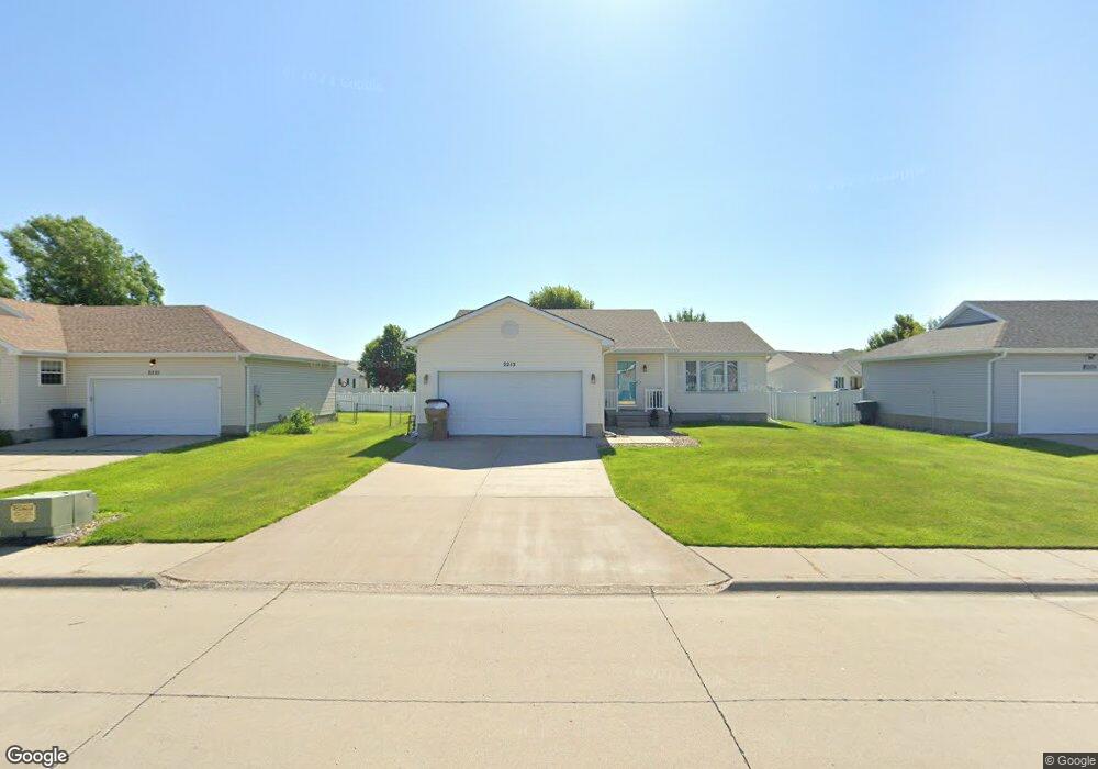
2215 Atlanta St Grand Island, NE 68803
Estimated Value: $305,000 - $347,000
3
Beds
3
Baths
1,256
Sq Ft
$262/Sq Ft
Est. Value
About This Home
This home is located at 2215 Atlanta St, Grand Island, NE 68803 and is currently estimated at $328,706, approximately $261 per square foot. 2215 Atlanta St is a home located in Hall County with nearby schools including Engleman Elementary School, Westridge Middle School, and Grand Island Senior High School.
Ownership History
Date
Name
Owned For
Owner Type
Purchase Details
Closed on
Sep 29, 2020
Sold by
Eschliman Nicholas L
Bought by
Eschliman Kristen L
Current Estimated Value
Purchase Details
Closed on
Jul 17, 2017
Sold by
Douglass Terrence L and Douglass Donna J
Bought by
Eschliman Nick L and Eschliman Kristen L
Home Financials for this Owner
Home Financials are based on the most recent Mortgage that was taken out on this home.
Original Mortgage
$193,922
Outstanding Balance
$162,283
Interest Rate
3.89%
Mortgage Type
FHA
Estimated Equity
$166,423
Create a Home Valuation Report for This Property
The Home Valuation Report is an in-depth analysis detailing your home's value as well as a comparison with similar homes in the area
Home Values in the Area
Average Home Value in this Area
Purchase History
| Date | Buyer | Sale Price | Title Company |
|---|---|---|---|
| Eschliman Kristen L | -- | None Available | |
| Eschliman Nick L | $198,000 | None Available |
Source: Public Records
Mortgage History
| Date | Status | Borrower | Loan Amount |
|---|---|---|---|
| Open | Eschliman Nick L | $193,922 | |
| Previous Owner | Douglas Terrence L | $86,800 | |
| Previous Owner | Douglass Terrence L | $93,200 |
Source: Public Records
Tax History Compared to Growth
Tax History
| Year | Tax Paid | Tax Assessment Tax Assessment Total Assessment is a certain percentage of the fair market value that is determined by local assessors to be the total taxable value of land and additions on the property. | Land | Improvement |
|---|---|---|---|---|
| 2024 | $3,454 | $237,094 | $25,805 | $211,289 |
| 2023 | $4,223 | $232,377 | $25,805 | $206,572 |
| 2022 | $4,191 | $208,534 | $20,705 | $187,829 |
| 2021 | $4,253 | $208,534 | $20,705 | $187,829 |
| 2020 | $3,736 | $208,534 | $20,705 | $187,829 |
| 2019 | $3,763 | $178,511 | $21,605 | $156,906 |
| 2017 | $3,644 | $171,039 | $21,605 | $149,434 |
| 2016 | $3,507 | $168,335 | $21,605 | $146,730 |
| 2015 | $3,550 | $167,812 | $21,605 | $146,207 |
| 2014 | $3,684 | $167,812 | $21,605 | $146,207 |
Source: Public Records
Map
Nearby Homes
- 4019 Sacramento Cir
- 2203 Macron St
- 4011 Sacramento Cir
- 3920 Majestic Ave
- 3814 Majestic Ave
- 3804 Norseman Ave
- 2110 Topeka Cir
- 4204 W Capital Ave
- 1604 Meadow Rd
- 4128 Allen Ave
- 4121 Allen Ave
- 3760 Lilac Ln
- 1429 Mansfield Rd
- 1647 Stonewood Ave
- 3750 Lilac Ln
- 3931 Chukar Cir
- 1539 Stonewood Ave
- 4242 Spur Ln
- 1328 Diamond Dr
- 1436 Sagewood Ave
- 2209 Atlanta St
- 2221 Atlanta St
- 4034 Boston Cir
- 2210 Atlanta St
- 2203 Atlanta St
- 2227 Atlanta St
- 4031 Boston Cir
- 4037 Norseman Ave
- 4026 Boston Cir
- 4034 Boston Cr
- xxx Norseman Ave
- 3809 Norseman Ave
- 4025 Boston Cir
- 2204 Atlanta St
- 2127 Atlanta St
- 4061 Norseman Ave
- 2122 Atlanta St
- 4026 Sacramento Cir
- 2121 Atlanta St
- 4034 Sacramento Cir