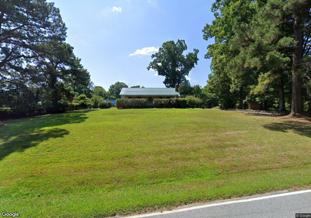
2215 Clark Rd Snow Camp, NC 27349
Estimated Value: $222,000 - $297,000
2
Beds
1
Bath
1,100
Sq Ft
$234/Sq Ft
Est. Value
About This Home
This home is located at 2215 Clark Rd, Snow Camp, NC 27349 and is currently estimated at $257,354, approximately $233 per square foot. 2215 Clark Rd is a home located in Alamance County with nearby schools including Sylvan Elementary School and Hawfields Middle School.
Ownership History
Date
Name
Owned For
Owner Type
Purchase Details
Closed on
Feb 21, 2018
Sold by
Federal National Mortgage Association
Bought by
Wall Jerrie Dawn and Wall Daniel Wayne
Current Estimated Value
Home Financials for this Owner
Home Financials are based on the most recent Mortgage that was taken out on this home.
Original Mortgage
$84,846
Outstanding Balance
$72,143
Interest Rate
4.15%
Mortgage Type
FHA
Estimated Equity
$185,211
Purchase Details
Closed on
Jun 13, 2017
Sold by
Ingle Grady I and Teague Thomas T
Bought by
Federal National Mortgage Association
Create a Home Valuation Report for This Property
The Home Valuation Report is an in-depth analysis detailing your home's value as well as a comparison with similar homes in the area
Home Values in the Area
Average Home Value in this Area
Purchase History
| Date | Buyer | Sale Price | Title Company |
|---|---|---|---|
| Wall Jerrie Dawn | -- | None Available | |
| Federal National Mortgage Association | $60,500 | None Available |
Source: Public Records
Mortgage History
| Date | Status | Borrower | Loan Amount |
|---|---|---|---|
| Open | Wall Jerrie Dawn | $84,846 |
Source: Public Records
Tax History Compared to Growth
Tax History
| Year | Tax Paid | Tax Assessment Tax Assessment Total Assessment is a certain percentage of the fair market value that is determined by local assessors to be the total taxable value of land and additions on the property. | Land | Improvement |
|---|---|---|---|---|
| 2025 | $1,021 | $171,928 | $40,708 | $131,220 |
| 2024 | $956 | $171,928 | $40,708 | $131,220 |
| 2023 | $888 | $171,928 | $40,708 | $131,220 |
| 2022 | $656 | $85,054 | $28,385 | $56,669 |
| 2021 | $664 | $85,054 | $28,385 | $56,669 |
| 2020 | $647 | $85,054 | $28,385 | $56,669 |
| 2019 | $651 | $85,054 | $28,385 | $56,669 |
| 2018 | $0 | $85,054 | $28,385 | $56,669 |
| 2017 | $571 | $85,054 | $28,385 | $56,669 |
| 2016 | $591 | $87,511 | $25,767 | $61,744 |
| 2015 | $590 | $87,880 | $25,767 | $62,113 |
| 2014 | $547 | $87,880 | $25,767 | $62,113 |
Source: Public Records
Map
Nearby Homes
- 2900 Quakenbush Rd
- 8024 Bird Dog Dr
- 8564 Crutchfield Rd
- 0 Major Hill Rd
- 107 Riley Ln
- 1147 Major Hill Rd
- 264 Wade Harris Rd
- 0 Bethel South Fork Rd Unit 10121921
- 0 Bethel South Fork Rd Unit 1194534
- 0 Bethel South Fork Rd Unit 10115928
- 9650 Twisted Oak Trail
- 0,1632 Bethel South Fork Rd Lindley Trail
- 1632 Lindley Trail
- 1475 Alta Vista Ln
- 4018 Moon Lindley Rd
- 7622 Lindley Mill Rd
- 5065 Harrier Dr
- 5055 Harrier Dr
- 5050 Harrier Dr
- 5746 Waxwing Dr
- 2208 Clark Rd
- 2235 Clark Rd
- 9025 Bethel South Fork Rd
- 9055 Bethel South Fork Rd
- 2116 Clark Rd
- 9037 Bethel South Fork Rd
- 9169 Bethel South Fork Rd
- 9108 Bethel South Fork Rd
- 9377 Bethel South Fork Rd
- 8957 Bethel Fork S
- 8957 Bethel South Fork Rd
- 2010 Clark Rd
- 1932 Clark Rd
- 8875 Bethel South Fork Rd
- 786 Bob Clark Rd
- 02 Bethel South Fork Rd
- 01 Bethel Fork S
- 00 Bethel South Fork Rd
- 8773 Bethel South Fork Rd
- 8746 Bethel South Fork Rd