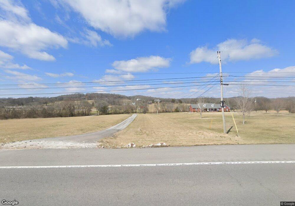
2215 Highway 31 E Gallatin, TN 37066
Bethpage NeighborhoodEstimated Value: $628,000 - $995,000
Studio
3
Baths
1,997
Sq Ft
$393/Sq Ft
Est. Value
About This Home
This home is located at 2215 Highway 31 E, Gallatin, TN 37066 and is currently estimated at $784,915, approximately $393 per square foot. 2215 Highway 31 E is a home located in Sumner County with nearby schools including Benny C. Bills Elementary School, Joe Shafer Middle School, and Gallatin Senior High School.
Ownership History
Date
Name
Owned For
Owner Type
Purchase Details
Closed on
Aug 13, 2015
Sold by
Hamilton James
Bought by
Villapiano Anthony and Villapiano Laurie M
Current Estimated Value
Home Financials for this Owner
Home Financials are based on the most recent Mortgage that was taken out on this home.
Original Mortgage
$232,000
Outstanding Balance
$180,968
Interest Rate
4.11%
Mortgage Type
New Conventional
Estimated Equity
$603,947
Purchase Details
Closed on
Mar 7, 2006
Sold by
Law Larry C and Law Jean S
Bought by
Hamilton James
Home Financials for this Owner
Home Financials are based on the most recent Mortgage that was taken out on this home.
Original Mortgage
$425,000
Interest Rate
6.05%
Mortgage Type
Purchase Money Mortgage
Purchase Details
Closed on
Feb 12, 2003
Sold by
Law Larry C and Law Jean S
Bought by
Fisher Earl and Fisher Khristi
Create a Home Valuation Report for This Property
The Home Valuation Report is an in-depth analysis detailing your home's value as well as a comparison with similar homes in the area
Home Values in the Area
Average Home Value in this Area
Purchase History
We collect this data history from publicly available records. To have your information removed, we recommend requesting removal directly through your county’s website.
| Date | Buyer | Sale Price | Title Company |
|---|---|---|---|
| Villapiano Anthony | $290,000 | None Available | |
| Hamilton James | $410,000 | Cumberland Title | |
| Fisher Earl | $50,850 | -- |
Source: Public Records
Mortgage History
We collect this data history from publicly available records. To have your information removed, we recommend requesting removal directly through your county’s website.
| Date | Status | Borrower | Loan Amount |
|---|---|---|---|
| Open | Villapiano Anthony | $232,000 | |
| Previous Owner | Hamilton James | $425,000 |
Source: Public Records
Tax History
| Year | Tax Paid | Tax Assessment Tax Assessment Total Assessment is a certain percentage of the fair market value that is determined by local assessors to be the total taxable value of land and additions on the property. | Land | Improvement |
|---|---|---|---|---|
| 2025 | $1,383 | $97,300 | $28,550 | $68,750 |
| 2023 | $1,150 | $51,050 | $12,550 | $38,500 |
| 2022 | $1,155 | $51,050 | $12,550 | $38,500 |
| 2021 | $1,155 | $51,050 | $12,550 | $38,500 |
| 2020 | $1,155 | $51,050 | $12,550 | $38,500 |
| 2019 | $1,155 | $0 | $0 | $0 |
| 2018 | $1,168 | $0 | $0 | $0 |
| 2017 | $1,168 | $0 | $0 | $0 |
| 2016 | $1,167 | $0 | $0 | $0 |
| 2015 | -- | $0 | $0 | $0 |
| 2014 | -- | $0 | $0 | $0 |
Source: Public Records
Map
Nearby Homes
- 118 Sideview Rd
- 120 Sideview Rd
- 0 Pond Dr
- 1040 Double Tree Ln
- 1027 Double Tree Ln
- 1031 Caballo Trail
- 1067 Caballo Trail
- 1059 Caballo Trail
- 2446 Highway 31 E
- 1027 Caballo Trail
- 94 Branham Mill Rd
- 1008 Millbrook Way
- 794 Brights Ln
- 1060 Millbrook Way
- 8 Deshea Creek Rd
- 1036 Millbrook Way
- 2 Deshea Creek Rd
- 6 Deshea Creek Rd
- 3 Deshea Creek Rd
- 1 Deshea Creek Rd
- 2215 Highway 31 E
- 2221 Highway 31 E
- 2203 Highway 31 E
- 2203 Highway 31 E
- 2201 Highway 31 E
- 2225 Highway 31 E
- 2231 Highway 31 E
- 2204 Highway 31 E
- 2204 Highway 31 E
- 2235 Highway 31 E
- 2202 Highway 31 E
- 2192 Highway 31 E
- 2298 Highway 31 E
- 1055 Kansas Ln
- 2226 Highway 31 E
- 9 Sideview Rd
- 115 Mount Zion Ln
- 102 Sideview Rd
- 114 Sideview Rd
- 1015 Kansas Ln
Your Personal Tour Guide
Ask me questions while you tour the home.