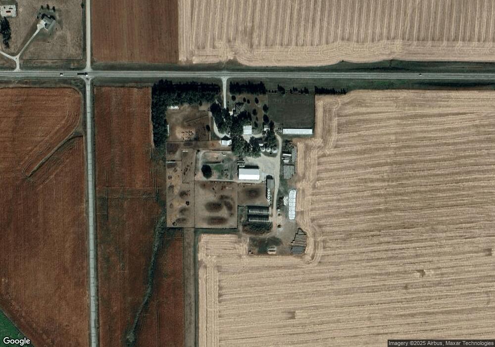
2215 Highway 32 West Point, NE 68788
Estimated Value: $506,000 - $878,043
3
Beds
4
Baths
2,143
Sq Ft
$323/Sq Ft
Est. Value
About This Home
This home is located at 2215 Highway 32, West Point, NE 68788 and is currently estimated at $692,022, approximately $322 per square foot. 2215 Highway 32 is a home located in Cuming County with nearby schools including West Point-Beemer Junior/Senior High School.
Create a Home Valuation Report for This Property
The Home Valuation Report is an in-depth analysis detailing your home's value as well as a comparison with similar homes in the area
Home Values in the Area
Average Home Value in this Area
Tax History Compared to Growth
Tax History
| Year | Tax Paid | Tax Assessment Tax Assessment Total Assessment is a certain percentage of the fair market value that is determined by local assessors to be the total taxable value of land and additions on the property. | Land | Improvement |
|---|---|---|---|---|
| 2025 | $3,918 | $731,185 | $169,545 | $561,640 |
| 2024 | $3,918 | $648,560 | $158,010 | $490,550 |
| 2023 | $5,706 | $630,295 | $146,225 | $484,070 |
| 2022 | $5,430 | $548,375 | $125,955 | $422,420 |
| 2021 | $5,129 | $512,485 | $120,355 | $392,130 |
| 2020 | $4,763 | $483,015 | $122,835 | $360,180 |
| 2019 | $4,150 | $411,885 | $122,965 | $288,920 |
| 2018 | $4,247 | $426,520 | $124,625 | $301,895 |
| 2017 | $4,127 | $401,140 | $115,630 | $285,510 |
| 2016 | $3,907 | $365,160 | $113,575 | $251,585 |
| 2015 | $4,132 | $354,265 | $102,680 | $251,585 |
| 2014 | $4,511 | $348,505 | $89,380 | $259,125 |
| 2013 | $4,511 | $309,015 | $67,285 | $241,730 |
Source: Public Records
Map
Nearby Homes
- 2416 F Rd
- 1225 Co Road 1
- 2235 K Rd
- 1045 E Grove St
- 126 E Grove St
- 749 E Grove St
- 420 S Farragut St
- 626 S Monitor St
- 1402 E Bridge St
- 519 S Niphon St
- 205 E Sheridan St
- 208 N Lincoln St
- 101 S Main St
- 301 W Pine St
- 1207 N Main St
- 402 W Pine St
- TBD Oakland
- 328 N Oakland Ave
- 108 N Thomas Ave
- 206 N Thomas Ave