2215 Hollowoak Dr Hanover, MD 21076
Estimated Value: $816,315 - $1,032,000
--
Bed
4
Baths
4,032
Sq Ft
$234/Sq Ft
Est. Value
About This Home
This home is located at 2215 Hollowoak Dr, Hanover, MD 21076 and is currently estimated at $943,829, approximately $234 per square foot. 2215 Hollowoak Dr is a home located in Anne Arundel County with nearby schools including Hebron-Harman Elementary School, MacArthur Middle School, and Meade High School.
Ownership History
Date
Name
Owned For
Owner Type
Purchase Details
Closed on
Dec 14, 2016
Bought by
Dowuona Lilian
Current Estimated Value
Home Financials for this Owner
Home Financials are based on the most recent Mortgage that was taken out on this home.
Original Mortgage
$572,200
Outstanding Balance
$470,528
Interest Rate
4.13%
Estimated Equity
$473,301
Purchase Details
Closed on
Dec 9, 2009
Sold by
Arundel Preserve #10A Llc
Bought by
Dowuona Edmund and Dowuona Lilian
Home Financials for this Owner
Home Financials are based on the most recent Mortgage that was taken out on this home.
Original Mortgage
$528,748
Interest Rate
4.92%
Mortgage Type
FHA
Create a Home Valuation Report for This Property
The Home Valuation Report is an in-depth analysis detailing your home's value as well as a comparison with similar homes in the area
Home Values in the Area
Average Home Value in this Area
Purchase History
| Date | Buyer | Sale Price | Title Company |
|---|---|---|---|
| Dowuona Lilian | -- | -- | |
| Dowuona Edmund | $577,395 | -- |
Source: Public Records
Mortgage History
| Date | Status | Borrower | Loan Amount |
|---|---|---|---|
| Open | Dowuona Lilian | $572,200 | |
| Closed | Dowuona Lilian | -- | |
| Previous Owner | Dowuona Edmund | $528,748 |
Source: Public Records
Tax History Compared to Growth
Tax History
| Year | Tax Paid | Tax Assessment Tax Assessment Total Assessment is a certain percentage of the fair market value that is determined by local assessors to be the total taxable value of land and additions on the property. | Land | Improvement |
|---|---|---|---|---|
| 2025 | $7,933 | $799,700 | $120,000 | $679,700 |
| 2024 | $7,933 | $751,667 | $0 | $0 |
| 2023 | $7,702 | $703,633 | $0 | $0 |
| 2022 | $7,175 | $655,600 | $120,000 | $535,600 |
| 2021 | $14,098 | $647,933 | $0 | $0 |
| 2020 | $6,889 | $640,267 | $0 | $0 |
| 2019 | $6,772 | $632,600 | $160,000 | $472,600 |
| 2018 | $6,210 | $612,467 | $0 | $0 |
| 2017 | $4,100 | $592,333 | $0 | $0 |
| 2016 | -- | $572,200 | $0 | $0 |
| 2015 | -- | $569,933 | $0 | $0 |
| 2014 | -- | $567,667 | $0 | $0 |
Source: Public Records
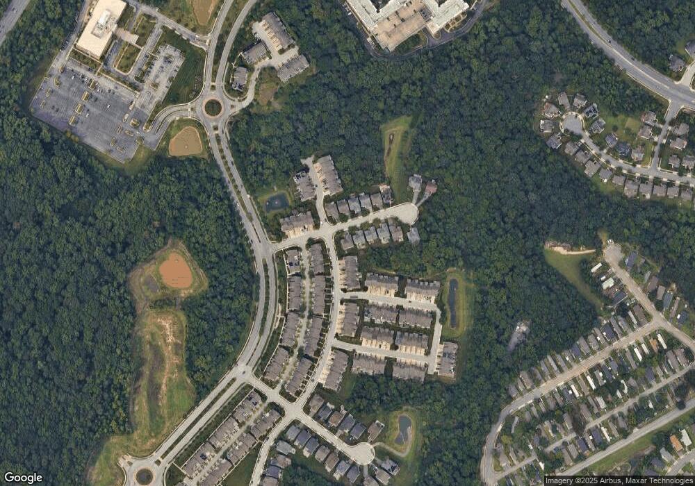
Map
Nearby Homes
- 7611 Elmcrest Rd
- 2642 Shade Branch Rd
- 2727 Amber Crest Rd
- 7951 Silver Oak Rd
- 7926 Silver Oak Rd
- 7147 Wedmore Ct
- 7591 Taunton Ct
- 7560 Newmanstown Dr
- 2616 Hardaway Cir
- 8357 Meadowood Dr
- 7490 Race Rd
- 1544 Rutland Way
- 7808 Union Hill Dr
- 7310 Wisteria Point Dr
- 2044 Orchard Ave
- 7328 Wisteria Point Dr
- 7417 Copper Lake Dr
- 7296 Dorchester Woods Ln
- 8221 Meadowood Dr
- 7907 Chalice Rd
- 2217 Hollowoak Dr
- 7737 Crystal Brook Way
- 7739 Crystal Brook Way
- 2219 Hollowoak Dr
- 0 Hollowoak Unit AA6384515
- 0 Hollowoak Unit AA6384513
- 0 Hollowoak Unit AA6384508
- 0 Hollowoak Unit AA6384503
- 0 Hollowoak Unit AA6301814
- 0 Hollowoak Unit AA6685694
- 0 Hollowoak
- 0 Hollowoak Unit AA6761713
- 0 Hollowoak Unit AA7196189
- 0 Hollowoak Unit 1005149528
- 0 Hollowoak Unit 1008976646
- 0 Hollowoak Unit 1008970150
- 0 Hollowoak Unit 1008970052
- 0 Hollowoak Unit 1008970038
- 0 Hollowoak Unit 1008739990
- 0 Hollowoak Unit 1008514526