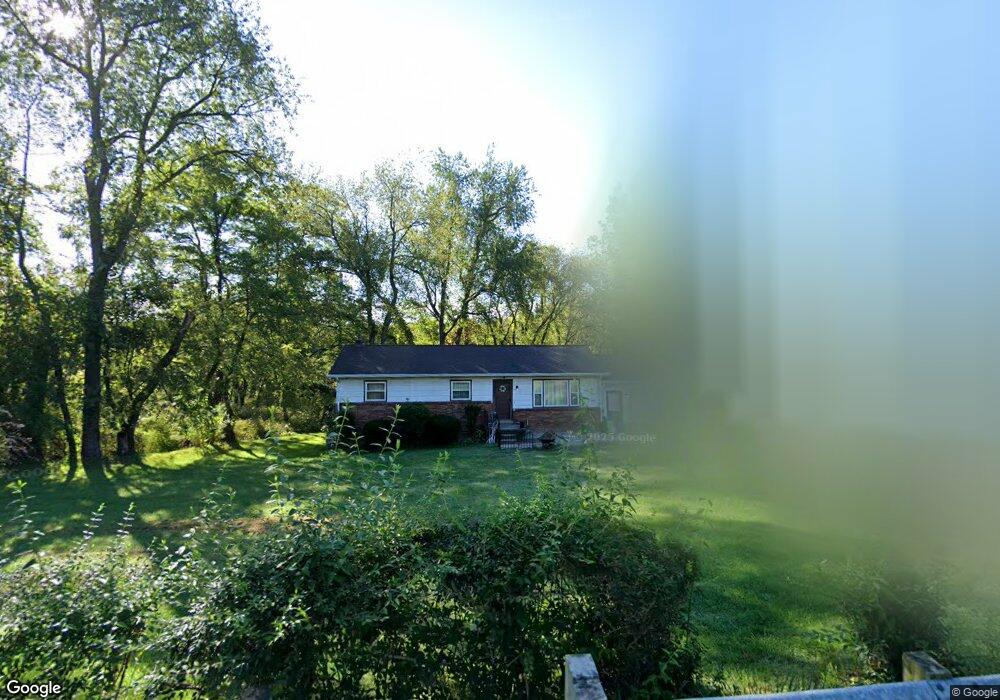
2215 Hubbard Masury Rd Hubbard, OH 44425
Estimated Value: $147,000 - $177,000
3
Beds
1
Bath
1,144
Sq Ft
$137/Sq Ft
Est. Value
About This Home
This home is located at 2215 Hubbard Masury Rd, Hubbard, OH 44425 and is currently estimated at $156,639, approximately $136 per square foot. 2215 Hubbard Masury Rd is a home located in Trumbull County with nearby schools including Hubbard Elementary School, Hubbard Middle School, and Hubbard High School.
Ownership History
Date
Name
Owned For
Owner Type
Purchase Details
Closed on
Nov 5, 2013
Sold by
Rhodes Amy L
Bought by
Rhodes Jack W
Current Estimated Value
Purchase Details
Closed on
Jun 19, 2003
Sold by
Agresti Louise M
Bought by
Rhodes Jack W and Rhodes Amy L
Purchase Details
Closed on
Jun 5, 2003
Sold by
Agresti Samuel J
Bought by
Agresti Louise M
Purchase Details
Closed on
Jan 1, 1990
Bought by
Samuel J Agreste
Create a Home Valuation Report for This Property
The Home Valuation Report is an in-depth analysis detailing your home's value as well as a comparison with similar homes in the area
Home Values in the Area
Average Home Value in this Area
Purchase History
| Date | Buyer | Sale Price | Title Company |
|---|---|---|---|
| Rhodes Jack W | -- | None Available | |
| Rhodes Jack W | $85,500 | -- | |
| Agresti Louise M | -- | -- | |
| Samuel J Agreste | -- | -- |
Source: Public Records
Tax History Compared to Growth
Tax History
| Year | Tax Paid | Tax Assessment Tax Assessment Total Assessment is a certain percentage of the fair market value that is determined by local assessors to be the total taxable value of land and additions on the property. | Land | Improvement |
|---|---|---|---|---|
| 2024 | $2,065 | $36,440 | $3,780 | $32,660 |
| 2023 | $2,065 | $36,440 | $3,780 | $32,660 |
| 2022 | $1,878 | $29,550 | $3,470 | $26,080 |
| 2021 | $1,886 | $29,550 | $3,470 | $26,080 |
| 2020 | $1,894 | $29,550 | $3,470 | $26,080 |
| 2019 | $1,752 | $25,900 | $3,220 | $22,680 |
| 2018 | $1,700 | $25,900 | $3,220 | $22,680 |
| 2017 | $1,695 | $25,900 | $3,220 | $22,680 |
| 2016 | $1,524 | $24,430 | $3,220 | $21,210 |
| 2015 | $1,529 | $24,430 | $3,220 | $21,210 |
| 2014 | $1,499 | $24,430 | $3,220 | $21,210 |
| 2013 | $1,540 | $24,430 | $3,220 | $21,210 |
Source: Public Records
Map
Nearby Homes
- 1911 Hubbard Thomas Rd
- 1952 Hubbard Masury Rd
- 7111 Pine Grove Dr
- 784 Elmwood Dr
- 462 Elizabeth St
- 395 Elizabeth St
- 132 Drummond Ave
- 611 Moore St
- 764 Jones St
- 138 Moore St
- 430 E Park Ave
- 1354 Stevenson Rd
- 248 Myron St
- 7737 Elm St
- 7847 Chestnut St
- 50 Walnut St
- 319 E Liberty St
- 7822 2nd St
- 110 School St
- 114 Oakdale Ave
- 2221 Hubbard Masury Rd
- 2227 Hubbard Masury Rd
- 2220 Hubbard Masury Rd
- 2235 Hubbard Masury Rd
- 2196 Hubbard Masury Rd
- 2236 Hubbard Masury Rd
- 2190 Hubbard Masury Rd
- 2241 Hubbard Masury Rd
- 2195 Hubbard Masury Rd
- 2188 Hubbard Masury Rd
- 2259 Hubbard Masury Rd
- 2185 Hubbard Masury Rd
- 2186 Hubbard Masury Rd
- 2164 Price Rd
- 2184 Hubbard Masury Rd
- 2183 Hubbard Masury Rd
- 2160 Price Rd
- 2278 Hubbard Masury Rd
- 2151 Price Rd
- 2154 Price Rd