2215 Meisman Ln Bethel, OH 45106
Estimated Value: $418,932 - $474,000
4
Beds
3
Baths
2,055
Sq Ft
$215/Sq Ft
Est. Value
About This Home
This home is located at 2215 Meisman Ln, Bethel, OH 45106 and is currently estimated at $442,733, approximately $215 per square foot. 2215 Meisman Ln is a home located in Clermont County with nearby schools including Bick Primary Elementary School, Hill Intermediate Elementary School, and Bethel-Tate Middle School.
Ownership History
Date
Name
Owned For
Owner Type
Purchase Details
Closed on
May 14, 2008
Sold by
Lowe Matthew B and Lowe Heidi
Bought by
Hedman Jeremy
Current Estimated Value
Purchase Details
Closed on
Dec 5, 2002
Sold by
Countrytyme Lebanon Ltd
Bought by
Lowe Matthew B and Lowe Heidi
Home Financials for this Owner
Home Financials are based on the most recent Mortgage that was taken out on this home.
Original Mortgage
$162,500
Interest Rate
6.38%
Mortgage Type
New Conventional
Create a Home Valuation Report for This Property
The Home Valuation Report is an in-depth analysis detailing your home's value as well as a comparison with similar homes in the area
Home Values in the Area
Average Home Value in this Area
Purchase History
| Date | Buyer | Sale Price | Title Company |
|---|---|---|---|
| Hedman Jeremy | $199,000 | Lawyers Title Cincinnati Inc | |
| Lowe Matthew B | $19,744 | -- |
Source: Public Records
Mortgage History
| Date | Status | Borrower | Loan Amount |
|---|---|---|---|
| Previous Owner | Lowe Matthew B | $162,500 |
Source: Public Records
Tax History Compared to Growth
Tax History
| Year | Tax Paid | Tax Assessment Tax Assessment Total Assessment is a certain percentage of the fair market value that is determined by local assessors to be the total taxable value of land and additions on the property. | Land | Improvement |
|---|---|---|---|---|
| 2024 | $4,000 | $98,630 | $18,270 | $80,360 |
| 2023 | $4,035 | $98,630 | $18,270 | $80,360 |
| 2022 | $3,295 | $74,310 | $13,370 | $60,940 |
| 2021 | $3,329 | $74,310 | $13,370 | $60,940 |
| 2020 | $3,175 | $74,310 | $13,370 | $60,940 |
| 2019 | $3,012 | $66,890 | $12,180 | $54,710 |
| 2018 | $3,093 | $66,890 | $12,180 | $54,710 |
| 2017 | $2,742 | $66,890 | $12,180 | $54,710 |
| 2016 | $2,742 | $55,300 | $10,080 | $45,220 |
| 2015 | $2,079 | $50,540 | $10,080 | $40,460 |
| 2014 | $2,076 | $50,540 | $10,080 | $40,460 |
| 2013 | $2,139 | $52,010 | $10,080 | $41,930 |
Source: Public Records
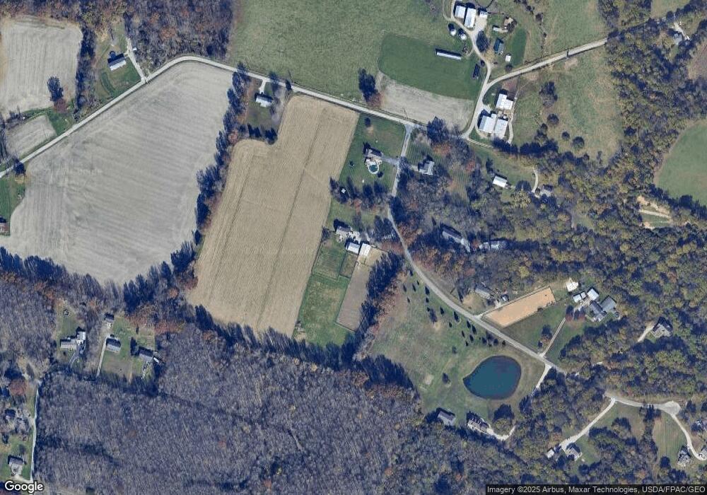
Map
Nearby Homes
- 2203 Meisman Ln
- 2232 Ohio 222
- 2655 Harry A Hill Dr
- 2131 West Rd
- 1459 Ginn Rd
- 2123 Josephs Run Rd
- 2639 E Amelia Farms Rd
- ac Laurel-Point Isabel Rd
- 2130 Ohio 133
- 2089 Ohio 133
- 2363 Crane Schoolhouse Rd
- Goodwin Schoolhouse Point Isabel Rd
- 2791 S Bantam Rd
- 2572 Poplar Ridge Dr
- 2721 Ohio 232
- 314 Faith Way
- 720 W Plane St
- 140 Clark St
- 2128 Donald Rd
- 2068 Ohio 133
- 2653 Saltair Maple Rd
- 2218 Meisman Ln
- 2214 Meisman Ln
- 2645 Saltair Maple Rd
- 2663 Saltair Maple Rd
- 2629 Nola Dr
- 2209 Meisman Ln
- 2212 Meisman Ln
- 2604 Saltair Maple Rd
- 2623 Nola Dr
- 2210 Meisman Ln
- 2602 Saltair Maple Rd
- 2205 Meisman Ln
- 2565 Saltair Maple Rd
- 2565 Saltair Maple Rd
- 2206 Meisman Ln
- 2572 Saltair Maple Rd
- 2175 State Route 222
- 2564 Saltair Maple Rd
- 2634 Marylan Dr