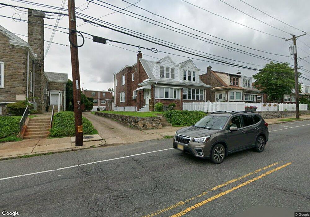
2215 Rhawn St Philadelphia, PA 19152
Rhawnhurst NeighborhoodEstimated Value: $333,000 - $377,000
3
Beds
2
Baths
1,600
Sq Ft
$218/Sq Ft
Est. Value
About This Home
This home is located at 2215 Rhawn St, Philadelphia, PA 19152 and is currently estimated at $348,931, approximately $218 per square foot. 2215 Rhawn St is a home located in Philadelphia County with nearby schools including Farrell Louis H School, Northeast High School, and Tacony Academy Charter School.
Ownership History
Date
Name
Owned For
Owner Type
Purchase Details
Closed on
Oct 5, 2011
Sold by
Cesario Robert J and Cesario Judith A
Bought by
Frantz Jean Pierre Milot and Frantz Jean Pierre Marie
Current Estimated Value
Home Financials for this Owner
Home Financials are based on the most recent Mortgage that was taken out on this home.
Original Mortgage
$177,386
Outstanding Balance
$115,001
Interest Rate
3.25%
Mortgage Type
FHA
Estimated Equity
$233,930
Create a Home Valuation Report for This Property
The Home Valuation Report is an in-depth analysis detailing your home's value as well as a comparison with similar homes in the area
Home Values in the Area
Average Home Value in this Area
Purchase History
| Date | Buyer | Sale Price | Title Company |
|---|---|---|---|
| Frantz Jean Pierre Milot | $182,000 | None Available |
Source: Public Records
Mortgage History
| Date | Status | Borrower | Loan Amount |
|---|---|---|---|
| Open | Frantz Jean Pierre Milot | $177,386 |
Source: Public Records
Tax History Compared to Growth
Tax History
| Year | Tax Paid | Tax Assessment Tax Assessment Total Assessment is a certain percentage of the fair market value that is determined by local assessors to be the total taxable value of land and additions on the property. | Land | Improvement |
|---|---|---|---|---|
| 2026 | $3,416 | $318,000 | $63,600 | $254,400 |
| 2025 | $3,416 | $318,000 | $63,600 | $254,400 |
| 2024 | $3,416 | $318,000 | $63,600 | $254,400 |
| 2023 | $3,416 | $244,000 | $48,800 | $195,200 |
| 2022 | $2,203 | $199,000 | $48,800 | $150,200 |
| 2021 | $2,833 | $0 | $0 | $0 |
| 2020 | $2,833 | $0 | $0 | $0 |
| 2019 | $2,580 | $0 | $0 | $0 |
| 2018 | $2,037 | $0 | $0 | $0 |
| 2017 | $2,457 | $0 | $0 | $0 |
| 2016 | $2,037 | $0 | $0 | $0 |
| 2015 | $1,548 | $0 | $0 | $0 |
| 2014 | -- | $175,500 | $49,829 | $125,671 |
| 2012 | -- | $20,736 | $3,021 | $17,715 |
Source: Public Records
Map
Nearby Homes
- 2232 Stanwood St
- 2302 Rhawn St
- 2250 Stanwood St
- 2301 Ripley St
- 2308 Fuller St
- 2123 Loney St
- 2345 Ripley St
- 2029 Loney St
- 2223 Emerson St
- 2321 Emerson St
- 7815 Horrocks St
- 2155 Benson St
- 1917 Griffith St
- 2023 Hartel Ave
- 2162 Strahle St
- 2727 Rhawn St Unit 7AB
- 7912 14 Loretto Ave
- 2201 00 Strahle St Unit C303
- 2201 Strahle St Unit C302
- 2120 Napfle St
- 2217 Rhawn St
- 2219 Rhawn St
- 2221 Rhawn St
- 2214 Fuller St
- 2216 Fuller St
- 2223 Rhawn St
- 2218 Fuller St
- 2220 Fuller St
- 2225 Rhawn St
- 2222 Fuller St
- 2227 Rhawn St
- 2224 Fuller St
- 2212 Rhawn St
- 2212 Rhawn St Unit A
- 2212 Rhawn St Unit GARAGE
- 2212 Rhawn St Unit B
- 2214 Rhawn St
- 2210 Rhawn St
- 2229 Rhawn St
- 2226 Fuller St