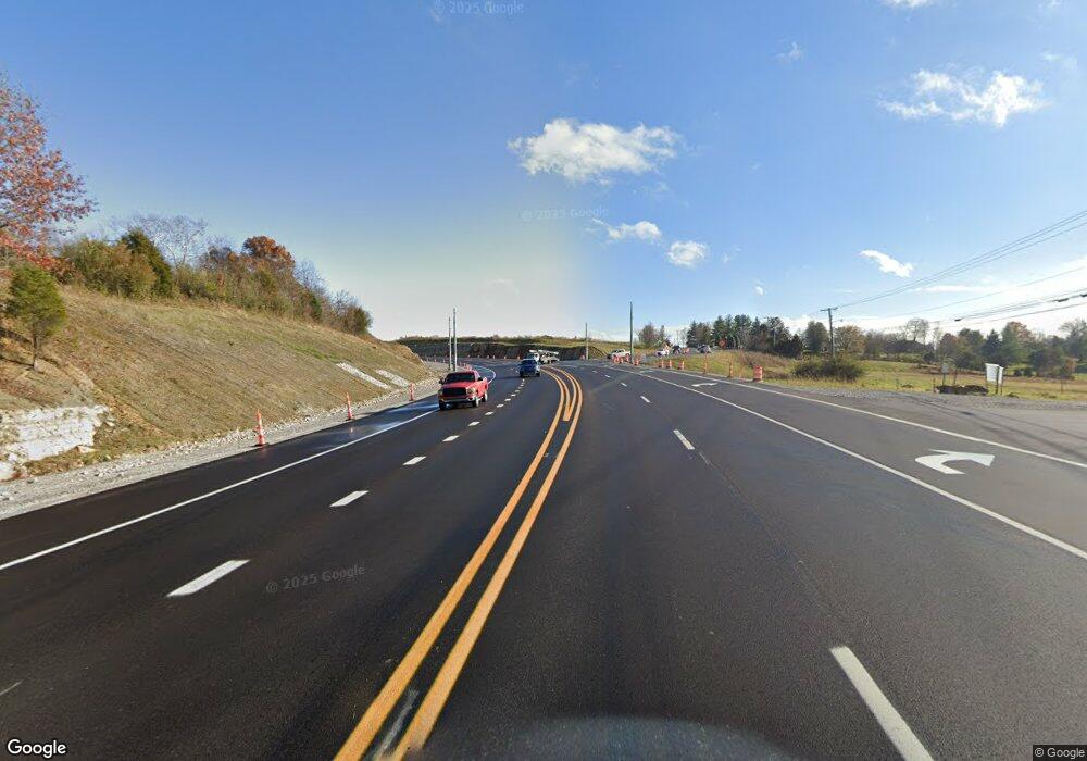
2215 W Highway 22 Crestwood, KY 40014
Estimated Value: $249,000 - $361,000
2
Beds
1
Bath
1,154
Sq Ft
$261/Sq Ft
Est. Value
About This Home
This home is located at 2215 W Highway 22, Crestwood, KY 40014 and is currently estimated at $301,328, approximately $261 per square foot. 2215 W Highway 22 is a home located in Oldham County with nearby schools including Centerfield Elementary School, East Oldham Middle School, and Oldham County High School.
Ownership History
Date
Name
Owned For
Owner Type
Purchase Details
Closed on
Jan 15, 2014
Sold by
Koenig David T and Koenig Deborah L
Bought by
Koenig David T and Koenig Deborah L
Current Estimated Value
Purchase Details
Closed on
Jan 6, 2011
Sold by
Carnes Melanie
Bought by
Koenig David T
Home Financials for this Owner
Home Financials are based on the most recent Mortgage that was taken out on this home.
Original Mortgage
$122,805
Outstanding Balance
$82,596
Interest Rate
4.5%
Mortgage Type
FHA
Estimated Equity
$218,732
Purchase Details
Closed on
Sep 25, 2006
Sold by
Riggs Joseph David and Riggs Ruth Jeanette
Bought by
Carnes Melanie
Home Financials for this Owner
Home Financials are based on the most recent Mortgage that was taken out on this home.
Original Mortgage
$95,060
Interest Rate
6.46%
Mortgage Type
New Conventional
Create a Home Valuation Report for This Property
The Home Valuation Report is an in-depth analysis detailing your home's value as well as a comparison with similar homes in the area
Home Values in the Area
Average Home Value in this Area
Purchase History
| Date | Buyer | Sale Price | Title Company |
|---|---|---|---|
| Koenig David T | -- | None Available | |
| Koenig David T | $126,000 | Springdale Title Llc | |
| Carnes Melanie | $98,000 | None Available |
Source: Public Records
Mortgage History
| Date | Status | Borrower | Loan Amount |
|---|---|---|---|
| Open | Koenig David T | $122,805 | |
| Previous Owner | Carnes Melanie | $95,060 |
Source: Public Records
Tax History Compared to Growth
Tax History
| Year | Tax Paid | Tax Assessment Tax Assessment Total Assessment is a certain percentage of the fair market value that is determined by local assessors to be the total taxable value of land and additions on the property. | Land | Improvement |
|---|---|---|---|---|
| 2024 | $2,025 | $160,000 | $50,000 | $110,000 |
| 2023 | $2,035 | $160,000 | $50,000 | $110,000 |
| 2022 | $2,019 | $160,000 | $50,000 | $110,000 |
| 2021 | $2,007 | $160,000 | $50,000 | $110,000 |
| 2020 | $1,641 | $130,000 | $40,000 | $90,000 |
| 2019 | $1,626 | $130,000 | $40,000 | $90,000 |
| 2018 | $1,626 | $130,000 | $0 | $0 |
| 2017 | $1,615 | $130,000 | $0 | $0 |
| 2013 | $1,208 | $120,000 | $40,000 | $80,000 |
Source: Public Records
Map
Nearby Homes
- 5270 Payton Ln
- 5003 Fairview Dr
- 2915 W State Highway 22
- 5517 Farmhouse Dr
- 6910 Colton Rd
- 4541 Northridge Cir
- 2005 Fox Trail Dr
- 3107 Salt Lick Rd
- 4405 Carolyn Ct
- 6209 Osage Rd
- 5501 Farmhouse Dr
- 4601 Sunny Hill Dr
- 5504 Farmhouse Dr
- 3104 Horseshoe Ct
- 5502 Farmhouse Dr
- 7001 Stable Ct
- 5510 Farmhouse Dr
- 5319 High Crest Dr
- 3400 S Camden Ln
- 1805 Wildbriar Ct
- 2213 W Highway 22
- 2203 W Highway 22
- 4503 S Highway 393
- 4211 S Highway 393
- 4000 S Highway 393
- 4105 S Highway 393
- 4701 Harvest Dr
- 4705 Harvest Dr
- 2219 W Highway 22
- 2212 W Highway 22
- 4709 Harvest Dr
- 2210 W Highway 22
- 2206 W Highway 22
- 2370 N Highway 393
- 4706 Harvest Dr
- 2405 W Highway 22
- 4711 Harvest Dr
- 5008 Harvest Dr
- 4710 Harvest Dr
- 2005 Montfort Cir
