Estimated Value: $171,000 - $309,846
--
Bed
--
Bath
1,308
Sq Ft
$178/Sq Ft
Est. Value
About This Home
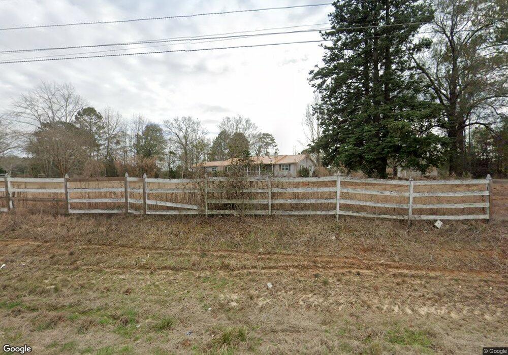
This home is located at 2215 W Highway 27, Ozark, AL 36360 and is currently estimated at $232,462, approximately $177 per square foot. 2215 W Highway 27 is a home located in Dale County with nearby schools including Lisenby Primary School, Mixon Intermediate School, and D. A. Smith Middle School.
Ownership History
Date
Name
Owned For
Owner Type
Purchase Details
Closed on
Oct 23, 2017
Sold by
Tompouce Llc
Bought by
Niles Anne L and Pallais Connie
Current Estimated Value
Purchase Details
Closed on
Sep 15, 2015
Sold by
Secretary Of Housing And Urban Developme
Bought by
Tompouce Llc
Purchase Details
Closed on
Mar 26, 2009
Sold by
Dawley Karin L and Hansen Karin L
Bought by
Dawley Karin L and Dawley Richard W
Create a Home Valuation Report for This Property
The Home Valuation Report is an in-depth analysis detailing your home's value as well as a comparison with similar homes in the area
Home Values in the Area
Average Home Value in this Area
Purchase History
| Date | Buyer | Sale Price | Title Company |
|---|---|---|---|
| Niles Anne L | $142,000 | None Available | |
| Tompouce Llc | $94,701 | -- | |
| Dawley Karin L | $295,000 | -- |
Source: Public Records
Tax History Compared to Growth
Tax History
| Year | Tax Paid | Tax Assessment Tax Assessment Total Assessment is a certain percentage of the fair market value that is determined by local assessors to be the total taxable value of land and additions on the property. | Land | Improvement |
|---|---|---|---|---|
| 2024 | $312 | $9,240 | $2,580 | $6,660 |
| 2023 | $312 | $8,180 | $2,180 | $6,000 |
| 2022 | $232 | $6,620 | $6,620 | $0 |
| 2021 | $219 | $6,200 | $1,720 | $4,480 |
| 2020 | $219 | $6,200 | $1,720 | $4,480 |
| 2019 | $219 | $6,200 | $1,720 | $4,480 |
| 2018 | $235 | $6,720 | $2,280 | $4,440 |
| 2017 | $230 | $6,560 | $2,160 | $4,400 |
| 2016 | $230 | $6,560 | $2,160 | $4,400 |
| 2015 | $225 | $6,380 | $2,160 | $4,220 |
| 2014 | $222 | $6,300 | $2,160 | $4,140 |
| 2013 | $219 | $6,300 | $2,160 | $4,140 |
Source: Public Records
Map
Nearby Homes
- 6.5 Acres Bill Deloney Rd
- 318 Doe Run Rd
- 3095 Andrews Ave
- 00 Harris Rd
- TBD Andrews Ave
- 0 Highway 231 Unit 27521
- 0 Highway 231 Unit 554522
- Lot 4 Bunting Dr
- 424 Merrydell Dr
- Lot 2 Daniel Dr
- Lot 6 & 7 Brookwood Brookwood Cir
- 127 Peters Cir
- 178 Jasmine Dr
- 8602 U S 231
- N/A U S 231
- 236 Shulsen Dr
- 0 U S 231
- Lot 4 U S 231
- Lot 5 U S 231
- 130 Stephanie Dr
- 2215 W Highway 27
- 2215 Alabama 27
- 2275 W Highway 27
- 2222 W Highway 27
- 1976 W Highway 27
- 2136 W Highway 27
- 143 County Road 34
- 2146 W Highway 27
- 111 County Road 34
- 1928 W Highway 27
- 1915 County Road 34
- 2510 W Highway 27
- 2589 E Highway 27
- 2547 W Highway 27
- 1781 W Highway 27
- 1825 W Highway 27 Hwy
- 1790 Alabama 27
- 1790 W Highway 27
- 1644 W Highway 27
- 1744 W Highway 27