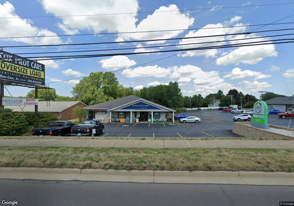
2215 W State St Alliance, OH 44601
Estimated Value: $1,745,907
--
Bed
3
Baths
8,800
Sq Ft
$198/Sq Ft
Est. Value
About This Home
This home is located at 2215 W State St, Alliance, OH 44601 and is currently estimated at $1,745,907, approximately $198 per square foot. 2215 W State St is a home located in Stark County with nearby schools including Marlington High School and Regina Coeli/St Joseph School.
Ownership History
Date
Name
Owned For
Owner Type
Purchase Details
Closed on
Dec 23, 1997
Sold by
Witte Dev Co Inc
Bought by
L & M Of Stark County Ltd & Guy Cicchini
Current Estimated Value
Create a Home Valuation Report for This Property
The Home Valuation Report is an in-depth analysis detailing your home's value as well as a comparison with similar homes in the area
Home Values in the Area
Average Home Value in this Area
Purchase History
| Date | Buyer | Sale Price | Title Company |
|---|---|---|---|
| L & M Of Stark County Ltd & Guy Cicchini | $700,000 | -- |
Source: Public Records
Tax History Compared to Growth
Tax History
| Year | Tax Paid | Tax Assessment Tax Assessment Total Assessment is a certain percentage of the fair market value that is determined by local assessors to be the total taxable value of land and additions on the property. | Land | Improvement |
|---|---|---|---|---|
| 2025 | -- | $308,740 | $159,780 | $148,960 |
| 2024 | -- | $308,740 | $159,780 | $148,960 |
| 2023 | $11,364 | $257,290 | $133,140 | $124,150 |
| 2022 | $11,511 | $257,290 | $133,140 | $124,150 |
| 2021 | $11,397 | $257,290 | $133,140 | $124,150 |
| 2020 | $11,554 | $245,040 | $126,810 | $118,230 |
| 2019 | $11,496 | $245,050 | $126,810 | $118,240 |
| 2018 | $11,250 | $245,050 | $126,810 | $118,240 |
| 2017 | $11,457 | $146,180 | $22,020 | $124,160 |
| 2016 | $7,517 | $152,650 | $22,020 | $130,630 |
| 2015 | $7,502 | $152,650 | $22,020 | $130,630 |
| 2014 | $1,215 | $138,780 | $20,020 | $118,760 |
| 2013 | $997 | $138,780 | $20,020 | $118,760 |
Source: Public Records
Map
Nearby Homes
- 1870 Northview Ave
- 2851 Patriots Path Unit 3D
- 0 Easton St NE
- 2195 Blenheim Ave
- 0 Winchester St
- 0 Winchester St Unit 5162877
- 0 Valewood Cir Unit 5006281
- 1201 Overlook Dr
- 0 W Main St Unit 5090123
- 1042 Hartshorn St
- 1059 Oakwood Dr
- 3030 Center Ave
- 1030 Sunset Dr
- 1039 Glamorgan St
- 970 Kingsway St
- 1050 Parkway Blvd
- 1136 Parkway Blvd
- 856 Birchwood Dr
- 2245 Ridgewood Ave
- 549 Linwood Dr
- 2217 W State St
- 2213 W State St
- 2235 W State St
- 2209 W State St
- 2205 W State St
- 2212 State St
- 2250 W State St
- 1795 Westwood Ave
- 1771 Westwood Ave Unit D
- 1771 Westwood Ave Unit A
- 2175 W State St
- 2012 Tanglewood Ave
- 1735 Westwood Ave Unit A
- 1735 Westwood Ave Unit C
- 1735 Westwood Ave
- 2165 W State St
- 1731 Westwood Ave Unit E
- 1767 Westwood Ave Unit B
- 1769 Westwood Ave
- 2080 S Schubert Ave