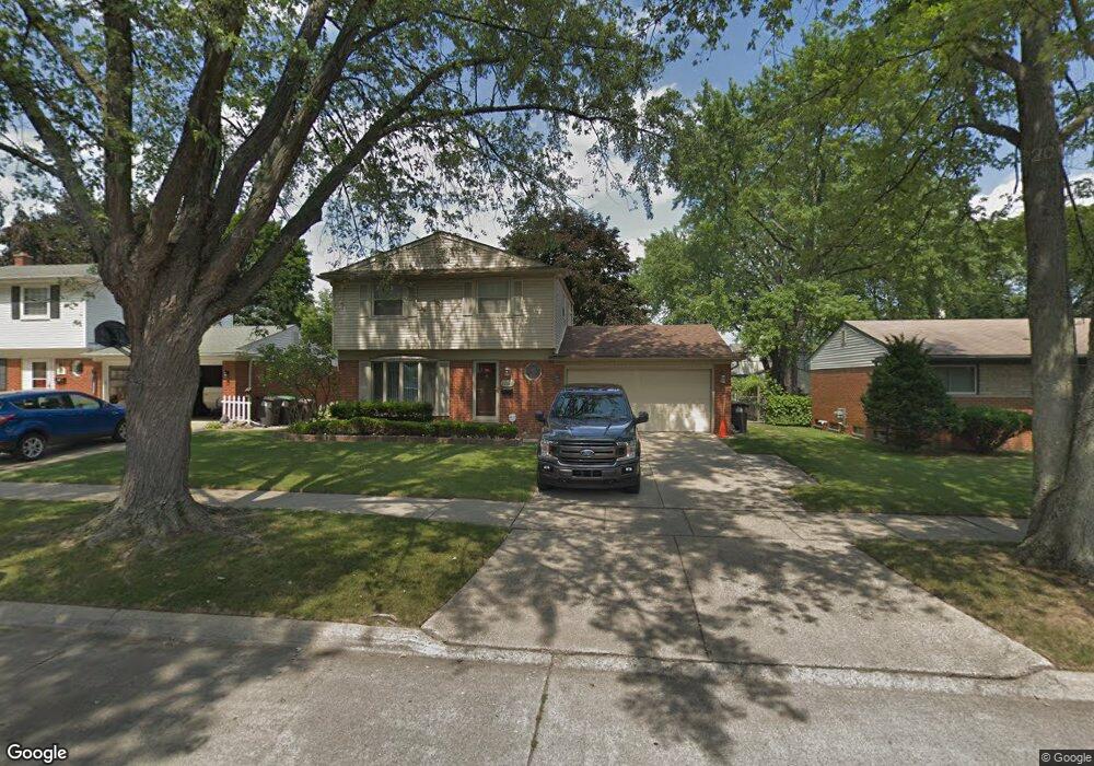
22150 Harmon St Taylor, MI 48180
Estimated Value: $252,000 - $275,000
3
Beds
2
Baths
1,518
Sq Ft
$173/Sq Ft
Est. Value
About This Home
This home is located at 22150 Harmon St, Taylor, MI 48180 and is currently estimated at $261,888, approximately $172 per square foot. 22150 Harmon St is a home located in Wayne County with nearby schools including Kinyon Elementary School, Robert J. West Middle School, and Taylor Preparatory High School.
Ownership History
Date
Name
Owned For
Owner Type
Purchase Details
Closed on
Apr 9, 2008
Sold by
Shellman Brian and Shellman Crystal
Bought by
Federal National Mortgage Association
Current Estimated Value
Purchase Details
Closed on
Sep 29, 2005
Sold by
Sider Janet D and Archibald Pam
Bought by
Shellman Brian
Purchase Details
Closed on
Aug 21, 2003
Sold by
Sider Todd
Bought by
Sider Janet
Purchase Details
Closed on
Dec 14, 2001
Sold by
Guthrie Robert J
Bought by
Guthrie Janet D
Create a Home Valuation Report for This Property
The Home Valuation Report is an in-depth analysis detailing your home's value as well as a comparison with similar homes in the area
Home Values in the Area
Average Home Value in this Area
Purchase History
| Date | Buyer | Sale Price | Title Company |
|---|---|---|---|
| Federal National Mortgage Association | $141,429 | None Available | |
| Shellman Brian | $160,000 | Multiple | |
| Sider Janet | -- | Multiple | |
| Sider Janet | -- | Multiple | |
| Guthrie Janet D | -- | -- |
Source: Public Records
Tax History
| Year | Tax Paid | Tax Assessment Tax Assessment Total Assessment is a certain percentage of the fair market value that is determined by local assessors to be the total taxable value of land and additions on the property. | Land | Improvement |
|---|---|---|---|---|
| 2025 | $3,763 | $118,200 | $0 | $0 |
| 2024 | $3,506 | $111,300 | $0 | $0 |
| 2023 | $3,941 | $100,000 | $0 | $0 |
| 2022 | $3,298 | $89,800 | $0 | $0 |
| 2021 | $3,517 | $81,900 | $0 | $0 |
| 2020 | $3,481 | $73,700 | $0 | $0 |
| 2019 | $346,373 | $62,100 | $0 | $0 |
| 2018 | $2,895 | $52,800 | $0 | $0 |
| 2017 | $1,102 | $49,400 | $0 | $0 |
| 2016 | $3,352 | $48,000 | $0 | $0 |
| 2015 | $4,592 | $46,900 | $0 | $0 |
| 2013 | $4,570 | $47,500 | $0 | $0 |
| 2012 | $2,964 | $46,100 | $12,800 | $33,300 |
Source: Public Records
Map
Nearby Homes
- 22243 Kinyon St Unit 3
- 22243 Kinyon St Unit 1
- 6445 Pardee Rd
- 9942 Lincoln St
- 9883 Roosevelt St
- 22675 Goddard Rd
- 11187 Pardee Rd
- 22155 Maplelawn Ave
- 11119 Dudley St
- 10769 Birch St
- 22150 Haig St
- 9814 Cass Ave
- 9651 Blaty St
- 9640 Dudley St
- 9560 Sylvester St
- 10219 Island Lake Dr
- 23319 Haig St
- 11801 Moran St
- 22311 Wick Rd
- 011 Pine St
- 22138 Harmon St
- 22162 Harmon St
- 22126 Harmon St
- 22149 Kensington St
- 22174 Harmon St
- 22137 Kensington St
- 22161 Kensington St
- 22125 Kensington St
- 22173 Kensington St
- 22114 Harmon St
- 22151 Harmon St
- 22163 Harmon St
- 22139 Harmon St
- 22113 Kensington St
- 22127 Harmon St
- 22175 Harmon St
- 22102 Harmon St
- 22115 Harmon St
- 22101 Kensington St
- 10448 Lincoln St
Your Personal Tour Guide
Ask me questions while you tour the home.