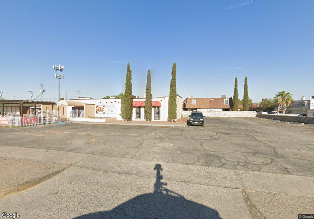
2216 2216 Dr El Paso, TX 79936
Glen Cove NeighborhoodEstimated Value: $266,000 - $292,000
4
Beds
2
Baths
2,085
Sq Ft
$134/Sq Ft
Est. Value
About This Home
This home is located at 2216 2216 Dr, El Paso, TX 79936 and is currently estimated at $278,650, approximately $133 per square foot. 2216 2216 Dr is a home with nearby schools including Glen Cove Elementary School, J.M. Hanks Middle School, and J M Hanks High School.
Ownership History
Date
Name
Owned For
Owner Type
Purchase Details
Closed on
Apr 18, 2016
Sold by
Corral Irene
Bought by
Corral Gabriel G
Current Estimated Value
Purchase Details
Closed on
Oct 1, 1997
Sold by
Morreale Joseph and Morreale Mindo
Bought by
Corral Gabriel G and Corral Irene
Home Financials for this Owner
Home Financials are based on the most recent Mortgage that was taken out on this home.
Original Mortgage
$85,020
Outstanding Balance
$13,444
Interest Rate
7.27%
Mortgage Type
FHA
Estimated Equity
$265,206
Create a Home Valuation Report for This Property
The Home Valuation Report is an in-depth analysis detailing your home's value as well as a comparison with similar homes in the area
Home Values in the Area
Average Home Value in this Area
Purchase History
| Date | Buyer | Sale Price | Title Company |
|---|---|---|---|
| Corral Gabriel G | -- | None Available | |
| Corral Gabriel G | -- | -- |
Source: Public Records
Mortgage History
| Date | Status | Borrower | Loan Amount |
|---|---|---|---|
| Open | Corral Gabriel G | $85,020 |
Source: Public Records
Tax History Compared to Growth
Tax History
| Year | Tax Paid | Tax Assessment Tax Assessment Total Assessment is a certain percentage of the fair market value that is determined by local assessors to be the total taxable value of land and additions on the property. | Land | Improvement |
|---|---|---|---|---|
| 2025 | $3,414 | $212,955 | -- | -- |
| 2024 | $3,414 | $193,595 | -- | -- |
| 2023 | $3,188 | $175,995 | $0 | $0 |
| 2022 | $4,968 | $159,995 | $0 | $0 |
| 2021 | $4,728 | $173,156 | $27,957 | $145,199 |
| 2020 | $4,176 | $132,227 | $24,086 | $108,141 |
| 2018 | $3,994 | $128,430 | $24,086 | $104,344 |
| 2017 | $3,715 | $121,523 | $24,086 | $97,437 |
| 2016 | $3,444 | $112,665 | $24,086 | $88,579 |
| 2015 | $2,721 | $112,665 | $24,086 | $88,579 |
| 2014 | $2,721 | $115,196 | $24,086 | $91,110 |
Source: Public Records
Map
Nearby Homes
- 2604 Anise Dr
- 2308 Tom Watson Ct
- 2348 Sea Side Dr
- 1913 Seagull Dr
- 11013 Bob Stone Dr
- 11008 Johnny Miller Dr
- 11016 Bob Stone Dr
- 11012 Bob Stone Dr
- 1868 Tom Bolt Dr
- 2009 Bobby Jones Dr Unit B
- 11132 Wharf Cove Dr
- 2001 Bobby Jones Dr Unit A
- 11201 Skipper Dr
- 11276 Skipper Dr
- 2825 Wong Place Unit A/D
- 1817 Hugh Royer Place
- 2101 E Glen Dr
- 1901 Bobby Jones Dr
- 2325 Ken Venturi Ln
- 2820 Beachcomber Dr
- 2218 Mermaid Dr
- 2214 Mermaid Dr
- 2221 Sea Side Dr
- 2217 Sea Side Dr
- 2225 Sea Side Dr
- 2220 Mermaid Dr
- 2211 Sea Side Dr
- 2201 Sea Side Dr
- 2205 Mermaid Dr
- 2217 Mermaid Dr
- 2221 Mermaid Dr
- 2209 Mermaid Dr
- 11116 Sea Foam Way
- 11120 Sea Foam Way
- 2220 Sea Side Dr
- 2216 Sea Side Dr
- 11112 Sea Foam Way
- 11124 Sea Foam Way
- 2224 Sea Side Dr
- 2212 Sea Side Dr