2216 Kirvin Rd Mount Pleasant, SC 29466
Estimated Value: $256,000 - $638,000
2
Beds
1
Bath
624
Sq Ft
$715/Sq Ft
Est. Value
About This Home
This home is located at 2216 Kirvin Rd, Mount Pleasant, SC 29466 and is currently estimated at $446,072, approximately $714 per square foot. 2216 Kirvin Rd is a home with nearby schools including Jennie Moore Elementary School, Laing Middle School, and Wando High School.
Ownership History
Date
Name
Owned For
Owner Type
Purchase Details
Closed on
Apr 15, 2016
Sold by
Hughes Daniel S and Hughes Pamela S
Bought by
Sneed James Kevin and Sneed Betty Jo
Current Estimated Value
Home Financials for this Owner
Home Financials are based on the most recent Mortgage that was taken out on this home.
Original Mortgage
$600,000
Outstanding Balance
$476,378
Interest Rate
3.25%
Mortgage Type
Adjustable Rate Mortgage/ARM
Estimated Equity
-$30,306
Purchase Details
Closed on
Apr 9, 2014
Sold by
Hughes Daniel S
Bought by
Hughes Daniel S and Hughes Pamela S
Purchase Details
Closed on
Sep 20, 2010
Sold by
Estate Of Robert Lee Kirvin and Kirvin Jacqueline M
Bought by
Kirvin Jacqueline M
Create a Home Valuation Report for This Property
The Home Valuation Report is an in-depth analysis detailing your home's value as well as a comparison with similar homes in the area
Home Values in the Area
Average Home Value in this Area
Purchase History
| Date | Buyer | Sale Price | Title Company |
|---|---|---|---|
| Sneed James Kevin | $310,000 | -- | |
| Hughes Daniel S | -- | -- | |
| Kirvin Jacqueline M | -- | -- |
Source: Public Records
Mortgage History
| Date | Status | Borrower | Loan Amount |
|---|---|---|---|
| Open | Sneed James Kevin | $600,000 |
Source: Public Records
Tax History Compared to Growth
Tax History
| Year | Tax Paid | Tax Assessment Tax Assessment Total Assessment is a certain percentage of the fair market value that is determined by local assessors to be the total taxable value of land and additions on the property. | Land | Improvement |
|---|---|---|---|---|
| 2024 | $333 | $2,690 | $0 | $0 |
| 2023 | $333 | $2,690 | $0 | $0 |
| 2022 | $319 | $2,690 | $0 | $0 |
| 2021 | $334 | $2,690 | $0 | $0 |
| 2020 | $342 | $2,690 | $0 | $0 |
| 2019 | $587 | $4,990 | $0 | $0 |
| 2017 | $1,534 | $6,010 | $0 | $0 |
| 2016 | $697 | $2,400 | $0 | $0 |
| 2015 | $1,199 | $2,400 | $0 | $0 |
| 2014 | $253 | $0 | $0 | $0 |
| 2011 | -- | $0 | $0 | $0 |
Source: Public Records
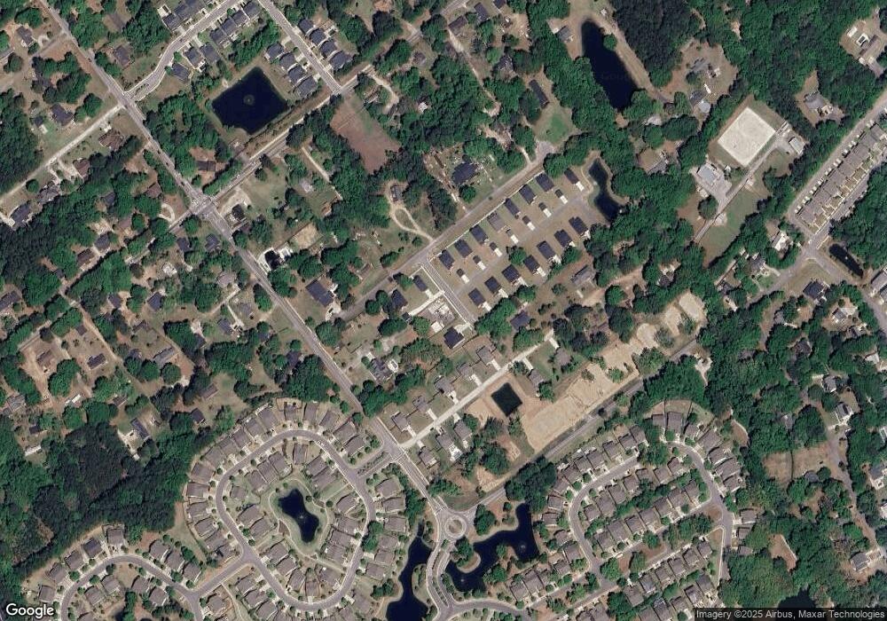
Map
Nearby Homes
- 3116 Sandy Pearl Way
- 3104 Sandy Pearl Way
- 0 Rifle Range Rd Unit (Lot 2)
- 0 Rifle Range Rd Unit (Lot 1)
- 2242 Dewees Creek Dr
- 1750 Cultivation Ln
- 2336 Minifarm Way Unit 507
- 2284 Minifarm Way
- 2336 Minifarm Way
- 2276 Minifarm Way
- 1509 W Palmetto Fort Dr
- 1515 N Lakeshore Dr
- 2130 Oyster Reef Ln
- 1494 N Lakeshore Dr
- 0 N Rifle Range Rd Unit (Lot 1 & 2)
- 0 N Rifle Range Rd Unit 24028206
- Wando Plan at Liberty Hill Farm
- Hamlin Plan at Liberty Hill Farm
- Capers Plan at Liberty Hill Farm
- Copahee Plan at Liberty Hill Farm
- 1440 Kirvin Rd
- 3108 Sandy Pearl Way
- 2212 David Green Rd
- 2214 David Green Rd
- 2218 David Green Rd
- 3825 Cracked Shell Ln
- 2210 David Green Rd
- 0 John Ballam Rd
- 3507 Welks Way
- 2234 David Green Rd
- 2206 David Green Rd
- 1438 Six Mile Rd
- 2202 David Green Rd
- 2219 David Green Rd
- 2211 David Green Rd
- 2207 David Green Rd
- 2229 David Green Rd
- 1420 Six Mile Rd
- 2223 David Green Rd
- 1430 Mcmanus Rd