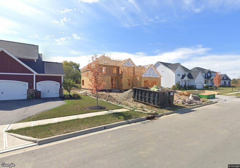
2216 Koester Trace Lewis Center, OH 43035
Orange NeighborhoodEstimated Value: $813,397 - $957,000
4
Beds
4
Baths
3,620
Sq Ft
$239/Sq Ft
Est. Value
About This Home
This home is located at 2216 Koester Trace, Lewis Center, OH 43035 and is currently estimated at $864,599, approximately $238 per square foot. 2216 Koester Trace is a home with nearby schools including Arrowhead Elementary School, Olentangy Shanahan Middle School, and Olentangy High School.
Ownership History
Date
Name
Owned For
Owner Type
Purchase Details
Closed on
Jan 24, 2019
Sold by
Jones Lewis Center Llc
Bought by
Pokala Sai Charan and Vanaparthi Manasa
Current Estimated Value
Home Financials for this Owner
Home Financials are based on the most recent Mortgage that was taken out on this home.
Original Mortgage
$72,000
Outstanding Balance
$46,550
Interest Rate
4.75%
Mortgage Type
Adjustable Rate Mortgage/ARM
Estimated Equity
$818,049
Create a Home Valuation Report for This Property
The Home Valuation Report is an in-depth analysis detailing your home's value as well as a comparison with similar homes in the area
Home Values in the Area
Average Home Value in this Area
Purchase History
| Date | Buyer | Sale Price | Title Company |
|---|---|---|---|
| Pokala Sai Charan | $96,000 | None Available |
Source: Public Records
Mortgage History
| Date | Status | Borrower | Loan Amount |
|---|---|---|---|
| Open | Pokala Sai Charan | $72,000 |
Source: Public Records
Tax History Compared to Growth
Tax History
| Year | Tax Paid | Tax Assessment Tax Assessment Total Assessment is a certain percentage of the fair market value that is determined by local assessors to be the total taxable value of land and additions on the property. | Land | Improvement |
|---|---|---|---|---|
| 2024 | $13,570 | $236,110 | $47,250 | $188,860 |
| 2023 | $13,619 | $236,110 | $47,250 | $188,860 |
| 2022 | $14,509 | $204,760 | $43,020 | $161,740 |
| 2021 | $14,592 | $204,760 | $43,020 | $161,740 |
| 2020 | $8,387 | $115,510 | $43,020 | $72,490 |
| 2019 | $2,513 | $33,080 | $33,080 | $0 |
| 2018 | $2,523 | $33,080 | $33,080 | $0 |
| 2017 | $2,500 | $26,780 | $26,780 | $0 |
| 2016 | $1,949 | $26,780 | $26,780 | $0 |
| 2015 | $340 | $5,110 | $5,110 | $0 |
Source: Public Records
Map
Nearby Homes
- 2241 Red Oak St
- 5737 Butternut Dr
- 2070 Alum Village Dr
- 5766 Hickory Dr
- 5672 Evans Farm Dr
- 5450 Maple Dr
- 5390 Maple Dr
- 5566 Evans Farm Dr
- 1940 Linden St
- 5491 Sandy Dr
- 5618 Hickory Dr
- 5639 Piatt Rd
- 5599 Piatt Rd
- 5105 Maple Dr
- 5535 Piatt Rd
- 1956 Leopold Dr
- 2868 Lewis Center Rd
- Charlotte Plan at Evans Farm - The Villas at Evans Farm
- Ellie Plan at Evans Farm - The Villas at Evans Farm
- Borowiak Residence Plan at Evans Farm - The Villas at Evans Farm
- 2230 Koester Trace
- 2198 Koester Trace
- 2246 Koester Trace
- 2182 Koester Trace
- 2235 Koester Trace
- 2147 Koester Trace
- 2262 Koester Trace
- 2251 Koester Trace
- 2166 Koester Trace
- 2131 Koester Trace
- 2278 Koester Trace
- 2267 Koester Trace
- 2150 Koester Trace
- 2160 Lewis Center Rd
- 5716 Joab St
- 2294 Koester Trace
- 2115 Koester Trace
- 2134 Koester Trace
- 2200 Lewis Center Rd
- 2118 Koester Trace