Estimated Value: $589,000 - $646,000
3
Beds
3
Baths
3,342
Sq Ft
$183/Sq Ft
Est. Value
About This Home
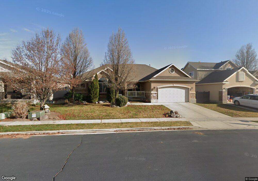
This home is located at 2216 N 2500 W, Lehi, UT 84043 and is currently estimated at $612,685, approximately $183 per square foot. 2216 N 2500 W is a home located in Utah County with nearby schools including Liberty Hills Elementary School, Skyridge High School, and Ascent Academies of Utah - Lehi Campus.
Ownership History
Date
Name
Owned For
Owner Type
Purchase Details
Closed on
Dec 17, 2010
Sold by
Llewellyn Jason D and Llewellyn Krista
Bought by
Madsen Christian P and Madsen Danielle
Current Estimated Value
Home Financials for this Owner
Home Financials are based on the most recent Mortgage that was taken out on this home.
Original Mortgage
$231,877
Outstanding Balance
$153,430
Interest Rate
4.25%
Mortgage Type
FHA
Estimated Equity
$459,255
Purchase Details
Closed on
Apr 27, 2007
Sold by
Ivory Homes Ltd
Bought by
Llewellyn Jason D and Llewellyn Krista
Home Financials for this Owner
Home Financials are based on the most recent Mortgage that was taken out on this home.
Original Mortgage
$343,544
Interest Rate
6.11%
Mortgage Type
VA
Create a Home Valuation Report for This Property
The Home Valuation Report is an in-depth analysis detailing your home's value as well as a comparison with similar homes in the area
Home Values in the Area
Average Home Value in this Area
Purchase History
| Date | Buyer | Sale Price | Title Company |
|---|---|---|---|
| Madsen Christian P | -- | Affiliated First Title Comp | |
| Llewellyn Jason D | -- | Cottonwood Title | |
| Ivory Homes Ltd | -- | Cottonwood Title |
Source: Public Records
Mortgage History
| Date | Status | Borrower | Loan Amount |
|---|---|---|---|
| Open | Madsen Christian P | $231,877 | |
| Previous Owner | Llewellyn Jason D | $343,544 |
Source: Public Records
Tax History Compared to Growth
Tax History
| Year | Tax Paid | Tax Assessment Tax Assessment Total Assessment is a certain percentage of the fair market value that is determined by local assessors to be the total taxable value of land and additions on the property. | Land | Improvement |
|---|---|---|---|---|
| 2025 | $2,478 | $303,325 | $220,100 | $331,400 |
| 2024 | $2,478 | $289,960 | $0 | $0 |
| 2023 | $2,327 | $295,735 | $0 | $0 |
| 2022 | $2,380 | $293,205 | $0 | $0 |
| 2021 | $2,125 | $395,800 | $127,400 | $268,400 |
| 2020 | $2,003 | $368,800 | $118,000 | $250,800 |
| 2019 | $1,837 | $351,600 | $118,000 | $233,600 |
| 2018 | $1,738 | $314,400 | $111,300 | $203,100 |
| 2017 | $1,701 | $163,625 | $0 | $0 |
| 2016 | $1,694 | $151,140 | $0 | $0 |
| 2015 | $1,573 | $133,265 | $0 | $0 |
| 2014 | $1,531 | $128,920 | $0 | $0 |
Source: Public Records
Map
Nearby Homes
- 2464 W 2250 N
- 2189 N 2600 W
- 2196 N 2350 W
- Huntington Plan at Pioneer Meadows
- Silver Lake Plan at Pioneer Meadows
- Summit Plan at Pioneer Meadows
- Palisade Plan at Pioneer Meadows
- 1968 N 2040 W Unit 40
- 1969 N 2040 St W
- 2013 N 2040 W
- 1990 N 2040 W
- 1990 N 2040 W Unit 41
- 1970 N 2090 St W
- 1854 N 2230 W
- 1842 N 2230 W
- 1870 N 2230 W
- 1870 N 2230 W Unit 23
- 1896 N 2230 W
- 1908 N 2230 W
- 1832 N 2230 W