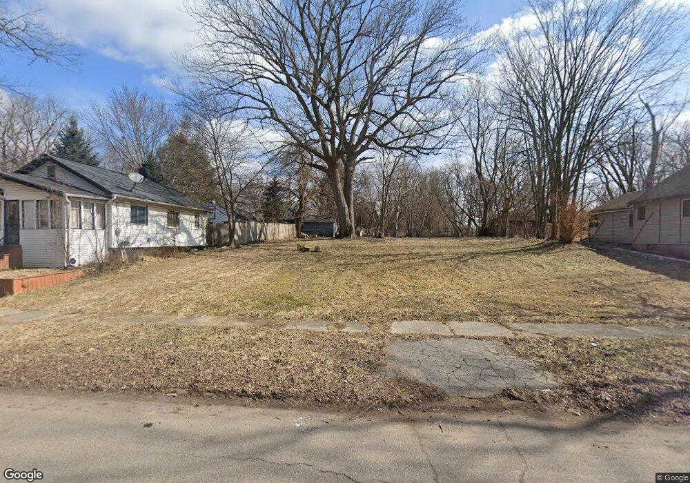
2216 N Vernon Ave Flint, MI 48506
Eastside NeighborhoodEstimated Value: $20,507 - $99,000
2
Beds
1
Bath
544
Sq Ft
$103/Sq Ft
Est. Value
About This Home
This home is located at 2216 N Vernon Ave, Flint, MI 48506 and is currently estimated at $56,169, approximately $103 per square foot. 2216 N Vernon Ave is a home located in Genesee County with nearby schools including Potter School, Flint Cultural Center Academy, and Richfield Public School Academy.
Ownership History
Date
Name
Owned For
Owner Type
Purchase Details
Closed on
Dec 20, 2016
Sold by
Cherry Deborah L
Bought by
Genesse County Land Bank
Current Estimated Value
Purchase Details
Closed on
Nov 29, 2011
Sold by
Annan Andromena
Bought by
Metrix Capital Group Llc
Purchase Details
Closed on
Nov 14, 2011
Sold by
Genesee County Treasurer
Bought by
Annan Andromeda
Purchase Details
Closed on
Oct 17, 2008
Sold by
Swadling Larry D and Swadling Corrine
Bought by
Ruddy Richard J and Ruddy Mary L
Purchase Details
Closed on
Apr 21, 1998
Sold by
Gorman Leonard and Gorman Janet M
Bought by
Ruddy Richard J and Ruddy Mary L
Create a Home Valuation Report for This Property
The Home Valuation Report is an in-depth analysis detailing your home's value as well as a comparison with similar homes in the area
Home Values in the Area
Average Home Value in this Area
Purchase History
| Date | Buyer | Sale Price | Title Company |
|---|---|---|---|
| Genesse County Land Bank | -- | None Available | |
| Metrix Capital Group Llc | $305 | None Available | |
| Annan Andromeda | -- | None Available | |
| Ruddy Richard J | -- | General Title & Abstract Co | |
| Ruddy Richard J | $10,000 | None Available | |
| Ruddy Richard J | -- | General Title & Abstract Co |
Source: Public Records
Tax History Compared to Growth
Tax History
| Year | Tax Paid | Tax Assessment Tax Assessment Total Assessment is a certain percentage of the fair market value that is determined by local assessors to be the total taxable value of land and additions on the property. | Land | Improvement |
|---|---|---|---|---|
| 2025 | -- | $0 | $0 | $0 |
| 2024 | -- | $0 | $0 | $0 |
| 2023 | -- | $0 | $0 | $0 |
| 2022 | $0 | $0 | $0 | $0 |
| 2021 | $0 | $0 | $0 | $0 |
| 2020 | $0 | $0 | $0 | $0 |
| 2019 | $380 | $0 | $0 | $0 |
| 2018 | $221 | $0 | $0 | $0 |
| 2017 | $221 | $0 | $0 | $0 |
| 2016 | $380 | $0 | $0 | $0 |
| 2015 | $0 | $0 | $0 | $0 |
| 2014 | -- | $0 | $0 | $0 |
| 2012 | -- | $3,200 | $0 | $0 |
Source: Public Records
Map
Nearby Homes
- 2225 Arlington Ave
- 2506 Arlington Ave
- 1814 Mabel Ave
- 1805 Bennett Ave
- 2426 Hoff St
- 2211 Torrance St
- 1721 New York Ave
- 1622 Arlington Ave
- 1510 N Vernon Ave
- 1622 New York Ave
- 1629 New York Ave
- 1501 Arlington Ave
- 1733 Oklahoma Ave
- 1529 Broadway Blvd
- 2301 Missouri Ave
- 1513 Jane Ave
- 1318 Cronk Ave
- 2610 Pennsylvania Ave
- 1805 Montana Ave
- 2426 Missouri Ave
- 2300 N Vernon Ave
- 2214 N Vernon Ave
- 2304 N Vernon Ave
- 2208 N Vernon Ave
- 2308 N Vernon Ave
- 2219 Burns St
- 2301 Burns St
- 2305 Burns St
- 2312 N Vernon Ave
- 2311 Burns St
- 2200 N Vernon Ave
- 2205 Burns St
- 2221 N Vernon Ave
- 2301 N Vernon Ave
- 2217 N Vernon Ave
- 2315 Burns St
- 2305 N Vernon Ave
- 2316 N Vernon Ave
- 2209 N Vernon Ave
- 2319 Burns St