2216 Olson Rd Point Roberts, WA 98281
Estimated Value: $352,000 - $500,000
2
Beds
1
Bath
1,341
Sq Ft
$299/Sq Ft
Est. Value
About This Home
This home is located at 2216 Olson Rd, Point Roberts, WA 98281 and is currently estimated at $400,515, approximately $298 per square foot. 2216 Olson Rd is a home located in Whatcom County with nearby schools including Point Roberts Primary School, Blaine Middle School, and Blaine High School.
Ownership History
Date
Name
Owned For
Owner Type
Purchase Details
Closed on
Sep 8, 2004
Sold by
Starink Glenna Lorraine and Warnes Glenna L
Bought by
Thompson Christopher
Current Estimated Value
Home Financials for this Owner
Home Financials are based on the most recent Mortgage that was taken out on this home.
Original Mortgage
$102,800
Outstanding Balance
$49,577
Interest Rate
5.8%
Mortgage Type
Purchase Money Mortgage
Estimated Equity
$350,938
Purchase Details
Closed on
Apr 24, 2004
Sold by
Hogg Maynard
Bought by
Starink Glenna Lorraine
Create a Home Valuation Report for This Property
The Home Valuation Report is an in-depth analysis detailing your home's value as well as a comparison with similar homes in the area
Home Values in the Area
Average Home Value in this Area
Purchase History
| Date | Buyer | Sale Price | Title Company |
|---|---|---|---|
| Thompson Christopher | $128,500 | Whatcom Land Title | |
| Starink Glenna Lorraine | -- | -- |
Source: Public Records
Mortgage History
| Date | Status | Borrower | Loan Amount |
|---|---|---|---|
| Open | Thompson Christopher | $102,800 |
Source: Public Records
Tax History
| Year | Tax Paid | Tax Assessment Tax Assessment Total Assessment is a certain percentage of the fair market value that is determined by local assessors to be the total taxable value of land and additions on the property. | Land | Improvement |
|---|---|---|---|---|
| 2025 | $2,607 | $313,593 | $121,650 | $191,943 |
| 2024 | $2,509 | $310,484 | $120,450 | $190,034 |
| 2023 | $2,509 | $299,534 | $109,500 | $190,034 |
| 2022 | $2,553 | $272,547 | $99,000 | $173,547 |
| 2021 | $2,543 | $254,232 | $77,581 | $176,651 |
| 2020 | $2,532 | $235,397 | $71,833 | $163,564 |
| 2019 | $2,349 | $225,798 | $68,904 | $156,894 |
| 2018 | $2,234 | $202,990 | $61,944 | $141,046 |
| 2017 | $1,937 | $193,867 | $59,160 | $134,707 |
| 2016 | $2,038 | $190,066 | $58,000 | $132,066 |
| 2015 | $2,168 | $194,492 | $56,034 | $138,458 |
| 2014 | -- | $203,325 | $58,580 | $144,745 |
| 2013 | -- | $194,387 | $56,260 | $138,127 |
Source: Public Records
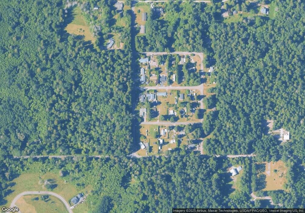
Map
Nearby Homes
- 2202 Seabright Loop
- 58 Seabright Loop
- 6 Weasel Run Rd
- 2242 Seabright Loop
- 2045 Apa Rd
- 0 Deer Rd
- 2138 Benson Rd
- 1940 Apa Rd
- 661 Driftwood Ln
- 251 Elizabeth Dr
- 1881 Edwards Dr
- 1920 Patos Way
- 103 Goodman Rd
- 0 15 Whalen Dr
- 19 Whalen Dr
- 1774 Centennial Place
- 0 3 73 Acres Derby Ave
- 1871 Johnson Rd
- 1 Mill Rd
- 2 Mill Rd
- 2215 Williams Rd
- 2227 Williams Rd
- 574 Boundary Bay Rd
- 2230 Williams Rd
- 2226 Olson Rd
- 2225 Olson Rd
- 2220 Williams Rd
- 2228 Williams Rd
- 548 Boundary Bay Rd
- 2227 Olson Rd
- 542 Boundary Bay Rd
- 2210 Apa Rd
- 2215 Ross Rd
- 2230 Apa Rd
- 541 Mclaren Rd
- 2233 Ross Rd
- 2209 Ross Rd
- 2242 Apa Rd
- 574 Mclaren Rd
- 548 Mclaren Rd
Your Personal Tour Guide
Ask me questions while you tour the home.