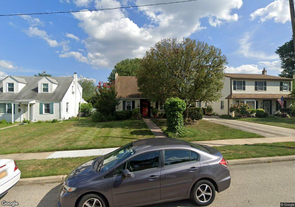
2216 Pershing Ave Morton, PA 19070
Estimated Value: $315,000 - $358,000
3
Beds
1
Bath
1,218
Sq Ft
$273/Sq Ft
Est. Value
About This Home
This home is located at 2216 Pershing Ave, Morton, PA 19070 and is currently estimated at $332,454, approximately $272 per square foot. 2216 Pershing Ave is a home located in Delaware County with nearby schools including Amosland El School, Ridley Middle School, and Ridley High School.
Ownership History
Date
Name
Owned For
Owner Type
Purchase Details
Closed on
Nov 28, 2005
Sold by
Hunt William H and Hunt Ermalena Smith
Bought by
Hunt William Henry and Hunt Ermalena Smith
Current Estimated Value
Purchase Details
Closed on
Apr 19, 1994
Sold by
Matty Robert M and Matty Ann
Bought by
Hunt William H and Smith Ermalena G
Home Financials for this Owner
Home Financials are based on the most recent Mortgage that was taken out on this home.
Original Mortgage
$124,387
Interest Rate
7.6%
Mortgage Type
FHA
Create a Home Valuation Report for This Property
The Home Valuation Report is an in-depth analysis detailing your home's value as well as a comparison with similar homes in the area
Home Values in the Area
Average Home Value in this Area
Purchase History
| Date | Buyer | Sale Price | Title Company |
|---|---|---|---|
| Hunt William Henry | -- | None Available | |
| Hunt William H | $125,000 | -- |
Source: Public Records
Mortgage History
| Date | Status | Borrower | Loan Amount |
|---|---|---|---|
| Closed | Hunt William H | $124,387 |
Source: Public Records
Tax History
| Year | Tax Paid | Tax Assessment Tax Assessment Total Assessment is a certain percentage of the fair market value that is determined by local assessors to be the total taxable value of land and additions on the property. | Land | Improvement |
|---|---|---|---|---|
| 2025 | $6,083 | $175,180 | $70,630 | $104,550 |
| 2024 | $6,083 | $175,180 | $70,630 | $104,550 |
| 2023 | $5,818 | $175,180 | $70,630 | $104,550 |
| 2022 | $5,631 | $175,180 | $70,630 | $104,550 |
| 2021 | $8,717 | $175,180 | $70,630 | $104,550 |
| 2020 | $5,798 | $102,630 | $35,980 | $66,650 |
| 2019 | $5,692 | $102,630 | $35,980 | $66,650 |
| 2018 | $5,621 | $102,630 | $0 | $0 |
| 2017 | $5,621 | $102,630 | $0 | $0 |
| 2016 | $563 | $102,630 | $0 | $0 |
| 2015 | $575 | $102,630 | $0 | $0 |
| 2014 | $563 | $102,630 | $0 | $0 |
Source: Public Records
Map
Nearby Homes
- 2143 Haig Ave
- 846 Bobwhite Ln
- 2158 6th Ave
- 880 Quaint St
- 720 Kedron Ave
- 21 Faraday Ct
- 2379 Mole Rd
- 202-203 Sycamore Ave
- 804 South Ave Unit D7
- 1015 Mitchell Ave
- 363 Holmes Rd
- 361 Cedar Ave
- 363 Hutchinson Terrace
- 7 & 0 Woodland Ave
- 2 Yale Ave
- 111 Broad St
- 216-218 President Ave
- 826 South Ave Unit R8
- 507 School St
- 201 W Sylvan Ave
- 2218 Pershing Ave
- 2214 Pershing Ave
- 2220 Pershing Ave
- 2212 Pershing Ave
- 729 Brooke Cir
- 727 Brooke Cir
- 725 Brooke Cir
- 731 Brooke Cir
- 2210 Pershing Ave
- 733 Brooke Cir
- 723 Brooke Cir
- 2222 Pershing Ave
- 2217 Pershing Ave
- 2224 Pershing Ave
- 2215 Pershing Ave
- 2219 Pershing Ave
- 2208 Pershing Ave
- 2221 Pershing Ave
- 2213 Pershing Ave
- 735 Brooke Cir
Your Personal Tour Guide
Ask me questions while you tour the home.