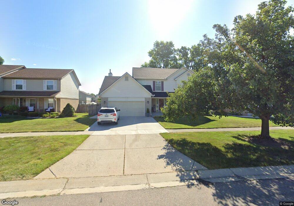
22161 Sylvan Ave Unit 4 Flat Rock, MI 48134
Estimated Value: $376,977 - $443,000
3
Beds
3
Baths
1,982
Sq Ft
$203/Sq Ft
Est. Value
About This Home
This home is located at 22161 Sylvan Ave Unit 4, Flat Rock, MI 48134 and is currently estimated at $403,244, approximately $203 per square foot. 22161 Sylvan Ave Unit 4 is a home located in Wayne County with nearby schools including Bates Elementary School, Brownstown Middle School, and Patrick Henry Middle School.
Ownership History
Date
Name
Owned For
Owner Type
Purchase Details
Closed on
Aug 29, 2017
Sold by
Vu Coc
Bought by
Vu Dung
Current Estimated Value
Purchase Details
Closed on
May 5, 2010
Sold by
Owens Mark J and Owens Sandra
Bought by
Federal Home Loan Mortgage Corp
Purchase Details
Closed on
Jan 18, 2010
Sold by
Owens Sandra
Bought by
Owens Mark
Purchase Details
Closed on
Jul 31, 1998
Sold by
Htg Llc
Bought by
Owens Mark
Create a Home Valuation Report for This Property
The Home Valuation Report is an in-depth analysis detailing your home's value as well as a comparison with similar homes in the area
Home Values in the Area
Average Home Value in this Area
Purchase History
| Date | Buyer | Sale Price | Title Company |
|---|---|---|---|
| Vu Dung | -- | None Available | |
| Federal Home Loan Mortgage Corp | $194,704 | None Available | |
| Owens Mark | -- | Minnesota Title Agency | |
| Owens Mark | $40,000 | -- |
Source: Public Records
Tax History Compared to Growth
Tax History
| Year | Tax Paid | Tax Assessment Tax Assessment Total Assessment is a certain percentage of the fair market value that is determined by local assessors to be the total taxable value of land and additions on the property. | Land | Improvement |
|---|---|---|---|---|
| 2025 | $2,290 | $169,700 | $0 | $0 |
| 2024 | $2,290 | $153,200 | $0 | $0 |
| 2023 | $2,184 | $140,400 | $0 | $0 |
| 2022 | $4,004 | $119,200 | $0 | $0 |
| 2021 | $3,553 | $115,400 | $0 | $0 |
| 2020 | $3,501 | $109,300 | $0 | $0 |
| 2019 | $3,373 | $105,900 | $0 | $0 |
| 2018 | $1,768 | $98,900 | $0 | $0 |
| 2017 | $3,089 | $98,000 | $0 | $0 |
| 2016 | $3,250 | $94,100 | $0 | $0 |
| 2015 | $6,751 | $88,300 | $0 | $0 |
| 2013 | $6,540 | $68,400 | $0 | $0 |
| 2012 | -- | $72,900 | $17,500 | $55,400 |
Source: Public Records
Map
Nearby Homes
- 24700 West Rd
- 22701 Beech Daly Rd
- 00 Liddle St
- 23721 W Lake Cir Unit 14
- 23617 Cora St
- 23676 Lori Dr
- 25247 Warren Dr
- 23869 McCort Dr Unit 68
- 23607 Telegraph Rd
- 23851 Andrew Blvd
- 25860 Brighton Ln
- 24098 Konarska Dr Unit 20
- 23313 Stromp Ct Unit 16
- 00 West Rd
- 23348 Redman Ct Unit 22
- 20869 Prairie Creek Blvd
- 24436 Mount Olive Dr
- 23264 Oakleigh Ave
- 26855 King Rd
- Argonne Ave 8.8 Acre Argonne Ave
- 22191 Sylvan Ave Unit 3
- 22221 Sylvan Ave
- 22131 Sylvan Ave
- 24972 Mahogany Dr Unit 80
- 22174 Sherwood Ln
- 22152 Sherwood Ln
- 25002 Mahogany Dr Unit 81
- 22101 Sylvan Ave
- 22196 Sherwood Ln
- 22130 Sherwood Ln
- 22218 Sherwood Ln
- 22108 Sherwood Ln
- 22071 Sylvan Ave Unit 7
- 24973 Weeping Willow Dr
- 22240 Sherwood Ln
- 22086 Sherwood Ln
- 25032 Mahogany Dr Unit 82
- 25003 Weeping Willow Dr
- 25033 Weeping Willow Dr
- 22040 Sylvan Ave