Estimated Value: $91,502 - $125,000
3
Beds
1
Bath
1,028
Sq Ft
$107/Sq Ft
Est. Value
About This Home
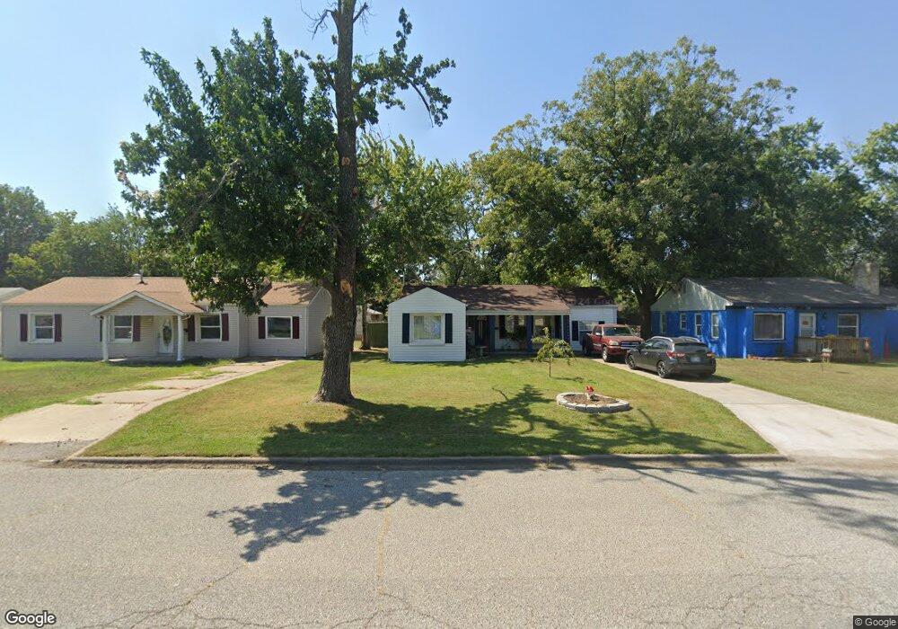
This home is located at 2217 C St NE, Miami, OK 74354 and is currently estimated at $109,876, approximately $106 per square foot. 2217 C St NE is a home located in Ottawa County with nearby schools including Miami High School and Mt. Olive Lutheran School.
Ownership History
Date
Name
Owned For
Owner Type
Purchase Details
Closed on
Jan 12, 2023
Sold by
Chomba Kristi and Chomba Erastus
Bought by
Wilson Norman Dale and Wilson Susan Diane
Current Estimated Value
Purchase Details
Closed on
Nov 9, 2015
Sold by
Lamb David R
Bought by
Wells Fargo Bank Na
Purchase Details
Closed on
Jun 26, 2003
Bought by
Lamb David
Purchase Details
Closed on
Apr 22, 1999
Bought by
Buckner Donald and Buckner Donna
Purchase Details
Closed on
Nov 12, 1996
Bought by
Cordell Joseph E
Create a Home Valuation Report for This Property
The Home Valuation Report is an in-depth analysis detailing your home's value as well as a comparison with similar homes in the area
Home Values in the Area
Average Home Value in this Area
Purchase History
| Date | Buyer | Sale Price | Title Company |
|---|---|---|---|
| Wilson Norman Dale | $50,000 | -- | |
| Wells Fargo Bank Na | $95,000 | None Available | |
| Lamb David | $39,000 | -- | |
| Buckner Donald | $27,000 | -- | |
| Cordell Joseph E | $20,000 | -- |
Source: Public Records
Tax History Compared to Growth
Tax History
| Year | Tax Paid | Tax Assessment Tax Assessment Total Assessment is a certain percentage of the fair market value that is determined by local assessors to be the total taxable value of land and additions on the property. | Land | Improvement |
|---|---|---|---|---|
| 2025 | $562 | $5,472 | $342 | $5,130 |
| 2024 | $562 | $5,826 | $342 | $5,484 |
| 2023 | $562 | $4,784 | $342 | $4,442 |
| 2022 | $421 | $4,556 | $342 | $4,214 |
| 2021 | $410 | $4,339 | $342 | $3,997 |
| 2020 | $394 | $4,133 | $342 | $3,791 |
| 2019 | $323 | $3,936 | $342 | $3,594 |
| 2018 | $325 | $3,936 | $342 | $3,594 |
| 2017 | $331 | $3,936 | $342 | $3,594 |
| 2016 | $326 | $4,060 | $342 | $3,718 |
| 2015 | $339 | $3,818 | $344 | $3,474 |
| 2014 | $298 | $3,636 | $342 | $3,294 |
Source: Public Records
Map
Nearby Homes
- 2220 B St NE
- 1916 A St NE
- 1839 D St NE
- 1821 C St NE
- 1644 D St NE
- 2101 Birnamwood Dr
- 1934 Birnamwood Dr
- 1300 Maple Dr
- 1525 N Main St
- 2405 Molly Ln
- 1902 G St NW
- 1408 Morgan Cir
- 1611 Woodlawn Dr
- 1311 Park Heights St
- 1209 B St NW
- 416 Admiral Trussler Blvd
- 2425 Birch Ct
- 411 E Bj Tunnell Blvd
- 935 Pine St
- 706 Coyne St