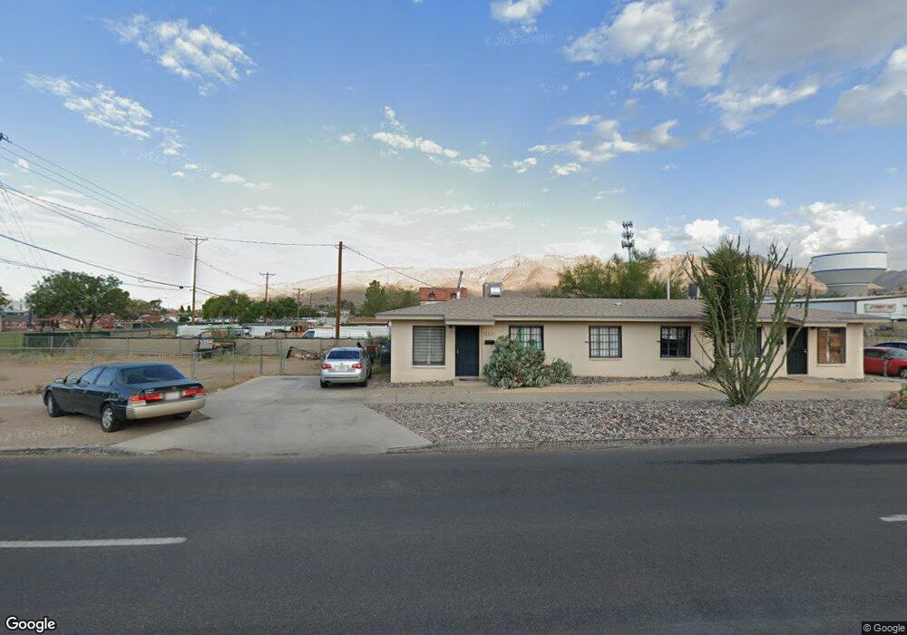
2217 Gateway Blvd S Unit 2219 El Paso, TX 79903
Five Points NeighborhoodEstimated Value: $141,875 - $327,000
--
Bed
2
Baths
1,632
Sq Ft
$131/Sq Ft
Est. Value
About This Home
This home is located at 2217 Gateway Blvd S Unit 2219, El Paso, TX 79903 and is currently estimated at $214,219, approximately $131 per square foot. 2217 Gateway Blvd S Unit 2219 is a home located in El Paso County with nearby schools including Coldwell Elementary School, Armendariz Middle School, and Middle School-5 NW Middle.
Ownership History
Date
Name
Owned For
Owner Type
Purchase Details
Closed on
Jan 31, 2007
Sold by
Chavez Martha Alice Lucero and Lucero Raymond Ernest
Bought by
Perez Michael R and Perez Kristin Lee
Current Estimated Value
Home Financials for this Owner
Home Financials are based on the most recent Mortgage that was taken out on this home.
Original Mortgage
$65,000
Outstanding Balance
$7,677
Interest Rate
6.19%
Mortgage Type
Purchase Money Mortgage
Estimated Equity
$206,542
Create a Home Valuation Report for This Property
The Home Valuation Report is an in-depth analysis detailing your home's value as well as a comparison with similar homes in the area
Home Values in the Area
Average Home Value in this Area
Purchase History
| Date | Buyer | Sale Price | Title Company |
|---|---|---|---|
| Perez Michael R | -- | None Available |
Source: Public Records
Mortgage History
| Date | Status | Borrower | Loan Amount |
|---|---|---|---|
| Open | Perez Michael R | $65,000 |
Source: Public Records
Tax History Compared to Growth
Tax History
| Year | Tax Paid | Tax Assessment Tax Assessment Total Assessment is a certain percentage of the fair market value that is determined by local assessors to be the total taxable value of land and additions on the property. | Land | Improvement |
|---|---|---|---|---|
| 2025 | $3,194 | $147,681 | $30,450 | $117,231 |
| 2024 | $3,194 | $147,681 | $30,450 | $117,231 |
| 2023 | $2,837 | $102,550 | $19,520 | $83,030 |
| 2022 | $3,036 | $102,550 | $19,520 | $83,030 |
| 2021 | $2,590 | $82,968 | $19,520 | $63,448 |
| 2020 | $2,435 | $79,214 | $15,015 | $64,199 |
| 2018 | $2,345 | $79,214 | $15,015 | $64,199 |
| 2017 | $2,196 | $77,961 | $15,015 | $62,946 |
| 2016 | $2,196 | $77,961 | $15,015 | $62,946 |
| 2015 | $2,133 | $77,961 | $15,015 | $62,946 |
| 2014 | $2,133 | $77,961 | $15,015 | $62,946 |
Source: Public Records
Map
Nearby Homes
- 2518 Partello St
- 3817 Frankfort Ave
- 3816 Hastings Dr
- 3905 Nashville Ave
- 4122 Cumberland Ave
- 4504 Nashville Ave
- 3919 Cumberland Ave
- 3921 Mobile Ave
- 4405 Cumberland Ave
- 19 Cumberland Cir
- 4327 Chester Ave
- 4620 Frankfort Ave
- 3625 Richmond Ave
- 4325 Oxford Ave
- 4308 Oxford Ave
- 4000 Oxford Ave
- 4101 Trowbridge Dr
- 4420 Oxford Ave
- 4711 Chesterfield Ave
- 3827 Idalia Ave
- 4128 Leeds Ave
- 4126 Leeds Ave
- 4118 Leeds Ave
- 4116 Leeds Ave
- 4110 Leeds Ave
- 4106 Leeds Ave
- 4106 Leeds Ave
- 4130 Frankfort Ave
- 4126 Frankfort Ave
- 4100 Leeds Ave
- 4122 Frankfort Ave
- 4118 Frankfort Ave
- 4228 Frankfort Ave
- 4100 Frankfort Ave
- 4131 Frankfort Ave
- 4131 Frankfort Ave Unit 1
- 4121 Frankfort Ave
- 4117 Frankfort Ave
- 4115 Frankfort Ave
- 4111 Frankfort Ave