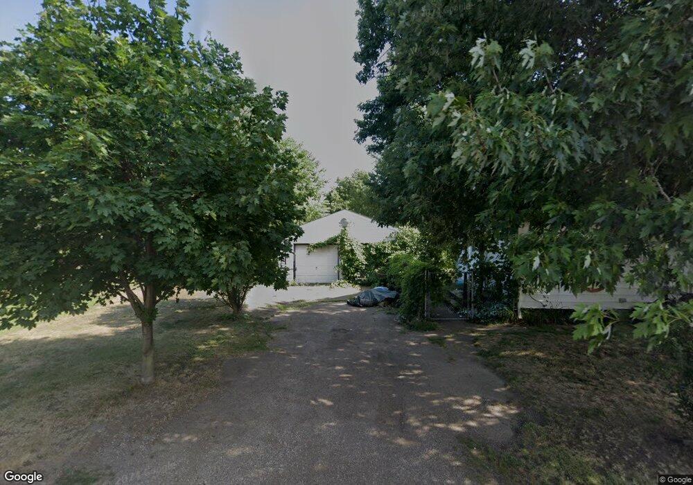
2217 Harmon St NE Canton, OH 44705
Fairmount NeighborhoodEstimated Value: $43,000 - $99,000
--
Bed
--
Bath
--
Sq Ft
4,661
Sq Ft Lot
About This Home
This home is located at 2217 Harmon St NE, Canton, OH 44705 and is currently estimated at $78,333. 2217 Harmon St NE is a home located in Stark County with nearby schools including Frazer Elementary School, Glenwood Intermediate School, and GlenOak High School.
Ownership History
Date
Name
Owned For
Owner Type
Purchase Details
Closed on
Jul 11, 2019
Sold by
Courtney Ronnie L
Bought by
Courtney Larry
Current Estimated Value
Purchase Details
Closed on
Aug 9, 2017
Sold by
Courtney Branche E
Bought by
Courtney Ronnie
Purchase Details
Closed on
Aug 26, 2015
Sold by
Stark County Land Reutilziation Corp
Bought by
Courtney Blanche E
Purchase Details
Closed on
Jul 29, 2015
Sold by
First Canton Properties Llc
Bought by
Stark County Land Reutilization Corp
Purchase Details
Closed on
Sep 16, 2005
Sold by
Deutsche Bank National Trust Co
Bought by
First Canton Properties Llc
Purchase Details
Closed on
Mar 11, 2005
Sold by
Moon Michael R and Moon Donna L
Bought by
Deutsche Bank National Trust Co and Bankers Trust Co Of California Na
Purchase Details
Closed on
Mar 30, 2000
Sold by
Moon Michael R
Bought by
Moon Michael R and Moon Donna L
Create a Home Valuation Report for This Property
The Home Valuation Report is an in-depth analysis detailing your home's value as well as a comparison with similar homes in the area
Home Values in the Area
Average Home Value in this Area
Purchase History
| Date | Buyer | Sale Price | Title Company |
|---|---|---|---|
| Courtney Larry | $44,200 | None Available | |
| Courtney Ronnie | -- | None Available | |
| Courtney Blanche E | -- | Attorney | |
| Stark County Land Reutilization Corp | -- | Attorney | |
| First Canton Properties Llc | $1,800 | -- | |
| Deutsche Bank National Trust Co | $16,000 | -- | |
| Moon Michael R | -- | -- |
Source: Public Records
Tax History Compared to Growth
Tax History
| Year | Tax Paid | Tax Assessment Tax Assessment Total Assessment is a certain percentage of the fair market value that is determined by local assessors to be the total taxable value of land and additions on the property. | Land | Improvement |
|---|---|---|---|---|
| 2025 | -- | $3,680 | $3,680 | -- |
| 2024 | $50 | $3,680 | $3,680 | -- |
| 2023 | $197 | $1,860 | $1,860 | -- |
| 2022 | $89 | $1,860 | $1,860 | $0 |
| 2021 | $89 | $1,860 | $1,860 | $0 |
| 2020 | $85 | $1,610 | $1,610 | $0 |
| 2019 | $90 | $1,610 | $1,610 | $0 |
| 2018 | $89 | $1,610 | $1,610 | $0 |
| 2017 | $207 | $1,610 | $1,610 | $0 |
| 2016 | $97 | $1,610 | $1,610 | $0 |
| 2015 | $6 | $1,610 | $1,610 | $0 |
| 2014 | $1,191 | $1,650 | $1,650 | $0 |
| 2013 | $439 | $1,650 | $1,650 | $0 |
Source: Public Records
Map
Nearby Homes
- 2322 21st St NE
- 3022 Taft Ave NE
- 1638 Warrick Place NE
- 2315 Maple Ave NE
- 0 Dover Ave NE
- 2100 Maple Ave NE
- 1742 Taft Ave NE
- 2640 Martha Ave NE
- 2211 17th St NE
- 1607 20th St NE
- 1513 22nd St NE
- 2005 17th St NE
- 2216 17th St NE
- 2028 Saint Elmo Ave NE
- 2529 17th St NE
- 1321 Warrick Place NE
- 2526 17th St NE
- 3305 Regent Ave NE
- 1607 18th St NE
- 1820 Midway Ave NE
- 2209 Harmon St NE
- 2223 Harmon St NE
- 2218 Harmon St NE
- 2201 Harmon St NE
- 2220 Harmon St NE
- 2206 Harmon St NE
- 2309 Harmon St NE
- 2207 26th St NE
- 2137 Harmon St NE
- 2301 26th St NE
- 2303 26th St NE
- 2310 Harmon St NE
- 2313 Harmon St NE
- 2203 26th St NE
- 2136 Harmon St NE
- 2305 26th St NE
- 2317 Harmon St NE
- 2309 26th St NE
- 2131 Harmon St NE
- 2318 Harmon St NE