Estimated Value: $445,239 - $529,000
2
Beds
2
Baths
1,865
Sq Ft
$258/Sq Ft
Est. Value
About This Home
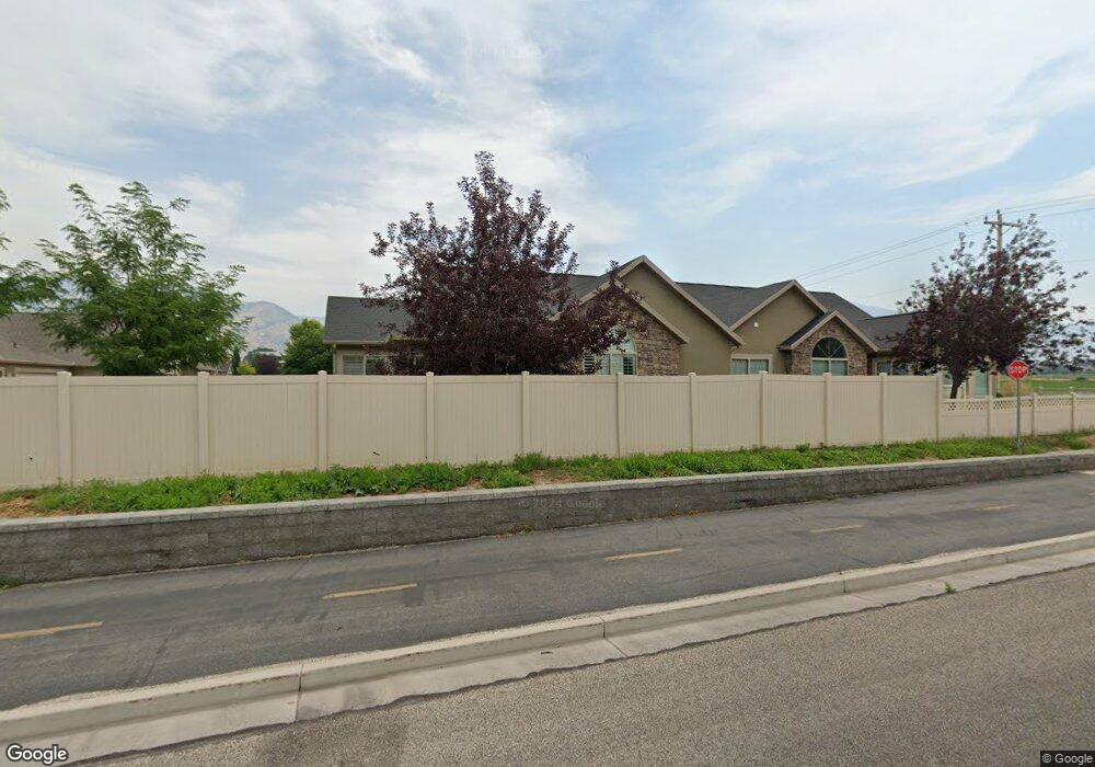
This home is located at 2217 N 230 E Unit 13C, Logan, UT 84341 and is currently estimated at $481,560, approximately $258 per square foot. 2217 N 230 E Unit 13C is a home located in Cache County with nearby schools including Greenville School, Cedar Ridge School, and Cedar Ridge Middle School.
Ownership History
Date
Name
Owned For
Owner Type
Purchase Details
Closed on
Mar 31, 2025
Sold by
Rowan Cecil and Rowan Patricia Cecil
Bought by
Cecil Family Trust and Cecil
Current Estimated Value
Purchase Details
Closed on
Jul 18, 2024
Sold by
Lyndyl H Sorensen Trust and Davis Patricia Anne
Bought by
Cecil Rowan and Cecil Patricia
Purchase Details
Closed on
Mar 15, 2011
Sold by
Leisure Group Inc
Bought by
Sorensen Lyndyl H
Create a Home Valuation Report for This Property
The Home Valuation Report is an in-depth analysis detailing your home's value as well as a comparison with similar homes in the area
Home Values in the Area
Average Home Value in this Area
Purchase History
| Date | Buyer | Sale Price | Title Company |
|---|---|---|---|
| Cecil Family Trust | -- | None Listed On Document | |
| Cecil Rowan | -- | Us Title | |
| Sorensen Lyndyl H | -- | Cache Title Company |
Source: Public Records
Tax History Compared to Growth
Tax History
| Year | Tax Paid | Tax Assessment Tax Assessment Total Assessment is a certain percentage of the fair market value that is determined by local assessors to be the total taxable value of land and additions on the property. | Land | Improvement |
|---|---|---|---|---|
| 2025 | $1,723 | $241,155 | $0 | $0 |
| 2024 | $204 | $266,145 | $0 | $0 |
| 2023 | $202 | $246,685 | $0 | $0 |
| 2022 | $2,148 | $250,140 | $0 | $0 |
| 2021 | $1,859 | $335,619 | $60,000 | $275,619 |
| 2020 | $1,770 | $299,669 | $60,000 | $239,669 |
| 2019 | $1,853 | $299,668 | $60,000 | $239,668 |
| 2018 | $1,569 | $245,990 | $32,000 | $213,990 |
| 2017 | $1,571 | $129,690 | $0 | $0 |
| 2016 | $1,596 | $124,135 | $0 | $0 |
| 2015 | $1,533 | $124,135 | $0 | $0 |
| 2014 | $1,497 | $124,135 | $0 | $0 |
| 2013 | -- | $122,560 | $0 | $0 |
Source: Public Records
Map
Nearby Homes
- 242 E 2230 N Unit A
- 327 E 2230 N Unit A
- 385 E 2280 N Unit D
- 2452 N 200 E
- 667 E 2475 N Unit 8
- 623 E 2475 N Unit 5
- 645 E 2475 N Unit 6
- 651 E 2475 N Unit 7
- 721 E 2475 N Unit 12
- 679 E 2475 N Unit 9
- 685 E 2475 N
- 645 E 2475 N
- 709 E 2475 N Unit 11
- 667 E 2475 N
- Somerley Plan at Smiling H Ranch
- Viewside Plan at Smiling H Ranch
- Willow Plan at Smiling H Ranch
- Northfield Plan at Smiling H Ranch
- Westbrook Plan at Smiling H Ranch
- Hamilton Plan at Smiling H Ranch
- 2217 N 230 E Unit C
- 2217 N 230 E
- 2217 N 230 E Unit B
- 2217 N 230 E Unit D
- 2235 N 230 E Unit A
- 2235 N 230 E Unit B
- 2235 N 230 E Unit 12A
- 2235 N 230 E Unit 12D
- 2235 N 230 E Unit 12C
- 2235 N 230 E Unit B
- 242 E 2230 N Unit B
- 242 E 2230 N Unit C
- 242 E 2230 N Unit 14C
- 242 E 2230 N Unit 14A
- 242 E 2230 N Unit D
- 242 E 2230 N
- 252 E 2230 N Unit B
- 258 E 2230 N Unit 15A
- 258 E 2230 N Unit 15D
- 258 E 2230 N Unit C