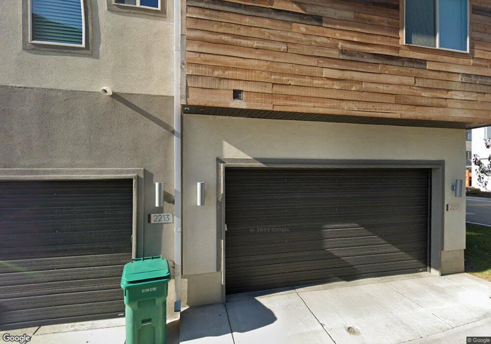
2217 N 450 W Layton, UT 84041
Estimated Value: $436,000 - $569,000
4
Beds
4
Baths
2,037
Sq Ft
$237/Sq Ft
Est. Value
About This Home
This home is located at 2217 N 450 W, Layton, UT 84041 and is currently estimated at $482,003, approximately $236 per square foot. 2217 N 450 W is a home located in Davis County with nearby schools including Lincoln Elementary School, North Layton Junior High School, and Northridge High School.
Ownership History
Date
Name
Owned For
Owner Type
Purchase Details
Closed on
Jul 29, 2021
Sold by
Conway Edward Ethan and Conway Jessie M
Bought by
Barton Dallin
Current Estimated Value
Home Financials for this Owner
Home Financials are based on the most recent Mortgage that was taken out on this home.
Original Mortgage
$411,000
Outstanding Balance
$373,090
Interest Rate
2.93%
Mortgage Type
New Conventional
Estimated Equity
$108,913
Purchase Details
Closed on
Dec 19, 2018
Sold by
Evn Property Development Llc
Bought by
Conway Edward Ethan and Conway Jessie M
Home Financials for this Owner
Home Financials are based on the most recent Mortgage that was taken out on this home.
Original Mortgage
$306,839
Interest Rate
5.5%
Mortgage Type
FHA
Create a Home Valuation Report for This Property
The Home Valuation Report is an in-depth analysis detailing your home's value as well as a comparison with similar homes in the area
Home Values in the Area
Average Home Value in this Area
Purchase History
| Date | Buyer | Sale Price | Title Company |
|---|---|---|---|
| Barton Dallin | -- | Investors Title Ins Agency | |
| Conway Edward Ethan | -- | Advanced Title Ins Ag |
Source: Public Records
Mortgage History
| Date | Status | Borrower | Loan Amount |
|---|---|---|---|
| Open | Barton Dallin | $411,000 | |
| Previous Owner | Conway Edward Ethan | $306,839 |
Source: Public Records
Tax History Compared to Growth
Tax History
| Year | Tax Paid | Tax Assessment Tax Assessment Total Assessment is a certain percentage of the fair market value that is determined by local assessors to be the total taxable value of land and additions on the property. | Land | Improvement |
|---|---|---|---|---|
| 2025 | $2,285 | $239,800 | $72,600 | $167,200 |
| 2024 | $2,169 | $229,350 | $54,450 | $174,900 |
| 2023 | $2,312 | $431,000 | $100,000 | $331,000 |
| 2022 | $2,511 | $254,100 | $58,300 | $195,800 |
| 2021 | $2,365 | $357,000 | $75,000 | $282,000 |
| 2020 | $2,037 | $295,000 | $31,200 | $263,800 |
| 2019 | $2,066 | $293,000 | $30,000 | $263,000 |
Source: Public Records
Map
Nearby Homes
- 2233 N 475 W
- 506 W 2200 N
- 2248 N 500 W
- 2211 N 525 W
- 2149 N 750 W
- 2053 Evans Cove Loop Unit 39
- 538 W 1875 N
- 2048 Evans Cove Loop
- 95 W 2400 N
- 1908 N 200 W
- 2600 N Hill Field Rd Unit 108
- 2600 N Hill Field Rd Unit 4
- 2500 N Fort Ln Unit 238
- 398 Paul Ave
- 1715 N Alder St
- 1683 N 250 W
- 2875 N Hill Field Rd Unit 17
- 2875 N Hill Field Rd Unit 199
- 2875 N Hill Field Rd Unit 58
- 2875 N Hill Field Rd Unit 62
- 2213 N 450 W
- 2227 N Hill Field Rd
- 2227 N Hill Field Rd Unit 79
- 2227 N Hill Field Rd Unit 505
- 2218 N 450 W
- 2231 N 450 W
- 2222 N 450 W
- 2222 N 450 W Unit 4
- 2214 N 450 W Unit 2
- 2214 N 450 W
- 2210 N 450 W
- 2226 N 450 W
- 2234 N 450 W
- 2234 N 450 W Unit 6
- 2232 N 475 W Unit 22
- 2241 N 450 W Unit 15
- 2195 N 450 W
- 2238 N 450 W Unit 7
- 2238 N 450 W
- 2236 N 475 W