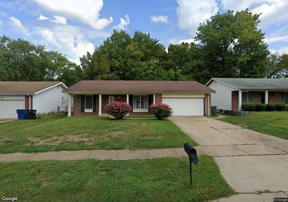
2217 Rountree Dr Saint Louis, MO 63136
Estimated Value: $195,000 - $212,000
3
Beds
3
Baths
1,318
Sq Ft
$156/Sq Ft
Est. Value
About This Home
This home is located at 2217 Rountree Dr, Saint Louis, MO 63136 and is currently estimated at $204,986, approximately $155 per square foot. 2217 Rountree Dr is a home located in St. Louis County with nearby schools including Grannemann Elementary School, Hazelwood East High School, and Salem Lutheran School.
Ownership History
Date
Name
Owned For
Owner Type
Purchase Details
Closed on
Feb 9, 2005
Sold by
Andrews Ellen and Williams Charles
Bought by
Andrews Ellen
Current Estimated Value
Home Financials for this Owner
Home Financials are based on the most recent Mortgage that was taken out on this home.
Original Mortgage
$87,500
Interest Rate
7.6%
Mortgage Type
Purchase Money Mortgage
Create a Home Valuation Report for This Property
The Home Valuation Report is an in-depth analysis detailing your home's value as well as a comparison with similar homes in the area
Home Values in the Area
Average Home Value in this Area
Purchase History
| Date | Buyer | Sale Price | Title Company |
|---|---|---|---|
| Andrews Ellen | -- | Nations Title Agency Mo Inc |
Source: Public Records
Mortgage History
| Date | Status | Borrower | Loan Amount |
|---|---|---|---|
| Closed | Andrews Ellen | $87,500 |
Source: Public Records
Tax History Compared to Growth
Tax History
| Year | Tax Paid | Tax Assessment Tax Assessment Total Assessment is a certain percentage of the fair market value that is determined by local assessors to be the total taxable value of land and additions on the property. | Land | Improvement |
|---|---|---|---|---|
| 2025 | $2,792 | $36,840 | $4,160 | $32,680 |
| 2024 | $2,792 | $30,880 | $2,870 | $28,010 |
| 2023 | $2,782 | $30,880 | $2,870 | $28,010 |
| 2022 | $2,308 | $22,750 | $4,790 | $17,960 |
| 2021 | $2,184 | $22,750 | $4,790 | $17,960 |
| 2020 | $1,763 | $17,060 | $2,870 | $14,190 |
| 2019 | $1,749 | $17,060 | $2,870 | $14,190 |
| 2018 | $1,811 | $16,340 | $1,690 | $14,650 |
| 2017 | $1,809 | $16,340 | $1,690 | $14,650 |
| 2016 | $1,956 | $17,400 | $2,450 | $14,950 |
| 2015 | $1,911 | $17,400 | $2,450 | $14,950 |
| 2014 | $1,850 | $16,760 | $2,110 | $14,650 |
Source: Public Records
Map
Nearby Homes
- 2291 Redman Rd
- 11377 Fox Hall Ln
- 11401 Northway Dr
- 2355 Redman Rd
- 11292 Jerries Ln
- 2015 Claudine Dr
- 11559 Asheboro Dr
- 1912 Shardell Dr
- 11774 El Somo Ct
- 1928 Claudine Dr
- 1911 Redman Rd
- 6530 Farm Pond Ct
- 1877 Claudine Dr
- 11922 La Padera Ln
- 11550 Rock Hampton Dr
- 11221 Sugartrail Dr
- 11191 Whispering Oaks Dr
- 11440 Sheffield Dr
- 2419 Forest Shadows Dr
- 11760 Sheffield Dr
- 2211 Rountree Dr
- 2223 Rountree Dr
- 2205 Rountree Dr
- 2229 Rountree Dr
- 2214 Rountree Dr
- 2220 Rountree Dr
- 2270 Redman Rd
- 2210 Rountree Dr
- 2201 Rountree Dr
- 2235 Rountree Dr
- 2226 Rountree Dr
- 2284 Redman Rd
- 2241 Rountree Dr
- 2200 Rountree Dr
- 2197 Rountree Dr
- 2288 Redman Rd
- 2238 Rountree Dr
- 2215 Armitage Dr
- 2221 Armitage Dr
- 2250 Redman Rd