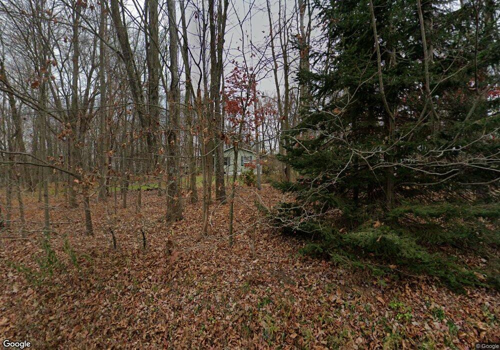
2217 State Route 29 Hwy Hunlock Creek, PA 18621
Estimated Value: $150,000 - $187,255
--
Bed
--
Bath
960
Sq Ft
$172/Sq Ft
Est. Value
About This Home
This home is located at 2217 State Route 29 Hwy, Hunlock Creek, PA 18621 and is currently estimated at $165,564, approximately $172 per square foot. 2217 State Route 29 Hwy is a home.
Ownership History
Date
Name
Owned For
Owner Type
Purchase Details
Closed on
Dec 23, 2024
Sold by
Mcmahon Gail and Mcmahon George
Bought by
Klein Rachel Elizabeth and Klein Dakota Alexander
Current Estimated Value
Home Financials for this Owner
Home Financials are based on the most recent Mortgage that was taken out on this home.
Original Mortgage
$139,500
Outstanding Balance
$138,413
Interest Rate
6.84%
Mortgage Type
New Conventional
Estimated Equity
$27,151
Purchase Details
Closed on
Feb 26, 1976
Bought by
Mcmahon George and Mcmahon Gail
Create a Home Valuation Report for This Property
The Home Valuation Report is an in-depth analysis detailing your home's value as well as a comparison with similar homes in the area
Home Values in the Area
Average Home Value in this Area
Purchase History
| Date | Buyer | Sale Price | Title Company |
|---|---|---|---|
| Klein Rachel Elizabeth | $155,000 | None Listed On Document | |
| Klein Rachel Elizabeth | $155,000 | None Listed On Document | |
| Mcmahon George | -- | -- |
Source: Public Records
Mortgage History
| Date | Status | Borrower | Loan Amount |
|---|---|---|---|
| Open | Klein Rachel Elizabeth | $139,500 | |
| Closed | Klein Rachel Elizabeth | $139,500 |
Source: Public Records
Tax History Compared to Growth
Tax History
| Year | Tax Paid | Tax Assessment Tax Assessment Total Assessment is a certain percentage of the fair market value that is determined by local assessors to be the total taxable value of land and additions on the property. | Land | Improvement |
|---|---|---|---|---|
| 2025 | $2,552 | $115,500 | $43,100 | $72,400 |
| 2024 | $2,538 | $115,500 | $43,100 | $72,400 |
| 2023 | $2,526 | $115,500 | $43,100 | $72,400 |
| 2022 | $2,389 | $115,500 | $43,100 | $72,400 |
| 2021 | $2,292 | $115,500 | $43,100 | $72,400 |
| 2020 | $2,292 | $115,500 | $43,100 | $72,400 |
| 2019 | $2,207 | $115,500 | $43,100 | $72,400 |
| 2018 | $2,117 | $115,500 | $43,100 | $72,400 |
| 2017 | $2,080 | $115,500 | $43,100 | $72,400 |
| 2016 | -- | $115,500 | $43,100 | $72,400 |
| 2015 | -- | $115,500 | $43,100 | $72,400 |
| 2014 | -- | $115,500 | $43,100 | $72,400 |
Source: Public Records
Map
Nearby Homes
- 0 Moon Lake Rd
- 141 Sayre Rd
- 15 Pearl St
- 641 Sorbertown Hill Rd
- 32 Lake Ave
- 127 White Oak Dr
- 107 White Oak Dr
- 983 Swamp Rd
- 73 Adams Dr
- 4B, C, & D Hayfield Rd
- 1B & C Hayfield Rd
- 86 George St
- 85 Sorbertown Hill Rd
- 106 N N Mill St
- Lot 54 Garden Dr
- 609 Main Rd
- 2637 Chase Rd
- 130 Jackson Rd
- 1011 Mill St
- 113 Jackson Rd
- 8 Thorny Apple Dr
- 3 Thorny Apple Dr
- 14 Thorny Apple Dr
- 42 Thorny Apple Dr
- 2235 State Route 29 Hwy
- 26 Thorny Apple Dr
- 52 Thorny Apple Dr
- 2240 State Route 29 Hwy
- 23 Thorny Apple Dr
- 2240 Pennsylvania 29
- 58 Thorny Apple Dr
- 31 Thorny Apple Dr
- 2206 State Route 29 Hwy
- 57 Thorny Apple Dr
- 64 Thorny Apple Dr
- 43 Thorny Apple Dr
- 2182 Pennsylvania 29
- 2182 State Route 29 Hwy
- 2256 State Route 29 Hwy
- 2181 Pennsylvania 29