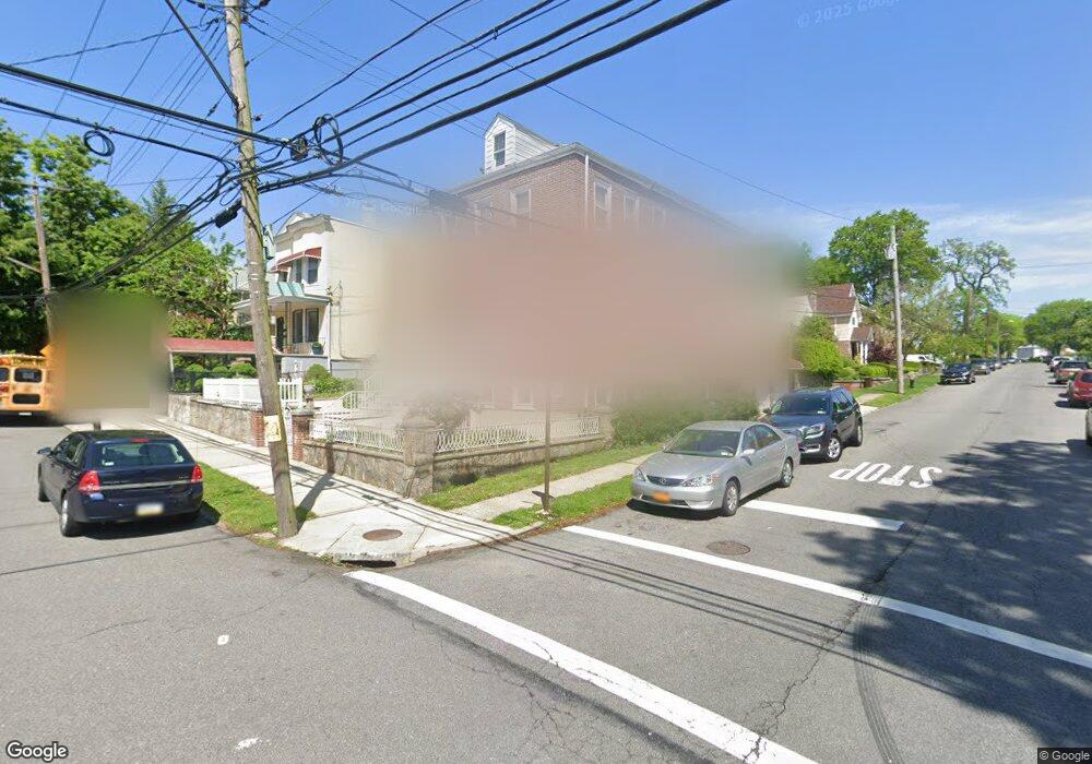
2217 Strang Ave Unit 2219 Bronx, NY 10466
Edenwald NeighborhoodEstimated Value: $896,000 - $1,156,000
--
Bed
--
Bath
3,726
Sq Ft
$282/Sq Ft
Est. Value
About This Home
This home is located at 2217 Strang Ave Unit 2219, Bronx, NY 10466 and is currently estimated at $1,052,333, approximately $282 per square foot. 2217 Strang Ave Unit 2219 is a home located in Bronx County with nearby schools including P.S. 68 - Bronx, One World Middle School At Edenwald, and Baychester Middle School.
Ownership History
Date
Name
Owned For
Owner Type
Purchase Details
Closed on
Mar 15, 1994
Sold by
Williams Walter E and Davidson Carl
Bought by
Williams Walter E
Current Estimated Value
Home Financials for this Owner
Home Financials are based on the most recent Mortgage that was taken out on this home.
Original Mortgage
$223,000
Interest Rate
8.49%
Create a Home Valuation Report for This Property
The Home Valuation Report is an in-depth analysis detailing your home's value as well as a comparison with similar homes in the area
Home Values in the Area
Average Home Value in this Area
Purchase History
| Date | Buyer | Sale Price | Title Company |
|---|---|---|---|
| Williams Walter E | -- | Judicial Title | |
| Williams Walter E | -- | Judicial Title |
Source: Public Records
Mortgage History
| Date | Status | Borrower | Loan Amount |
|---|---|---|---|
| Previous Owner | Williams Walter E | $223,000 |
Source: Public Records
Tax History Compared to Growth
Tax History
| Year | Tax Paid | Tax Assessment Tax Assessment Total Assessment is a certain percentage of the fair market value that is determined by local assessors to be the total taxable value of land and additions on the property. | Land | Improvement |
|---|---|---|---|---|
| 2025 | $8,344 | $45,517 | $10,147 | $35,370 |
| 2024 | $8,344 | $42,941 | $10,476 | $32,465 |
| 2023 | $8,437 | $42,941 | $11,612 | $31,329 |
| 2022 | $8,221 | $49,020 | $12,720 | $36,300 |
| 2021 | $8,158 | $45,720 | $12,720 | $33,000 |
| 2020 | $5,893 | $47,940 | $12,720 | $35,220 |
| 2019 | $7,193 | $38,640 | $12,720 | $25,920 |
| 2018 | $6,997 | $35,784 | $10,931 | $24,853 |
| 2017 | $6,940 | $35,515 | $12,027 | $23,488 |
| 2016 | $6,388 | $33,505 | $12,163 | $21,342 |
| 2015 | $3,838 | $31,609 | $10,236 | $21,373 |
| 2014 | $3,838 | $29,820 | $11,580 | $18,240 |
Source: Public Records
Map
Nearby Homes
- 3968 Duryea Ave
- 3964 Duryea Ave
- 2181 Strang Ave
- 4040 Pratt Ave
- 4044 Pratt Ave
- 3963 Duryea Ave
- 3924 Duryea Ave
- 3919 Pratt Ave
- 32 Duryea Ave
- 3943 Seton Ave
- 3946 Secor Ave
- 1405 E 233rd St
- 2123 Garrett Place
- 4073 Monticello Ave
- 629 S 7th Ave
- 3943 Hill Ave
- 3992 Rombouts Ave
- 639 S 5th Ave
- 724 S 4th Ave
- 2110 Light St
- 2217-2219 Strang Ave
- 2215 Strang Ave
- 2211 Strang Ave
- 4013 Bell Ave
- 2225 Strang Ave
- 2209 Strang Ave
- 2207 Strang Ave
- 2229 Strang Ave
- 4012 Bell Ave
- 4017 Bell Ave
- 2205 Strang Ave
- 4010 Duryea Ave
- 4014 Bell Ave
- 2218 Strang Ave
- 2216 Strang Ave
- 4014 Duryea Ave
- 2233 Strang Ave
- 2201 Strang Ave
- 2212 Strang Ave
- 2210 Strang Ave