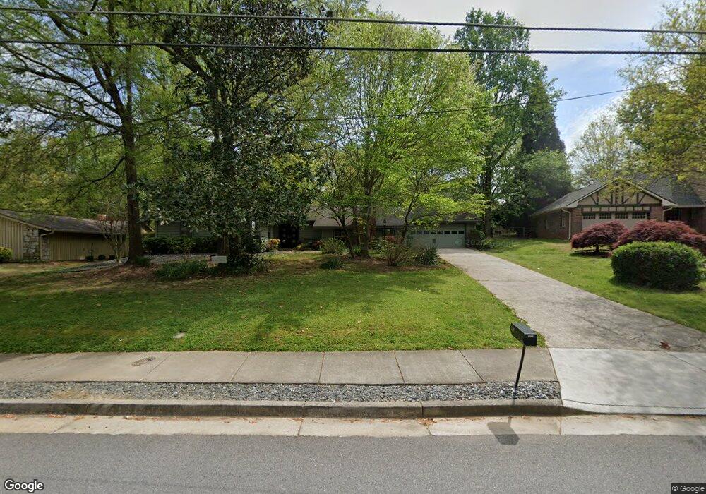
2219 Brendon Dr Unit 4 Atlanta, GA 30338
Estimated Value: $580,000 - $678,000
3
Beds
2
Baths
2,368
Sq Ft
$263/Sq Ft
Est. Value
About This Home
This home is located at 2219 Brendon Dr Unit 4, Atlanta, GA 30338 and is currently estimated at $622,269, approximately $262 per square foot. 2219 Brendon Dr Unit 4 is a home located in DeKalb County with nearby schools including Kingsley Elementary School, Peachtree Middle School, and Dunwoody High School.
Ownership History
Date
Name
Owned For
Owner Type
Purchase Details
Closed on
Jan 29, 2002
Sold by
Birchfield Margaret
Bought by
Tonn Angela
Current Estimated Value
Home Financials for this Owner
Home Financials are based on the most recent Mortgage that was taken out on this home.
Original Mortgage
$188,000
Outstanding Balance
$77,481
Interest Rate
7.16%
Mortgage Type
New Conventional
Estimated Equity
$544,788
Create a Home Valuation Report for This Property
The Home Valuation Report is an in-depth analysis detailing your home's value as well as a comparison with similar homes in the area
Home Values in the Area
Average Home Value in this Area
Purchase History
| Date | Buyer | Sale Price | Title Company |
|---|---|---|---|
| Tonn Angela | $235,000 | -- |
Source: Public Records
Mortgage History
| Date | Status | Borrower | Loan Amount |
|---|---|---|---|
| Open | Tonn Angela | $188,000 |
Source: Public Records
Tax History Compared to Growth
Tax History
| Year | Tax Paid | Tax Assessment Tax Assessment Total Assessment is a certain percentage of the fair market value that is determined by local assessors to be the total taxable value of land and additions on the property. | Land | Improvement |
|---|---|---|---|---|
| 2025 | $5,781 | $224,040 | $54,000 | $170,040 |
| 2024 | $5,042 | $188,160 | $54,000 | $134,160 |
| 2023 | $5,042 | $203,040 | $54,000 | $149,040 |
| 2022 | $4,581 | $168,040 | $54,000 | $114,040 |
| 2021 | $4,150 | $151,840 | $54,000 | $97,840 |
| 2020 | $3,793 | $132,800 | $54,000 | $78,800 |
| 2019 | $3,659 | $129,680 | $54,000 | $75,680 |
| 2018 | $1,709 | $115,360 | $44,160 | $71,200 |
| 2017 | $3,727 | $111,120 | $44,160 | $66,960 |
| 2016 | $3,080 | $97,040 | $44,160 | $52,880 |
| 2014 | $2,923 | $90,240 | $44,160 | $46,080 |
Source: Public Records
Map
Nearby Homes
- 2220 Spring Mill Cove
- 5004 Delverton Ct Unit 8
- 5145 Davantry Dr
- 5231 Seaton Dr
- 4772 Cherring Dr
- 5015 Oakhurst Walk
- 4962 Tilly Mill Rd
- 2368 Peeler Rd
- 2428 Peeler Rd
- 4942 Lakeland Woods Ct
- 4834 Tilly Mill Rd
- 2479 Kingsland Dr
- 2293 Littlebrooke Trace
- 5401 Seaton Way
- 5284 Brookelake Dr
- 5318 Brooke Farm Dr
- 1850 E Gate Cove
- 2511 Cherry Hill Ln
- 2227 Brendon Dr
- 2203 Brendon Dr
- 5064 N Peachtree Rd
- 2210 Brendon Dr
- 2226 Brendon Dr
- 2230 Spring Mill Cove
- 2186 Tillingham Ct
- 5054 N Peachtree Rd
- 2200 Brendon Dr
- 2238 Spring Mill Cove
- 2199 Brendon Dr
- 2180 Tillingham Ct
- N Peachtree
- 5046 N Peachtree Rd
- 5092 N Peachtree Rd
- 2183 Tillingham Ct
- 2205 Prestwood Ct
- 2196 Brendon Dr
- 0 Prestwood Ct Unit 8394485
- 0 Prestwood Ct Unit 8948376