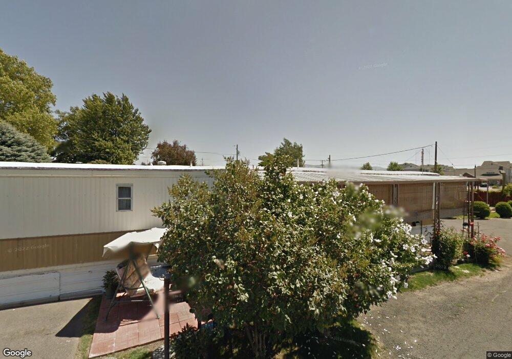
2219 E Isaacs Ave Unit 17 17 Walla Walla, WA 99362
Estimated Value: $326,000 - $703,871
--
Bed
--
Bath
550
Sq Ft
$1,049/Sq Ft
Est. Value
About This Home
This home is located at 2219 E Isaacs Ave Unit 17 17, Walla Walla, WA 99362 and is currently estimated at $576,957, approximately $1,049 per square foot. 2219 E Isaacs Ave Unit 17 17 is a home located in Walla Walla County with nearby schools including Edison Elementary School, Pioneer Middle School, and R-Kidz Early Childhood Education Center.
Ownership History
Date
Name
Owned For
Owner Type
Purchase Details
Closed on
Jan 7, 2021
Sold by
Martin Kathy A
Bought by
Lynnwood Manor Mhp Llc
Current Estimated Value
Home Financials for this Owner
Home Financials are based on the most recent Mortgage that was taken out on this home.
Original Mortgage
$525,000
Outstanding Balance
$468,482
Interest Rate
2.7%
Mortgage Type
Commercial
Estimated Equity
$108,475
Purchase Details
Closed on
Dec 24, 2012
Sold by
Martin Kathy A and Johnson Sharon J
Bought by
Martin Kathy A
Create a Home Valuation Report for This Property
The Home Valuation Report is an in-depth analysis detailing your home's value as well as a comparison with similar homes in the area
Home Values in the Area
Average Home Value in this Area
Purchase History
| Date | Buyer | Sale Price | Title Company |
|---|---|---|---|
| Lynnwood Manor Mhp Llc | $700,000 | None Available | |
| Martin Kathy A | -- | None Available |
Source: Public Records
Mortgage History
| Date | Status | Borrower | Loan Amount |
|---|---|---|---|
| Open | Lynnwood Manor Mhp Llc | $525,000 |
Source: Public Records
Tax History Compared to Growth
Tax History
| Year | Tax Paid | Tax Assessment Tax Assessment Total Assessment is a certain percentage of the fair market value that is determined by local assessors to be the total taxable value of land and additions on the property. | Land | Improvement |
|---|---|---|---|---|
| 2024 | $6,184 | $698,200 | $337,700 | $360,500 |
| 2023 | $6,184 | $698,200 | $337,700 | $360,500 |
| 2022 | $6,025 | $556,050 | $228,250 | $327,800 |
| 2021 | $6,647 | $556,050 | $228,250 | $327,800 |
| 2020 | $6,570 | $556,050 | $228,250 | $327,800 |
| 2019 | $6,010 | $556,050 | $228,250 | $327,800 |
| 2018 | $7,342 | $556,050 | $228,250 | $327,800 |
| 2017 | $5,390 | $556,050 | $228,250 | $327,800 |
| 2016 | $5,666 | $440,400 | $103,000 | $337,400 |
| 2015 | $5,544 | $440,400 | $103,000 | $337,400 |
| 2014 | -- | $440,400 | $103,000 | $337,400 |
| 2013 | -- | $440,400 | $103,000 | $337,400 |
Source: Public Records
Map
Nearby Homes
- 1260 Jones Dr
- 618 Cardinal Dr
- 1665 Cambridge Dr
- 157 Boyer Dr
- 929 Olympia Dr
- 2004 Lark Dr
- 934 Shasta Dr
- 43 Boyer Dr
- 1816 Evergreen St
- 721 Wellington Ave
- 1950 K St
- 177 Laurel St
- 1735 Evergreen St
- 1704 Walla Ave
- 1910 J St Unit 202
- 1910 J St Unit 201
- 89 Garden Dr
- 1539 Granville St
- 713 N Roosevelt St
- 196 198 Tausick Way
- 2219 E Isaacs Ave Unit 17
- 2219 E Isaacs Ave Unit 15
- 2219 E Isaacs Ave Unit 7
- 2219 E Isaacs Ave
- 2219 E Isaacs Ave Unit 21
- 2702 Melrose St
- 2704 Melrose St
- 2712 Melrose St
- 2716 Melrose St
- 2716 Melrose St Unit 120
- 3228 E Isaacs Ave
- 3228 E Isaacs Ave
- 0 E Isaacs Ave
- 2279 Isaacs Ave
- 2189 Isaacs Ave
- 2728 Melrose St
- 2222 E Issacs Ave
- 2222 E Issacs Ave
- 2330 Eastgate St Unit 150
- 2330 Eastgate St Unit 206