2219 Henson Farm Rd Festus, MO 63028
Estimated Value: $294,000 - $472,965
--
Bed
1
Bath
1,234
Sq Ft
$303/Sq Ft
Est. Value
About This Home
This home is located at 2219 Henson Farm Rd, Festus, MO 63028 and is currently estimated at $373,741, approximately $302 per square foot. 2219 Henson Farm Rd is a home located in Jefferson County with nearby schools including Plattin Primary School, Telegraph Intermediate School, and Danby-Rush Tower Middle School.
Ownership History
Date
Name
Owned For
Owner Type
Purchase Details
Closed on
Feb 26, 2004
Sold by
Bourbon Tammy and Bourbon John
Bought by
The Welch Family Trust
Current Estimated Value
Home Financials for this Owner
Home Financials are based on the most recent Mortgage that was taken out on this home.
Original Mortgage
$200,000
Interest Rate
5.68%
Mortgage Type
Purchase Money Mortgage
Purchase Details
Closed on
Jan 22, 1999
Sold by
Henson Melvin D and Henson Donna M
Bought by
Wilson Tammy
Create a Home Valuation Report for This Property
The Home Valuation Report is an in-depth analysis detailing your home's value as well as a comparison with similar homes in the area
Home Values in the Area
Average Home Value in this Area
Purchase History
| Date | Buyer | Sale Price | Title Company |
|---|---|---|---|
| The Welch Family Trust | -- | -- | |
| Wilson Tammy | -- | First American Title |
Source: Public Records
Mortgage History
| Date | Status | Borrower | Loan Amount |
|---|---|---|---|
| Closed | The Welch Family Trust | $200,000 |
Source: Public Records
Tax History Compared to Growth
Tax History
| Year | Tax Paid | Tax Assessment Tax Assessment Total Assessment is a certain percentage of the fair market value that is determined by local assessors to be the total taxable value of land and additions on the property. | Land | Improvement |
|---|---|---|---|---|
| 2025 | $2,678 | $45,700 | $3,200 | $42,500 |
| 2024 | $2,678 | $41,900 | $3,200 | $38,700 |
| 2023 | $2,678 | $41,900 | $3,200 | $38,700 |
| 2022 | $2,679 | $41,900 | $3,200 | $38,700 |
| 2021 | $2,682 | $41,900 | $3,200 | $38,700 |
| 2020 | $2,495 | $37,700 | $2,700 | $35,000 |
| 2019 | $2,495 | $37,700 | $2,700 | $35,000 |
| 2018 | $2,484 | $37,600 | $2,700 | $34,900 |
| 2017 | $2,353 | $37,600 | $2,700 | $34,900 |
| 2016 | $2,188 | $35,100 | $2,700 | $32,400 |
| 2015 | $2,100 | $35,100 | $2,700 | $32,400 |
| 2013 | $2,100 | $34,200 | $2,500 | $31,700 |
Source: Public Records
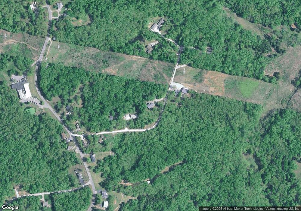
Map
Nearby Homes
- 12720 Oakbriar Meadows Ln
- 12790 Carla Ln
- 12647 State Road Tt
- 1900 Erin Dr
- 1800 Burley Rd
- 1490 Cole Rd
- 1513 Timber Wolf Dr
- 101 Boise Cir
- 1 Seclusion Woods
- 406 Huntington Trails Dr
- 12268 State Road Tt
- 0 Lobo Dr Lot 3
- 0 Unknown Unit MIS25062432
- 1517 Louisiana Dr
- SW1/4 SE1/4 Drury Road - Gyurica 120 48 + - Acres
- 917 Wellington Ridge
- 1509 Buck View
- Lot 61 S Pointe Estates
- 4 Lot Howe Crossing
- 870 State Road Aa
- 0Lot 6 Henson Farm Rd
- 0Lot 6 Henson Farms
- 2206 Henson Farm Rd
- 2243 Rd
- 2243 Henson Farm Rd
- 2244 Henson Farm Rd
- 2203 Henson Farm Rd
- 2200 Henson Farm Rd
- 2201 Henson Farm Rd
- 12886 State Road Tt
- 12860 State Road Tt
- 12844 State Road Tt
- 12902 State Road Tt
- 12885 State Road Tt
- 12861 State Road Tt
- 12917 State Road Tt
- 12936 State Road Tt
- 12778 State Road Tt
- 0 Henson Farms Lot 6
- 12774 State Road Tt