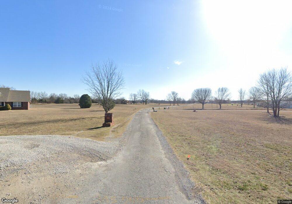
2219 S Locust St Skiatook, OK 74070
Estimated Value: $257,000 - $424,000
3
Beds
2
Baths
2,220
Sq Ft
$144/Sq Ft
Est. Value
About This Home
This home is located at 2219 S Locust St, Skiatook, OK 74070 and is currently estimated at $319,974, approximately $144 per square foot. 2219 S Locust St is a home located in Osage County with nearby schools including Marrs Elementary School, Newman Middle School, and Skiatook High School.
Ownership History
Date
Name
Owned For
Owner Type
Purchase Details
Closed on
Mar 3, 2016
Sold by
Carner Martin L and Carner Linda A
Bought by
Carner Martin L and Carner Linda A
Current Estimated Value
Purchase Details
Closed on
Mar 6, 2000
Sold by
Willingham Jason M and Willingham
Bought by
Carner Martin L and Linda H-W
Purchase Details
Closed on
Nov 15, 1995
Sold by
Garrison Lloyd L
Bought by
Willingham Jason M and Willingham
Create a Home Valuation Report for This Property
The Home Valuation Report is an in-depth analysis detailing your home's value as well as a comparison with similar homes in the area
Home Values in the Area
Average Home Value in this Area
Purchase History
| Date | Buyer | Sale Price | Title Company |
|---|---|---|---|
| Carner Martin L | -- | None Available | |
| Carner Martin L | $26,000 | -- | |
| Willingham Jason M | $15,000 | -- |
Source: Public Records
Tax History Compared to Growth
Tax History
| Year | Tax Paid | Tax Assessment Tax Assessment Total Assessment is a certain percentage of the fair market value that is determined by local assessors to be the total taxable value of land and additions on the property. | Land | Improvement |
|---|---|---|---|---|
| 2025 | $3,091 | $32,062 | $3,214 | $28,848 |
| 2024 | $3,007 | $31,128 | $3,120 | $28,008 |
| 2023 | $3,007 | $30,797 | $3,120 | $27,677 |
| 2022 | $2,863 | $29,029 | $3,120 | $25,909 |
| 2021 | $2,785 | $29,029 | $3,120 | $25,909 |
| 2020 | $2,718 | $28,184 | $3,120 | $25,064 |
| 2019 | $2,752 | $28,184 | $3,120 | $25,064 |
| 2018 | $2,740 | $28,184 | $3,120 | $25,064 |
| 2017 | $2,782 | $28,196 | $3,120 | $25,076 |
| 2016 | $2,698 | $27,271 | $3,120 | $24,151 |
| 2015 | $2,676 | $27,271 | $3,120 | $24,151 |
| 2014 | $2,482 | $26,624 | $3,120 | $23,504 |
| 2013 | $2,504 | $25,849 | $3,120 | $22,729 |
Source: Public Records
Map
Nearby Homes
- 1602 W 131st St N
- 109 W 133rd Place N
- 104 W 133rd Place N
- 2100 S Haynie Ct
- 108 W 135th St N
- 143 E 136th St N
- 1127 S Russell St
- 116 W Dogwood St
- 13107 N Cincinnati Ave
- 1122 S Russell St
- 133 W Chestnut Place
- 14 W Chestnut St
- 1122 W Beech St
- 1128 S Quail Creek Rd
- 724 S Haynie St
- 615 S Haynie St
- 411 Pine Ave
- 312 E Elm St
- 305 E Elm St
- 534 S Osage St
- 2215 S Locust St
- 500 W 133rd St N
- 13080 S Locust St
- 13005 S Locust St
- 13130 S Locust St
- 2220 S Locust St
- 2216 S Locust St
- 1594 W 133rd St N
- 12872 S Osage Ave
- 13284 S Locust St
- 1616 W 131st St N
- 1698 W 131st St N
- 12854 S Osage Ave
- 9450 S Osage Dr
- 909 W 131st St N
- 13002 S Locust St
- 1740 W 131st St N
- 12912 S Osage Ave
- 0 W 133rd St Unit 704194
- 0 W 133rd St Unit 826158