22198 Anderson Rd Summers, AR 72769
Summers NeighborhoodEstimated Value: $220,000 - $320,000
3
Beds
2
Baths
1,400
Sq Ft
$185/Sq Ft
Est. Value
About This Home
This home is located at 22198 Anderson Rd, Summers, AR 72769 and is currently estimated at $259,029, approximately $185 per square foot. 22198 Anderson Rd is a home located in Washington County with nearby schools including Lincoln Elementary School.
Ownership History
Date
Name
Owned For
Owner Type
Purchase Details
Closed on
Aug 31, 2004
Sold by
Stone Timothy D and Stone Karen J
Bought by
Thomas Ron and Thomas Joy
Current Estimated Value
Home Financials for this Owner
Home Financials are based on the most recent Mortgage that was taken out on this home.
Original Mortgage
$85,000
Outstanding Balance
$42,066
Interest Rate
5.97%
Mortgage Type
Purchase Money Mortgage
Estimated Equity
$216,963
Purchase Details
Closed on
Sep 15, 1986
Bought by
Stone Timothy D
Purchase Details
Closed on
Jun 22, 1982
Bought by
Reed Bobby Howard and Debra Jean
Create a Home Valuation Report for This Property
The Home Valuation Report is an in-depth analysis detailing your home's value as well as a comparison with similar homes in the area
Home Values in the Area
Average Home Value in this Area
Purchase History
| Date | Buyer | Sale Price | Title Company |
|---|---|---|---|
| Thomas Ron | $85,000 | Ltc | |
| Stone Timothy D | $25,000 | -- | |
| Reed Bobby Howard | -- | -- |
Source: Public Records
Mortgage History
| Date | Status | Borrower | Loan Amount |
|---|---|---|---|
| Open | Thomas Ron | $85,000 |
Source: Public Records
Tax History
| Year | Tax Paid | Tax Assessment Tax Assessment Total Assessment is a certain percentage of the fair market value that is determined by local assessors to be the total taxable value of land and additions on the property. | Land | Improvement |
|---|---|---|---|---|
| 2025 | $408 | $33,750 | $5,730 | $28,020 |
| 2024 | $490 | $33,750 | $5,730 | $28,020 |
| 2023 | $557 | $33,750 | $5,730 | $28,020 |
| 2022 | $686 | $23,330 | $3,990 | $19,340 |
| 2021 | $673 | $23,330 | $3,990 | $19,340 |
| 2020 | $625 | $23,330 | $3,990 | $19,340 |
| 2019 | $563 | $17,040 | $3,490 | $13,550 |
| 2018 | $408 | $14,380 | $3,490 | $10,890 |
| 2017 | $350 | $14,380 | $3,490 | $10,890 |
| 2016 | $400 | $14,380 | $3,490 | $10,890 |
| 2015 | $399 | $14,380 | $3,490 | $10,890 |
| 2014 | $366 | $13,334 | $3,154 | $10,180 |
Source: Public Records
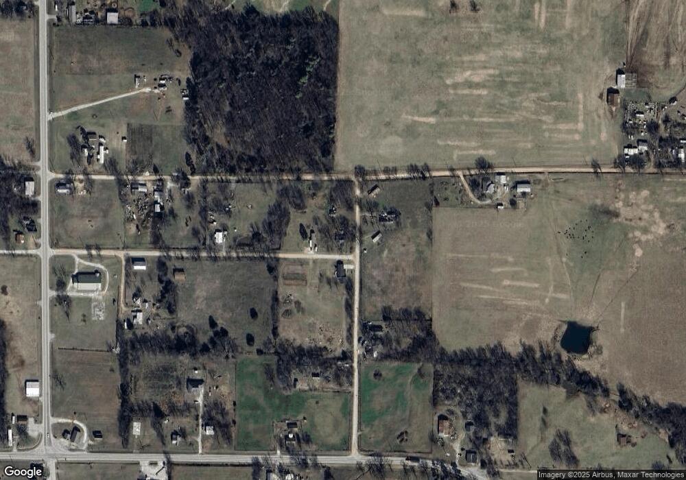
Map
Nearby Homes
- 22372 North Rd
- 0 Arkansas 59
- 10310 Arkansas 59
- 0 Young Rd
- 10277 N Highway 59
- 22034 W Highway 62
- 10768 Elms Rd
- 10537 Roundhill Rd
- 21314 Tara Nicole Ln
- 10920 N Old Cincinnati Rd
- 0 Cr -668 Beatty Rd
- 20AC - 10991 Borchardt Rd
- 11516 Pleasant Hill Rd
- 10991 Borchardt Rd
- 70920 S 4769 Rd
- 20482 Gem Rd
- 11161 S Old Cincinnati Rd
- 10238 Woodlyn Dr
- 10368 Beatty Rd
- 821 Curtis St
- 10467 Boston Rd
- 10418 Boston Rd
- 5 AC N Wc 678
- 10508 Boston Rd
- 0 Cr 684 Unit 572302
- Tract D North Rd
- Tract D, North Rd
- 10596 Boston Rd
- 0 North Rd Unit 1046806
- 22280 Anderson Rd
- Tract D N Wc 678 Rd
- 22109 North Rd
- 22307 North Rd
- 10494 Center Rd
- Tract B-1 N Wc 678 Rd
- Tract A-1 Highway 59
- 10422 Center Str St
- 22341 Anderson Rd
- 10422 Center Rd
- 22122 W Highway 62
Your Personal Tour Guide
Ask me questions while you tour the home.