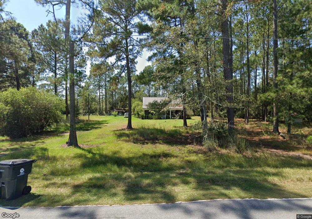
222 10 Point Dr Douglas, GA 31535
Estimated Value: $154,000 - $277,000
3
Beds
2
Baths
1,600
Sq Ft
$126/Sq Ft
Est. Value
About This Home
This home is located at 222 10 Point Dr, Douglas, GA 31535 and is currently estimated at $201,159, approximately $125 per square foot. 222 10 Point Dr is a home located in Coffee County with nearby schools including Satilla Elementary School, Coffee Middle School, and Coffee County High School.
Ownership History
Date
Name
Owned For
Owner Type
Purchase Details
Closed on
Aug 2, 2017
Sold by
Carroll Robbie N
Bought by
Taft Kimberly Edison
Current Estimated Value
Purchase Details
Closed on
Jun 9, 2008
Sold by
Kelly Regina L
Bought by
Carroll Robbie N and Carroll Sherry L
Home Financials for this Owner
Home Financials are based on the most recent Mortgage that was taken out on this home.
Original Mortgage
$107,777,000
Interest Rate
6.04%
Mortgage Type
New Conventional
Purchase Details
Closed on
Apr 1, 2005
Sold by
Johnson Juliana B
Bought by
Kelly Regina L
Create a Home Valuation Report for This Property
The Home Valuation Report is an in-depth analysis detailing your home's value as well as a comparison with similar homes in the area
Purchase History
We collect this data history from publicly available records. To have your information removed, we recommend requesting removal directly through your county’s website.
| Date | Buyer | Sale Price | Title Company |
|---|---|---|---|
| Taft Kimberly Edison | $127,000 | -- | |
| Carroll Robbie N | $113,450 | -- | |
| Kelly Regina L | $111,500 | -- |
Source: Public Records
Mortgage History
We collect this data history from publicly available records. To have your information removed, we recommend requesting removal directly through your county’s website.
| Date | Status | Borrower | Loan Amount |
|---|---|---|---|
| Previous Owner | Carroll Robbie N | $107,777,000 |
Source: Public Records
Tax History
| Year | Tax Paid | Tax Assessment Tax Assessment Total Assessment is a certain percentage of the fair market value that is determined by local assessors to be the total taxable value of land and additions on the property. | Land | Improvement |
|---|---|---|---|---|
| 2025 | $571 | $27,872 | $4,000 | $23,872 |
| 2024 | $568 | $27,872 | $4,000 | $23,872 |
| 2023 | $174 | $27,872 | $4,000 | $23,872 |
| 2022 | $628 | $27,872 | $4,000 | $23,872 |
| 2021 | $628 | $27,872 | $4,000 | $23,872 |
| 2020 | $628 | $27,872 | $4,000 | $23,872 |
| 2019 | $628 | $27,872 | $4,000 | $23,872 |
| 2018 | $624 | $27,672 | $4,000 | $23,672 |
| 2017 | $98 | $27,672 | $4,000 | $23,672 |
| 2016 | $626 | $27,672 | $4,000 | $23,672 |
| 2015 | $624 | $27,432 | $4,000 | $23,432 |
| 2014 | $627 | $27,432 | $4,000 | $23,432 |
Source: Public Records
Map
Nearby Homes
- 429 Willow Way
- 166 Tempa Ln
- 00
- 380 Brookewood Dr
- 3236 Baymeadows Dr W
- 153 Golden Ln
- 127 Joyce Dr
- 2987 Baymeadows Dr W
- 389 Pine Valley Rd
- 738 Bethel Rd
- 2828 Baymeadows Dr W
- 00 W Bay Meadows Dr
- 42 Summertree Dr
- 42 Sunbeam Rd
- 407 Pinecrest Dr
- 00 Sunbeam Rd
- 695 Jasmine Dr
- 40 Pinedale Dr
- 943 Basswood Rd
- 55 Palm Dr
- 222 Ten Point Dr Unit 152
- 222 Ten Point Dr
- 200 Ten Point Dr
- 177 10 Point Dr
- 177 Ten Point Dr
- 160 Ten Point Dr
- 12 Antler Trail
- 132 Ten Point Dr
- 44 Antler Trail
- 370 Ten Point Dr
- 110 Ten Point Dr
- 70 Antler Trail
- 370 10 Point Dr
- 101 Ten Point Dr
- 54 Doe Ln
- 395 Ten Point Dr
- 110 Antler Trail
- 70 Ten Point Dr
- 102 Buck Dr
- 70 Doe Ln
Your Personal Tour Guide
Ask me questions while you tour the home.