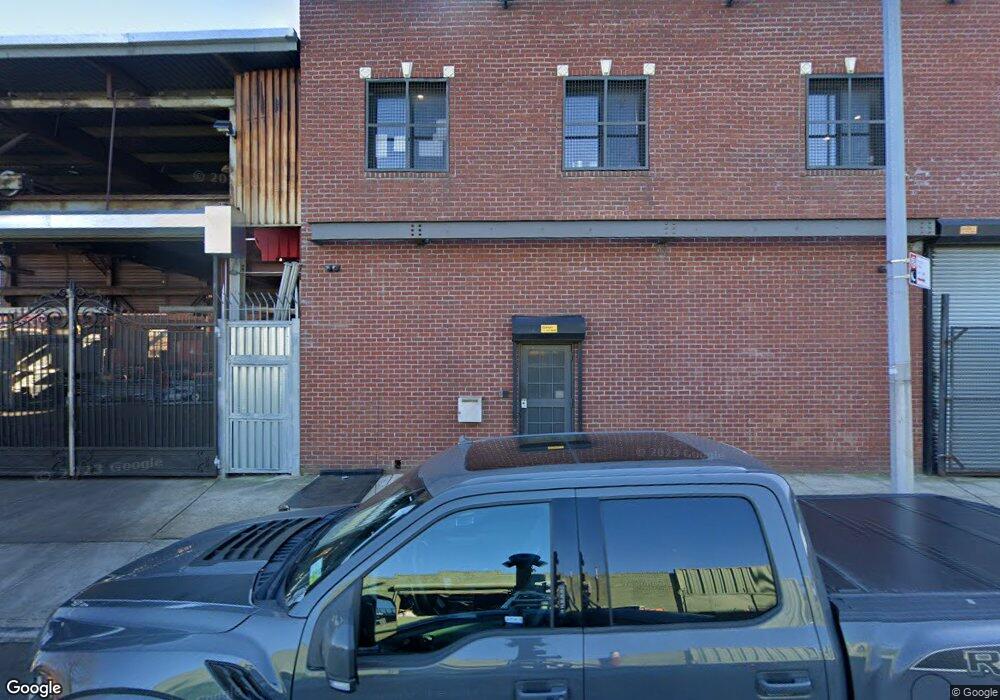
222-230 Belmont Ave Brooklyn, NY 11207
Brownsville NeighborhoodEstimated Value: $2,512,725
--
Bed
--
Bath
18,500
Sq Ft
$136/Sq Ft
Est. Value
About This Home
This home is located at 222-230 Belmont Ave, Brooklyn, NY 11207 and is currently estimated at $2,512,725, approximately $135 per square foot. 222-230 Belmont Ave is a home located in Kings County with nearby schools including P.S. 328 - Phyllis Wheatley, J.H.S 292 Margaret S. Douglas, and Hyde Leadership Charter School-Brooklyn.
Ownership History
Date
Name
Owned For
Owner Type
Purchase Details
Closed on
Jan 6, 2016
Sold by
Gamburg Realty Corp
Bought by
Belmont Re Llc
Current Estimated Value
Home Financials for this Owner
Home Financials are based on the most recent Mortgage that was taken out on this home.
Original Mortgage
$1,000,000
Outstanding Balance
$795,841
Interest Rate
3.98%
Mortgage Type
Commercial
Estimated Equity
$1,716,884
Create a Home Valuation Report for This Property
The Home Valuation Report is an in-depth analysis detailing your home's value as well as a comparison with similar homes in the area
Home Values in the Area
Average Home Value in this Area
Purchase History
| Date | Buyer | Sale Price | Title Company |
|---|---|---|---|
| Belmont Re Llc | $1,450,000 | -- |
Source: Public Records
Mortgage History
| Date | Status | Borrower | Loan Amount |
|---|---|---|---|
| Open | Belmont Re Llc | $1,000,000 |
Source: Public Records
Tax History Compared to Growth
Tax History
| Year | Tax Paid | Tax Assessment Tax Assessment Total Assessment is a certain percentage of the fair market value that is determined by local assessors to be the total taxable value of land and additions on the property. | Land | Improvement |
|---|---|---|---|---|
| 2025 | $38,961 | $480,150 | $78,750 | $401,400 |
| 2024 | $38,961 | $413,100 | $78,750 | $334,350 |
| 2023 | $37,298 | $389,700 | $78,750 | $310,950 |
| 2022 | $36,511 | $355,950 | $78,750 | $277,200 |
| 2021 | $30,847 | $288,450 | $78,750 | $209,700 |
| 2020 | $15,423 | $353,250 | $78,750 | $274,500 |
| 2019 | $29,457 | $353,250 | $78,750 | $274,500 |
| 2018 | $27,008 | $307,800 | $78,750 | $229,050 |
| 2017 | $22,578 | $281,700 | $78,750 | $202,950 |
| 2016 | $19,737 | $276,300 | $78,750 | $197,550 |
| 2015 | $10,759 | $181,800 | $78,750 | $103,050 |
| 2014 | $10,759 | $173,700 | $78,750 | $94,950 |
Source: Public Records
Map
Nearby Homes
- 297 Hinsdale St
- 440 Blake Ave
- 105 Belmont Ave
- 101 Belmont Ave
- 1782 Pitkin Ave
- 117 Osborn St
- 406 Hinsdale St
- 45 Hinsdale St
- 637 Blake Ave
- 297 Pennsylvania Ave
- 317 Pennsylvania Ave
- 22 Hinsdale St
- 34&36 Marginal St
- 353 Pennsylvania Ave
- 1719 E New York Ave
- 444 New Jersey Ave
- 548 Rockaway Ave
- 663 Sutter Ave
- 667 Sutter Ave
- 195 Chester St
- 216 Snediker Ave
- 214 Snediker Ave
- 302 van Sinderen Ave
- 471 Sutter Ave
- 229 Snediker Ave
- 231 Snediker Ave
- 233 Snediker Ave
- 235 Snediker Ave
- 219 Junius St
- 247 Snediker Ave
- 283 van Sinderen Ave
- 219 Snediker Ave
- 201 Snediker Ave
- 218 Hinsdale St
- 230 Hinsdale St
- 232 Hinsdale St
- 234 Hinsdale St
- 236 Hinsdale St
- 253-257 Belmont Ave
- 238 Hinsdale St