222 Amaranth Ct Ball Ground, GA 30107
Estimated Value: $465,421 - $486,000
3
Beds
3
Baths
2,017
Sq Ft
$236/Sq Ft
Est. Value
About This Home
This home is located at 222 Amaranth Ct, Ball Ground, GA 30107 and is currently estimated at $475,711, approximately $235 per square foot. 222 Amaranth Ct is a home located in Cherokee County with nearby schools including Macedonia Elementary School, Creekland Middle School, and Creekview High School.
Ownership History
Date
Name
Owned For
Owner Type
Purchase Details
Closed on
Feb 14, 2012
Sold by
The Weir Family Trust Date
Bought by
Weir Charles Donald
Current Estimated Value
Purchase Details
Closed on
Dec 6, 2008
Sold by
Weir Charles D
Bought by
Weir Family Trust
Purchase Details
Closed on
Mar 10, 2006
Sold by
Standridge Thomas G
Bought by
Weir Charles D
Purchase Details
Closed on
Feb 11, 2005
Sold by
Standridge Homes Llc
Bought by
Standridge Thomas G
Home Financials for this Owner
Home Financials are based on the most recent Mortgage that was taken out on this home.
Original Mortgage
$49,000
Interest Rate
5.62%
Create a Home Valuation Report for This Property
The Home Valuation Report is an in-depth analysis detailing your home's value as well as a comparison with similar homes in the area
Home Values in the Area
Average Home Value in this Area
Purchase History
| Date | Buyer | Sale Price | Title Company |
|---|---|---|---|
| Weir Charles Donald | -- | -- | |
| Weir Family Trust | -- | -- | |
| Weir Charles D | $246,900 | -- | |
| Standridge Thomas G | $49,000 | -- |
Source: Public Records
Mortgage History
| Date | Status | Borrower | Loan Amount |
|---|---|---|---|
| Previous Owner | Standridge Thomas G | $49,000 |
Source: Public Records
Tax History Compared to Growth
Tax History
| Year | Tax Paid | Tax Assessment Tax Assessment Total Assessment is a certain percentage of the fair market value that is determined by local assessors to be the total taxable value of land and additions on the property. | Land | Improvement |
|---|---|---|---|---|
| 2025 | $4,663 | $177,560 | $38,000 | $139,560 |
| 2024 | $4,344 | $167,160 | $39,600 | $127,560 |
| 2023 | $4,284 | $164,840 | $34,000 | $130,840 |
| 2022 | $3,606 | $137,200 | $28,800 | $108,400 |
| 2021 | $3,191 | $112,400 | $24,000 | $88,400 |
| 2020 | $3,071 | $108,080 | $24,000 | $84,080 |
| 2019 | $2,764 | $97,280 | $24,000 | $73,280 |
| 2018 | $2,614 | $91,440 | $20,800 | $70,640 |
| 2017 | $2,479 | $215,100 | $20,800 | $65,240 |
| 2016 | $2,305 | $197,900 | $16,000 | $63,160 |
| 2015 | $2,330 | $198,100 | $16,000 | $63,240 |
| 2014 | $2,127 | $180,500 | $16,000 | $56,200 |
Source: Public Records
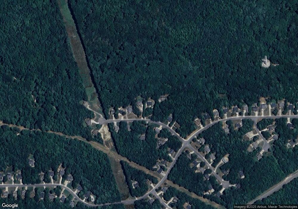
Map
Nearby Homes
- 8555 Scenic Ridge Way
- 121 Westwind Ct
- 600 Forest Pine Dr
- 9871 Cumming Hwy
- 10585 Cumming Hwy
- 310 Brooke View Trail
- 601 Brooke View Ln
- 609 Brooke View Ln
- The Jefferson Plan at Soleil at Belmont Park
- The Pearson Plan at Soleil at Belmont Park
- The Auburn Plan at Soleil at Belmont Park
- The Montrose Plan at Soleil at Belmont Park
- The Weston Plan at Soleil at Belmont Park
- The Wesley Plan at Soleil at Belmont Park
- The Denton Plan at Soleil at Belmont Park
- The Tifton Plan at Soleil at Belmont Park
- The Edison Plan at Soleil at Belmont Park
- 753 Brooke View Dr
- 749 Brooke View Dr
- 765 Brooke View Dr
- 224 Amaranth Ct
- 224 Amaranth Ct
- 220 Amaranth Ct
- 226 Amaranth Ct
- 218 Amaranth Ct
- 228 Amaranth Ct
- 217 Amaranth Ct
- 237 Amaranth Ct
- 216 Amaranth Ct
- 221 Amaranth Ct
- 219 Amaranth Ct
- 215 Amaranth Ct
- 230 Amaranth Ct
- 0 Amaranth Ct Unit 7450497
- 0 Amaranth Ct Unit 3212871
- 0 Amaranth Ct Unit 7454622
- 0 Amaranth Ct Unit 7421814
- 0 Amaranth Ct Unit 3227912
- 223 Amaranth Ct
- 637 Forest Pine Dr