222 Angland Dr La Fayette, GA 30728
Estimated Value: $174,000
--
Bed
2
Baths
924
Sq Ft
$188/Sq Ft
Est. Value
About This Home
This home is located at 222 Angland Dr, La Fayette, GA 30728 and is currently estimated at $174,000, approximately $188 per square foot. 222 Angland Dr is a home located in Walker County with nearby schools including Gilbert Elementary School, Lafayette Middle School, and Lafayette High School.
Ownership History
Date
Name
Owned For
Owner Type
Purchase Details
Closed on
Sep 10, 1998
Sold by
United Companies Lending Corp
Bought by
Greene Timothy K
Current Estimated Value
Purchase Details
Closed on
Sep 2, 1997
Sold by
Melford Anthony T and Melford Lisa
Bought by
United Companies Lending Corp
Purchase Details
Closed on
Dec 30, 1995
Sold by
Angland H N
Bought by
Melford Anthony T and Melford Lisa
Purchase Details
Closed on
Feb 15, 1995
Sold by
King Sheree Annette Angland
Bought by
Angland H N
Purchase Details
Closed on
Sep 29, 1989
Sold by
King Harry J and King Sheree
Bought by
King Sheree Annette Angland
Purchase Details
Closed on
Jan 1, 1986
Bought by
King Harry J and King Sheree
Create a Home Valuation Report for This Property
The Home Valuation Report is an in-depth analysis detailing your home's value as well as a comparison with similar homes in the area
Home Values in the Area
Average Home Value in this Area
Purchase History
| Date | Buyer | Sale Price | Title Company |
|---|---|---|---|
| Greene Timothy K | $65,000 | -- | |
| United Companies Lending Corp | $73,800 | -- | |
| Melford Anthony T | $54,800 | -- | |
| Angland H N | $55,000 | -- | |
| King Sheree Annette Angland | -- | -- | |
| King Harry J | $15,000 | -- |
Source: Public Records
Tax History Compared to Growth
Tax History
| Year | Tax Paid | Tax Assessment Tax Assessment Total Assessment is a certain percentage of the fair market value that is determined by local assessors to be the total taxable value of land and additions on the property. | Land | Improvement |
|---|---|---|---|---|
| 2024 | $91 | $39,137 | $38,792 | $345 |
| 2023 | $91 | $31,133 | $30,788 | $345 |
| 2022 | $378 | $16,272 | $15,927 | $345 |
| 2021 | $417 | $16,214 | $15,927 | $287 |
| 2020 | $435 | $16,307 | $15,927 | $380 |
| 2019 | $1,241 | $44,185 | $15,927 | $28,258 |
| 2018 | $1,169 | $44,185 | $15,927 | $28,258 |
| 2017 | $1,363 | $44,185 | $15,927 | $28,258 |
| 2016 | $1,162 | $44,185 | $15,927 | $28,258 |
| 2015 | $1,263 | $45,489 | $19,172 | $26,317 |
| 2014 | $1,162 | $45,489 | $19,172 | $26,317 |
| 2013 | -- | $45,488 | $19,172 | $26,316 |
Source: Public Records
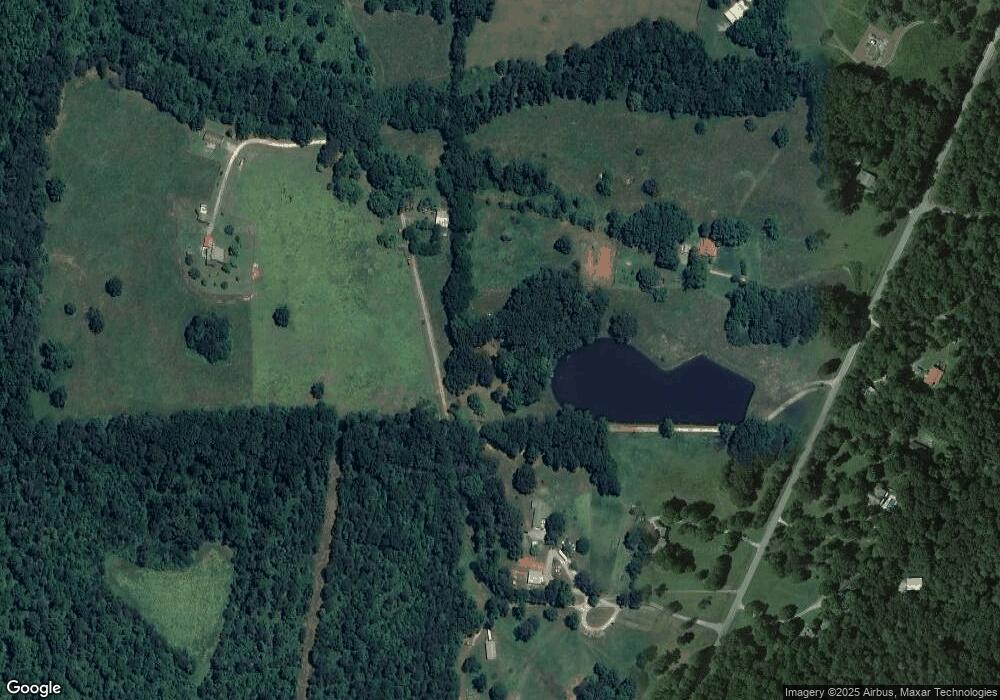
Map
Nearby Homes
- 334 S Oakland Dr
- 0 Ga Hwy 337 Unit LotWP001
- 0 Indiana St Unit 28 10583802
- 62 + - Acres On Chamberlain Rd
- 0 Chamberlain Rd Unit LotWP001
- 300 Bronco Rd
- 24605 Highway 193
- 1152 Magnolia St
- 308 Pledger Pkwy
- 39 Cook St
- 1103 Sisemore St
- 1125 S Chattanooga St
- 100 Lake Terrace Dr
- Perry Plan at Lake Terrace
- Sullivan Plan at Lake Terrace
- Lewis Plan at Lake Terrace
- Curtis Plan at Lake Terrace
- Edmon Plan at Lake Terrace
- Wyeth Plan at Lake Terrace
- 221 Chota Cir
- 114 Angland Dr
- 2048 Chamberlain Rd
- 2342 Chamberlain Rd
- 2204 Chamberlain Rd
- 138 Pleasant View Dr
- 497 Angland Dr
- 2151 Chamberlain Rd
- 2053 Chamberlain Rd
- 1982 Chamberlain Rd
- 2201 Chamberlain Rd
- 1868 Chamberlain Rd
- 2410 Chamberlain Rd
- 2403 Chamberlain Rd
- 2456 Chamberlain Rd
- 2495 Chamberlain Rd
- 2543 Chamberlain Rd
- 2553 Chamberlain Rd
- 0 Littlejohn Rd Unit 1064643
- 0 Littlejohn Rd
- 2615 Chamberlain Rd