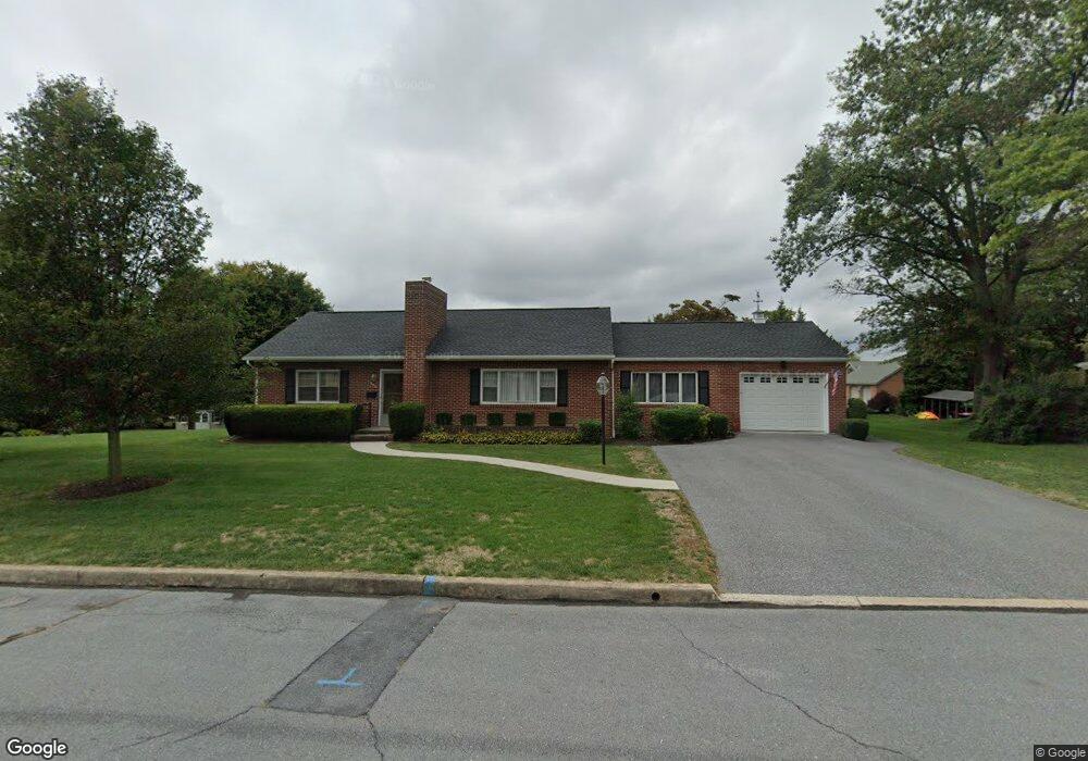
222 Apple Dr Greencastle, PA 17225
Estimated Value: $322,000 - $379,000
--
Bed
--
Bath
1,752
Sq Ft
$195/Sq Ft
Est. Value
About This Home
This home is located at 222 Apple Dr, Greencastle, PA 17225 and is currently estimated at $341,667, approximately $195 per square foot. 222 Apple Dr is a home located in Franklin County with nearby schools including Greencastle-Antrim Primary School, Greencastle-Antrim Elementary School, and Greencastle-Antrim Middle School.
Ownership History
Date
Name
Owned For
Owner Type
Purchase Details
Closed on
Mar 30, 2017
Sold by
Uccellini Frederick W
Bought by
Uccellini Frederick W and Uccellini Frederick W
Current Estimated Value
Purchase Details
Closed on
Jan 9, 2017
Sold by
Uccellini Frederick W
Bought by
Uccellini Frederick W
Create a Home Valuation Report for This Property
The Home Valuation Report is an in-depth analysis detailing your home's value as well as a comparison with similar homes in the area
Home Values in the Area
Average Home Value in this Area
Purchase History
| Date | Buyer | Sale Price | Title Company |
|---|---|---|---|
| Uccellini Frederick W | -- | None Available | |
| Uccellini Frederick W | -- | None Available |
Source: Public Records
Tax History Compared to Growth
Tax History
| Year | Tax Paid | Tax Assessment Tax Assessment Total Assessment is a certain percentage of the fair market value that is determined by local assessors to be the total taxable value of land and additions on the property. | Land | Improvement |
|---|---|---|---|---|
| 2025 | $3,871 | $22,580 | $3,000 | $19,580 |
| 2024 | $3,788 | $22,580 | $3,000 | $19,580 |
| 2023 | $3,748 | $22,580 | $3,000 | $19,580 |
| 2022 | $3,725 | $22,580 | $3,000 | $19,580 |
| 2021 | $3,660 | $22,580 | $3,000 | $19,580 |
| 2020 | $3,573 | $22,580 | $3,000 | $19,580 |
| 2019 | $3,500 | $22,580 | $3,000 | $19,580 |
| 2018 | $3,466 | $22,580 | $3,000 | $19,580 |
| 2017 | $3,364 | $22,580 | $3,000 | $19,580 |
| 2016 | $647 | $22,580 | $3,000 | $19,580 |
| 2015 | $603 | $22,580 | $3,000 | $19,580 |
| 2014 | $603 | $22,580 | $3,000 | $19,580 |
Source: Public Records
Map
Nearby Homes
- 239 Orchard Cir
- 271 E Baltimore St
- 129 E Franklin St
- 431 Leitersburg St
- 148 E Madison St
- 674 Lohman Ave
- 602 Brookview Dr
- 227 Tyrone St
- 231 N Allison St Unit 1
- 34.77 Acres Red Oak Estate S
- 101 N Carlisle St
- 45 W Dahlgren St
- 148 N Carlisle St
- 823 Buchanan Trail E
- 560 Meadowview Cir
- 480 S Carlisle St
- 341 W Baltimore St
- 12 Edward Dr
- 260 Scarlet Cir
- 375 Carolle St