222 Bonnie Brook Dr Unit 44 Charlotte, MI 48813
Estimated Value: $175,941 - $188,000
--
Bed
2
Baths
912
Sq Ft
$199/Sq Ft
Est. Value
About This Home
This home is located at 222 Bonnie Brook Dr Unit 44, Charlotte, MI 48813 and is currently estimated at $181,235, approximately $198 per square foot. 222 Bonnie Brook Dr Unit 44 is a home located in Eaton County with nearby schools including Washington Elementary School, Charlotte Middle School, and Charlotte Upper Elementary School.
Ownership History
Date
Name
Owned For
Owner Type
Purchase Details
Closed on
Aug 30, 2016
Sold by
Oles Judy A
Bought by
Oles Judy A and Oles Michael S
Current Estimated Value
Purchase Details
Closed on
May 20, 2015
Sold by
Dymond Chere Lynn
Bought by
Oles Judy A
Purchase Details
Closed on
Feb 7, 2008
Sold by
Dymond Chere
Bought by
Dymond Chere Lynn
Purchase Details
Closed on
Jul 16, 2007
Sold by
Rickle Family Trust
Bought by
Dymond Chere
Create a Home Valuation Report for This Property
The Home Valuation Report is an in-depth analysis detailing your home's value as well as a comparison with similar homes in the area
Home Values in the Area
Average Home Value in this Area
Purchase History
| Date | Buyer | Sale Price | Title Company |
|---|---|---|---|
| Oles Judy A | -- | Attorney | |
| Oles Judy A | $82,000 | Midstate Title Agency Llc | |
| Dymond Chere Lynn | -- | None Available | |
| Dymond Chere | $120,000 | The Talon Group |
Source: Public Records
Tax History Compared to Growth
Tax History
| Year | Tax Paid | Tax Assessment Tax Assessment Total Assessment is a certain percentage of the fair market value that is determined by local assessors to be the total taxable value of land and additions on the property. | Land | Improvement |
|---|---|---|---|---|
| 2025 | $2,711 | $87,500 | $0 | $0 |
| 2024 | $1,912 | $90,000 | $0 | $0 |
| 2023 | $1,801 | $86,900 | $0 | $0 |
| 2022 | $2,427 | $81,600 | $0 | $0 |
| 2021 | $2,326 | $68,300 | $0 | $0 |
| 2020 | $2,117 | $57,400 | $0 | $0 |
| 2019 | $2,083 | $49,084 | $0 | $0 |
| 2018 | $2,029 | $47,131 | $0 | $0 |
| 2017 | $2,023 | $46,319 | $0 | $0 |
| 2016 | -- | $44,423 | $0 | $0 |
| 2015 | -- | $44,363 | $0 | $0 |
| 2014 | -- | $37,402 | $0 | $0 |
| 2013 | -- | $41,338 | $0 | $0 |
Source: Public Records
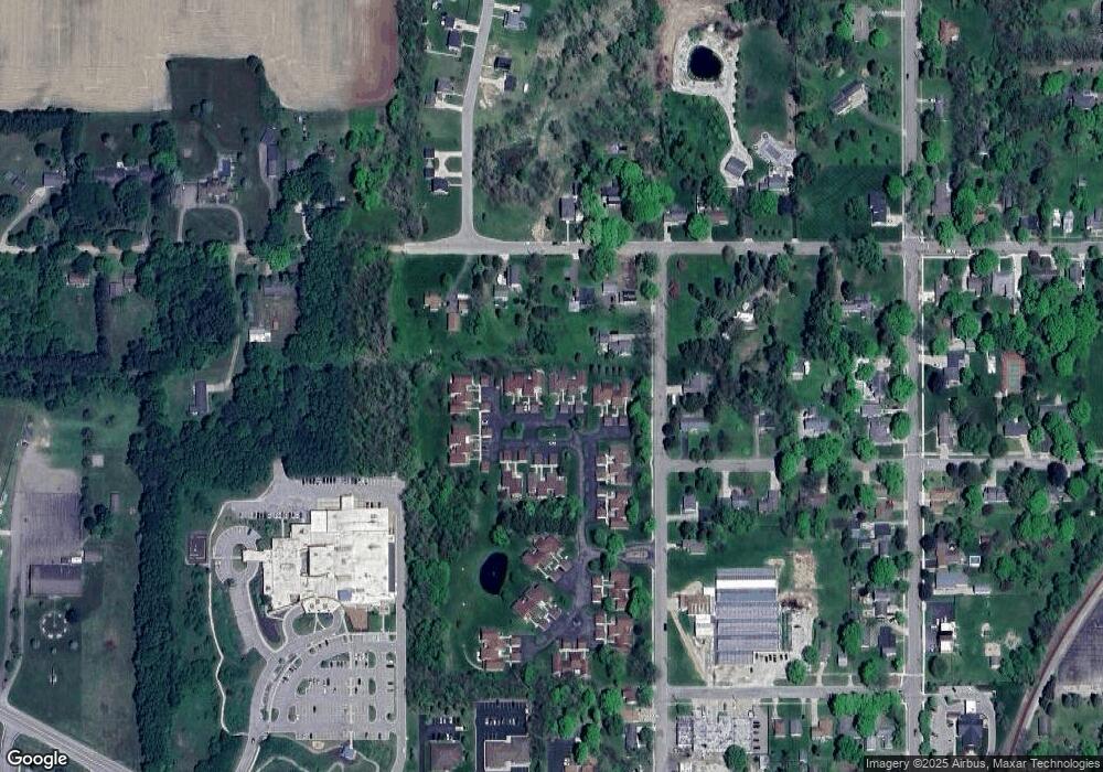
Map
Nearby Homes
- 721 Foote St
- 113 S Clinton St
- 206 W Harris St
- 519 Amity St
- 317 Pearl St
- 308 S Sheldon St
- 722 Cherry St
- 0 Pinebluff Dr Parcel O Unit 258041
- 318 N Cochran Ave
- 717 High St
- 315 W Henry St
- 428 N Washington St
- 1272 W Lawrence Hwy
- 706 W Shepherd St
- 738 W Shepherd St
- 827 Walnut St
- 525 N Wheaton Rd
- 335 Pleasant St
- 431 E Seminary St
- 601 S Cochran Ave
- 220 Bonnie Brook Dr Unit 43
- 220 N Bonnie Brook Dr Unit 43
- 224 Bonnie Brook Dr Unit 45
- 226 Bonnie Brook Dr Unit 46
- 226 S Bonnie Brook Dr
- 226 S Bonnie Brook Dr Unit 46
- 228 Bonnie Brook Dr Unit 47
- 230 Bonnie Brook Dr Unit 48
- 269 Bonnie Brook Dr
- 265 Bonnie Brook Dr Unit 42
- 265 S Bonnie Brook Dr
- 232 Bonnie Brook Dr Unit 49
- 232 Bonnie Brook Dr
- 271 Bonnie Brook Dr Unit 39
- 267 Bonnie Brook Dr Unit 41
- 273 Bonnie Brook Dr
- 234 Bonnie Brook Dr Unit 50
- 279 Bonnie Creek
- 275 Bonnie Brook Dr Unit 37
- 252 Bonnie Brook Dr