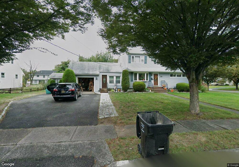
222 Brook St Paramus, NJ 07652
Estimated Value: $882,897 - $1,113,000
Studio
--
Bath
1,824
Sq Ft
$564/Sq Ft
Est. Value
About This Home
This home is located at 222 Brook St, Paramus, NJ 07652 and is currently estimated at $1,028,224, approximately $563 per square foot. 222 Brook St is a home located in Bergen County with nearby schools including Paramus High School, Alpine Learning Group, and Paramus Catholic High School.
Ownership History
Date
Name
Owned For
Owner Type
Purchase Details
Closed on
Apr 12, 2001
Sold by
Wurst Harry C
Bought by
Derosa Arthur De
Current Estimated Value
Home Financials for this Owner
Home Financials are based on the most recent Mortgage that was taken out on this home.
Original Mortgage
$148,000
Outstanding Balance
$53,990
Interest Rate
6.88%
Estimated Equity
$974,234
Create a Home Valuation Report for This Property
The Home Valuation Report is an in-depth analysis detailing your home's value as well as a comparison with similar homes in the area
Home Values in the Area
Average Home Value in this Area
Purchase History
| Date | Buyer | Sale Price | Title Company |
|---|---|---|---|
| Derosa Arthur De | $185,000 | -- |
Source: Public Records
Mortgage History
| Date | Status | Borrower | Loan Amount |
|---|---|---|---|
| Open | Derosa Arthur De | $148,000 |
Source: Public Records
Tax History
| Year | Tax Paid | Tax Assessment Tax Assessment Total Assessment is a certain percentage of the fair market value that is determined by local assessors to be the total taxable value of land and additions on the property. | Land | Improvement |
|---|---|---|---|---|
| 2025 | $9,497 | $676,800 | $397,000 | $279,800 |
| 2024 | $9,193 | $627,300 | $362,300 | $265,000 |
| 2023 | $8,688 | $599,300 | $345,000 | $254,300 |
| 2022 | $8,688 | $559,800 | $321,500 | $238,300 |
| 2021 | $8,454 | $511,100 | $291,800 | $219,300 |
| 2020 | $8,146 | $510,700 | $286,800 | $223,900 |
| 2019 | $8,228 | $443,300 | $264,000 | $179,300 |
| 2018 | $8,126 | $443,300 | $264,000 | $179,300 |
| 2017 | $7,984 | $443,300 | $264,000 | $179,300 |
| 2016 | $7,767 | $443,300 | $264,000 | $179,300 |
| 2015 | $7,687 | $443,300 | $264,000 | $179,300 |
| 2014 | $7,620 | $443,300 | $264,000 | $179,300 |
Source: Public Records
Map
Nearby Homes
- 556 Green Valley Rd
- 216 Brook St
- 221 Brook St
- 264 Hoppers Ln
- 561 Green Valley Rd
- 557 Green Valley Rd
- 214 Brook St
- 260 Hoppers Ln
- 215 Brook St
- 563 Green Valley Rd
- 568 Green Valley Rd
- 553 Green Valley Rd
- 567 Green Valley Rd
- 256 Hoppers Ln
- 210 Brook St
- 549 Green Valley Rd
- 108 Willowbrook Ct
- 571 Green Valley Rd
- 572 Green Valley Rd
- 531 Tuers Ln
Your Personal Tour Guide
Ask me questions while you tour the home.