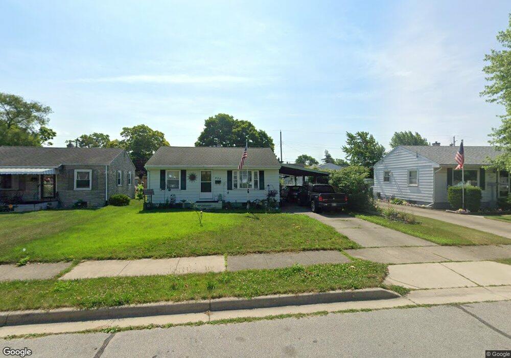
222 Burbank Ave South Bend, IN 46619
LaSalle Park NeighborhoodEstimated Value: $94,000 - $127,000
2
Beds
1
Bath
800
Sq Ft
$137/Sq Ft
Est. Value
About This Home
This home is located at 222 Burbank Ave, South Bend, IN 46619 and is currently estimated at $109,891, approximately $137 per square foot. 222 Burbank Ave is a home located in St. Joseph County with nearby schools including Harrison Elementary School, Clay Intermediate Center, and Navarre Middle School.
Ownership History
Date
Name
Owned For
Owner Type
Purchase Details
Closed on
May 31, 2023
Sold by
Jack M Milliken M and Jack Mary A
Bought by
Wyatt Michele and Stanage Douglas
Current Estimated Value
Home Financials for this Owner
Home Financials are based on the most recent Mortgage that was taken out on this home.
Original Mortgage
$69,600
Outstanding Balance
$62,577
Interest Rate
5.76%
Mortgage Type
New Conventional
Estimated Equity
$47,314
Purchase Details
Closed on
Jul 15, 2009
Sold by
Milliken Jack M and Milliken Mary A
Bought by
Milliken Jack M and Milliken Mary A
Create a Home Valuation Report for This Property
The Home Valuation Report is an in-depth analysis detailing your home's value as well as a comparison with similar homes in the area
Home Values in the Area
Average Home Value in this Area
Purchase History
| Date | Buyer | Sale Price | Title Company |
|---|---|---|---|
| Wyatt Michele | $87,000 | Fidelity National Title Compan | |
| Milliken Jack M | -- | None Available |
Source: Public Records
Mortgage History
| Date | Status | Borrower | Loan Amount |
|---|---|---|---|
| Open | Wyatt Michele | $69,600 |
Source: Public Records
Tax History Compared to Growth
Tax History
| Year | Tax Paid | Tax Assessment Tax Assessment Total Assessment is a certain percentage of the fair market value that is determined by local assessors to be the total taxable value of land and additions on the property. | Land | Improvement |
|---|---|---|---|---|
| 2024 | $565 | $121,000 | $1,300 | $119,700 |
| 2023 | $498 | $83,300 | $1,300 | $82,000 |
| 2022 | $498 | $74,000 | $1,300 | $72,700 |
| 2021 | $443 | $55,400 | $1,600 | $53,800 |
| 2020 | $323 | $47,900 | $1,400 | $46,500 |
| 2019 | $366 | $47,000 | $1,400 | $45,600 |
| 2018 | $249 | $37,900 | $1,100 | $36,800 |
| 2017 | $251 | $37,800 | $1,100 | $36,700 |
| 2016 | $254 | $37,800 | $1,100 | $36,700 |
| 2014 | $203 | $40,000 | $1,200 | $38,800 |
Source: Public Records
Map
Nearby Homes
- 421 N Grandview Ave
- 210 N Illinois St
- 3523 W Western Ave
- 22814 Ardmore Trail
- 5113 Packard Ave
- 5217 W Colfax Ave
- 429 S Albert Ave
- 5215 Hazelwood Ct
- 4527 Ford St
- 5202 Greenleaf Ln
- 3913 Ardmore Trail
- 0 Linden Ave
- 3527 W Western Ave
- 23560 Fillmore Rd
- 439 S Kenmore St
- 2323 Linden Ave
- 741 S Edison Ave
- 3917 Dunham St
- 56339 Strasser Ln
- 55175 Moss Rd
- 216 Burbank Ave
- 226 Burbank Ave
- 212 Burbank Ave
- 232 Burbank Ave
- 211 Walton Ave
- 207 Walton Ave
- 215 Walton Ave
- 208 Burbank Ave
- 201 Walton Ave
- 221 Walton Ave
- 223 Burbank Ave
- 236 Burbank Ave
- 217 Burbank Ave
- 227 Burbank Ave
- 185 Walton Ave
- 225 Walton Ave
- 213 Burbank Ave
- 233 Burbank Ave
- 202 Burbank Ave
- 240 Burbank Ave