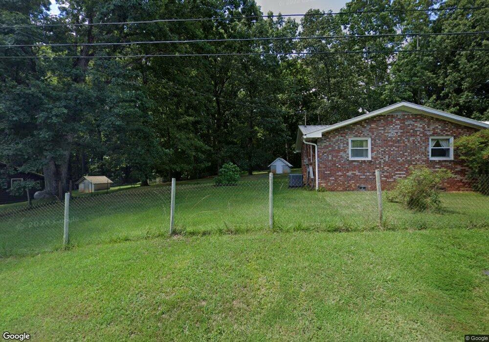
222 Burgess Rd W Jasper, GA 30143
Estimated Value: $328,050 - $409,000
--
Bed
2
Baths
1,756
Sq Ft
$211/Sq Ft
Est. Value
About This Home
This home is located at 222 Burgess Rd W, Jasper, GA 30143 and is currently estimated at $371,263, approximately $211 per square foot. 222 Burgess Rd W is a home located in Pickens County with nearby schools including Harmony Elementary School, Pickens County Middle School, and Pickens County High School.
Ownership History
Date
Name
Owned For
Owner Type
Purchase Details
Closed on
Feb 9, 2018
Sold by
Hefner James C
Bought by
Mayfield Jason
Current Estimated Value
Home Financials for this Owner
Home Financials are based on the most recent Mortgage that was taken out on this home.
Original Mortgage
$22,000
Interest Rate
3.99%
Mortgage Type
New Conventional
Purchase Details
Closed on
May 10, 2011
Sold by
Hefner James C
Bought by
Mayfield Judy Kay
Purchase Details
Closed on
Nov 26, 1985
Sold by
Hefner James Claude
Bought by
Hefner James C
Purchase Details
Closed on
Jan 1, 1971
Bought by
Hefner James C
Create a Home Valuation Report for This Property
The Home Valuation Report is an in-depth analysis detailing your home's value as well as a comparison with similar homes in the area
Home Values in the Area
Average Home Value in this Area
Purchase History
| Date | Buyer | Sale Price | Title Company |
|---|---|---|---|
| Mayfield Jason | $22,000 | -- | |
| Mayfield Judy Kay | $4,000 | -- | |
| Hefner James C | -- | -- | |
| Hefner James C | $12,200 | -- |
Source: Public Records
Mortgage History
| Date | Status | Borrower | Loan Amount |
|---|---|---|---|
| Closed | Mayfield Jason | $22,000 |
Source: Public Records
Tax History Compared to Growth
Tax History
| Year | Tax Paid | Tax Assessment Tax Assessment Total Assessment is a certain percentage of the fair market value that is determined by local assessors to be the total taxable value of land and additions on the property. | Land | Improvement |
|---|---|---|---|---|
| 2024 | $1,550 | $83,300 | $31,063 | $52,237 |
| 2023 | $1,241 | $66,041 | $31,063 | $34,978 |
| 2022 | $1,241 | $66,041 | $31,063 | $34,978 |
| 2021 | $1,330 | $66,041 | $31,063 | $34,978 |
| 2020 | $1,370 | $66,041 | $31,063 | $34,978 |
| 2019 | $1,401 | $66,041 | $31,063 | $34,978 |
| 2018 | $1,660 | $76,631 | $41,653 | $34,978 |
| 2017 | $1,687 | $76,631 | $41,653 | $34,978 |
| 2016 | $1,640 | $73,546 | $38,568 | $34,978 |
| 2015 | $1,437 | $66,600 | $38,568 | $28,032 |
| 2014 | $1,438 | $66,600 | $38,568 | $28,032 |
| 2013 | -- | $66,600 | $38,567 | $28,032 |
Source: Public Records
Map
Nearby Homes
- 0 Liberty Ln Unit 10515868
- 117 Cornett Ln S
- 3691 Hwy 515
- 75 Emerald Creek Dr
- 304 Cornett Ln S
- 405 Thrasher Ln
- 85 Hampton Farms Trail
- 235 Mountain Blvd
- 125 Grand Cir
- 269 Grand Cir
- 155 Grand Cir
- The Maddux II Plan at Summit at Gateway
- The Ellison II Plan at Summit at Gateway
- The Norwood II Plan at Summit at Gateway
- 71 Emerald Ln
- 41 Clark Station Rd
- 244 Town Creek Trail
- 298 Moorings Run
- 99 Ambrose Dr
- 96 Moorings Run
- 250 Burgess Rd W
- 26 Burgess Road West Extension
- 315 Burgess Rd W
- 335 Burgess Rd W
- 429 Roland Ln
- 84 Burgess Rd W
- 295 Black Walnut Dr
- 59 Roland Rd
- 3292 Refuge Rd
- 3372 Refuge Rd
- 334 Burgess Rd W
- 3246 Refuge Rd
- 381 Burgess Rd W
- 381 Burgess Rd W
- 3274 Refuge Rd
- 0 Roland Rd Unit 7436905
- 0 Roland Rd Unit 3282060
- 0 Roland Rd Unit 7168993
- 0 Roland Rd Unit 7542816
- 0 Roland Rd Unit 7471200