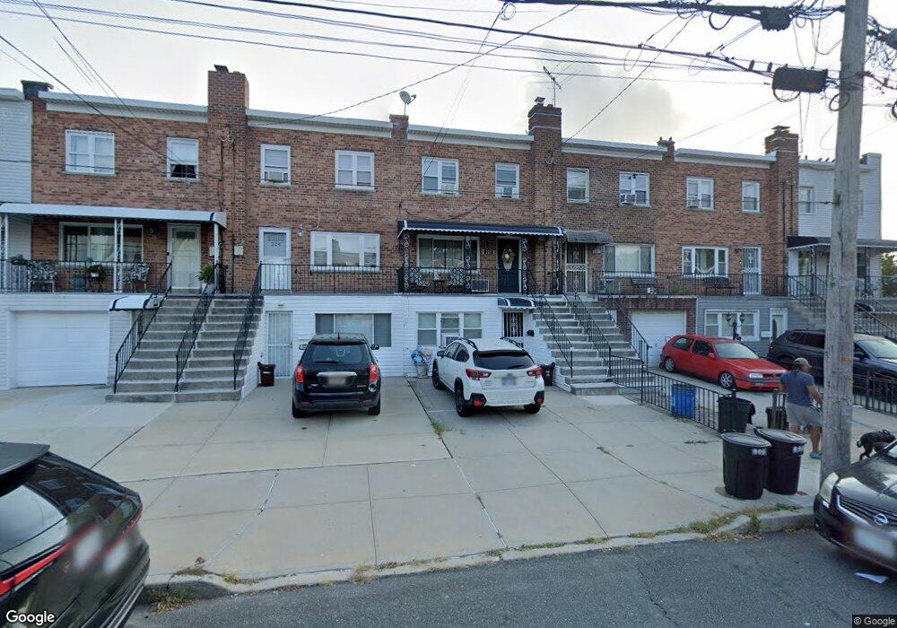
222 Calhoun Ave Bronx, NY 10465
Throgs Neck-Edgewater Park NeighborhoodEstimated Value: $645,700 - $752,000
Studio
--
Bath
1,764
Sq Ft
$399/Sq Ft
Est. Value
About This Home
This home is located at 222 Calhoun Ave, Bronx, NY 10465 and is currently estimated at $703,425, approximately $398 per square foot. 222 Calhoun Ave is a home located in Bronx County with nearby schools including P.S. 72 - Dr. William Dorney, Herbert H Lehman High School, and St. Frances de Chantal School.
Ownership History
Date
Name
Owned For
Owner Type
Purchase Details
Closed on
Apr 8, 2010
Sold by
Wu Man Kuen and Wu Sun Ye
Bought by
Martinez Jacqueline
Current Estimated Value
Home Financials for this Owner
Home Financials are based on the most recent Mortgage that was taken out on this home.
Original Mortgage
$391,773
Outstanding Balance
$260,934
Interest Rate
5%
Mortgage Type
Purchase Money Mortgage
Estimated Equity
$442,491
Create a Home Valuation Report for This Property
The Home Valuation Report is an in-depth analysis detailing your home's value as well as a comparison with similar homes in the area
Home Values in the Area
Average Home Value in this Area
Purchase History
| Date | Buyer | Sale Price | Title Company |
|---|---|---|---|
| Martinez Jacqueline | $399,000 | -- |
Source: Public Records
Mortgage History
| Date | Status | Borrower | Loan Amount |
|---|---|---|---|
| Open | Martinez Jacqueline | $391,773 |
Source: Public Records
Tax History
| Year | Tax Paid | Tax Assessment Tax Assessment Total Assessment is a certain percentage of the fair market value that is determined by local assessors to be the total taxable value of land and additions on the property. | Land | Improvement |
|---|---|---|---|---|
| 2025 | $6,316 | $33,178 | $8,021 | $25,157 |
| 2024 | $6,316 | $31,444 | $7,674 | $23,770 |
| 2023 | $6,024 | $29,664 | $7,050 | $22,614 |
| 2022 | $5,764 | $36,120 | $9,240 | $26,880 |
| 2021 | $5,819 | $32,160 | $9,240 | $22,920 |
| 2020 | $5,852 | $30,720 | $9,240 | $21,480 |
| 2019 | $5,481 | $30,360 | $9,240 | $21,120 |
| 2018 | $5,039 | $24,720 | $9,240 | $15,480 |
| 2017 | $4,905 | $24,060 | $9,240 | $14,820 |
| 2016 | $4,606 | $23,040 | $9,240 | $13,800 |
| 2015 | $3,133 | $23,460 | $10,260 | $13,200 |
| 2014 | $3,133 | $23,460 | $10,260 | $13,200 |
Source: Public Records
Map
Nearby Homes
- 227 Calhoun Ave
- 249 Calhoun Ave
- 249 Quincy Ave
- 220 Calhoun Ave
- 238 Swinton Ave
- 2832 Harding Ave
- 260 Swinton Ave
- 2819 Collis Place
- 244 Revere Ave
- 2816 Collis Place
- 252 Brinsmade Ave
- 4216 E Tremont Ave
- 239 Brinsmade Ave
- 2829 Schurz Ave
- 276 Brinsmade Ave
- 4190 E Tremont Ave
- 149 Revere Ave
- 250 Huntington Ave
- 156 Revere Ave
- 192 Huntington Ave
- 224 Calhoun Ave
- 218 Calhoun Ave
- 226 Calhoun Ave
- 228 Calhoun Ave
- 216 Calhoun Ave
- 230 Calhoun Ave
- 223 Revere Ave
- 221 Revere Ave
- 221 Revere Ave Unit 2
- 225 Revere Ave
- 232 Calhoun Ave
- 227 Revere Ave
- 219 Revere Ave
- 229 Revere Ave
- 217 Revere Ave
- 234 Calhoun Ave
- 231 Revere Ave
- 215 Revere Ave
- 233 Revere Ave
- 236 Calhoun Ave
Your Personal Tour Guide
Ask me questions while you tour the home.