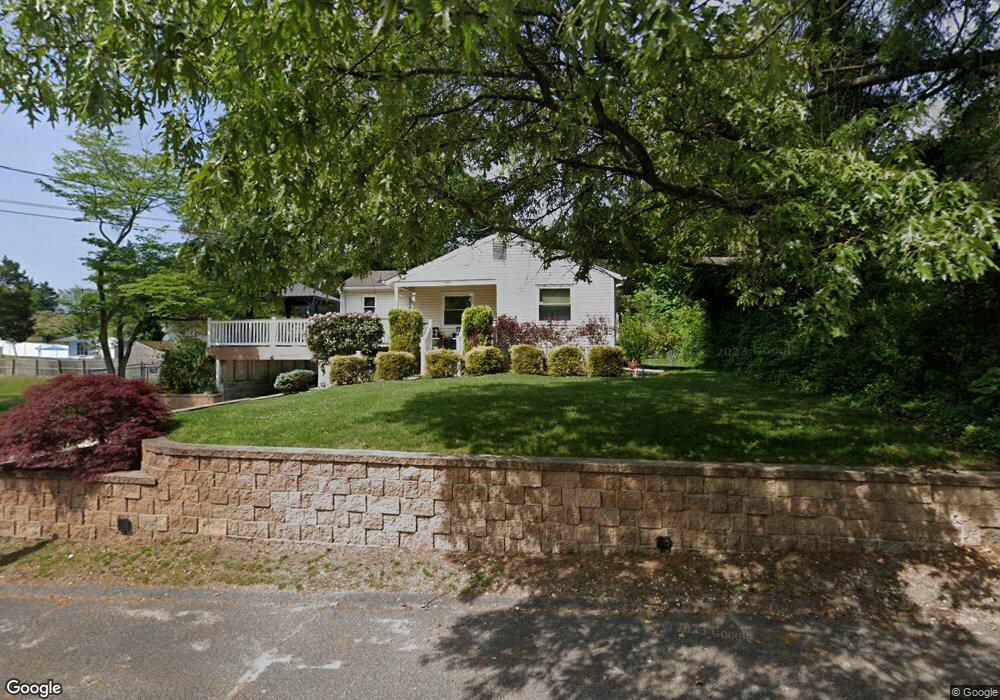
222 Chestnut St Blackwood, NJ 08012
Washington Township NeighborhoodEstimated Value: $283,000 - $311,000
--
Bed
--
Bath
1,017
Sq Ft
$294/Sq Ft
Est. Value
About This Home
This home is located at 222 Chestnut St, Blackwood, NJ 08012 and is currently estimated at $299,181, approximately $294 per square foot. 222 Chestnut St is a home located in Gloucester County with nearby schools including Washington Township High School, Whitman Elementary School, and Bunker Hill Middle School.
Ownership History
Date
Name
Owned For
Owner Type
Purchase Details
Closed on
Jul 15, 2024
Sold by
Reed John and Reed Beth M
Bought by
Dilugi Anthony John and Reed Megan
Current Estimated Value
Home Financials for this Owner
Home Financials are based on the most recent Mortgage that was taken out on this home.
Original Mortgage
$261,900
Outstanding Balance
$258,772
Interest Rate
6.99%
Mortgage Type
New Conventional
Estimated Equity
$40,409
Purchase Details
Closed on
Jul 21, 1995
Sold by
Engleman James D and Engleman Margaret M
Bought by
Reed John and Reed Beth M
Create a Home Valuation Report for This Property
The Home Valuation Report is an in-depth analysis detailing your home's value as well as a comparison with similar homes in the area
Home Values in the Area
Average Home Value in this Area
Purchase History
| Date | Buyer | Sale Price | Title Company |
|---|---|---|---|
| Dilugi Anthony John | $270,000 | Surety Title | |
| Dilugi Anthony John | $270,000 | Surety Title | |
| Reed John | $94,000 | Presidential Title Agency In |
Source: Public Records
Mortgage History
| Date | Status | Borrower | Loan Amount |
|---|---|---|---|
| Open | Dilugi Anthony John | $261,900 | |
| Closed | Dilugi Anthony John | $261,900 |
Source: Public Records
Tax History Compared to Growth
Tax History
| Year | Tax Paid | Tax Assessment Tax Assessment Total Assessment is a certain percentage of the fair market value that is determined by local assessors to be the total taxable value of land and additions on the property. | Land | Improvement |
|---|---|---|---|---|
| 2025 | $6,033 | $163,100 | $43,300 | $119,800 |
| 2024 | $5,863 | $163,100 | $43,300 | $119,800 |
| 2023 | $5,863 | $163,100 | $43,300 | $119,800 |
| 2022 | $5,671 | $163,100 | $43,300 | $119,800 |
| 2021 | $4,178 | $163,100 | $43,300 | $119,800 |
| 2020 | $5,514 | $163,100 | $43,300 | $119,800 |
| 2019 | $4,935 | $135,400 | $29,200 | $106,200 |
| 2018 | $4,880 | $135,400 | $29,200 | $106,200 |
| 2017 | $4,819 | $135,400 | $29,200 | $106,200 |
| 2016 | $4,790 | $135,400 | $29,200 | $106,200 |
| 2015 | $4,723 | $135,400 | $29,200 | $106,200 |
| 2014 | $4,574 | $135,400 | $29,200 | $106,200 |
Source: Public Records
Map
Nearby Homes
- 122 Mckinley St
- 824 Canal St
- 804 Saratoga Terrace
- 825 Lexington Ave
- 29 Catawba Ave
- 25 Sunset Rd
- 300 Westminster Blvd
- 22 Woodbrook Rd
- 731 Shawnee Rd
- 29 Melony Ln
- 2188 Sicklerville Rd
- 1807 Waldon Ct
- 1801 Beacon Hill Dr
- 1004 Berwyck Ct
- 130 Greentree Rd
- 1505 Beacon Hill Dr
- 1015 Merrymount Ave S
- 901 Burberry Ct
- 241 Bells Lake Rd
- 1721 Sicklerville Rd
- 220 Chestnut St
- 141 Garfield Ave
- 219 Spruce St
- 223 Chestnut St
- 137 Garfield Ave
- 147 Garfield Ave
- 218 Locust St
- 222 Spruce St
- 149 Garfield Ave
- 218 Spruce St
- 300 Chestnut St
- 213 Chestnut St
- 136 Garfield Ave
- 129 Garfield Ave
- 211 Spruce St
- 214 Locust St
- 301 Chestnut St
- 210 Chestnut St
- 214 Spruce St
- 300 Locust St