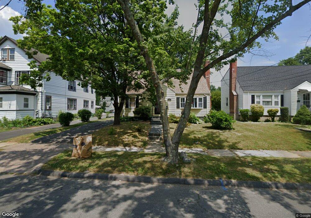
222 Colebrook St Hartford, CT 06112
Blue Hills NeighborhoodEstimated Value: $272,966 - $303,000
3
Beds
2
Baths
1,476
Sq Ft
$193/Sq Ft
Est. Value
About This Home
This home is located at 222 Colebrook St, Hartford, CT 06112 and is currently estimated at $285,242, approximately $193 per square foot. 222 Colebrook St is a home located in Hartford County with nearby schools including Rawson School, Breakthrough Magnet School - North Campus, and West Middle School.
Ownership History
Date
Name
Owned For
Owner Type
Purchase Details
Closed on
Dec 22, 2009
Sold by
Woodward Lula
Bought by
Virgo Semonea
Current Estimated Value
Home Financials for this Owner
Home Financials are based on the most recent Mortgage that was taken out on this home.
Original Mortgage
$128,510
Outstanding Balance
$84,251
Interest Rate
5%
Mortgage Type
Purchase Money Mortgage
Estimated Equity
$200,991
Create a Home Valuation Report for This Property
The Home Valuation Report is an in-depth analysis detailing your home's value as well as a comparison with similar homes in the area
Home Values in the Area
Average Home Value in this Area
Purchase History
| Date | Buyer | Sale Price | Title Company |
|---|---|---|---|
| Virgo Semonea | $135,900 | -- |
Source: Public Records
Mortgage History
| Date | Status | Borrower | Loan Amount |
|---|---|---|---|
| Closed | Virgo Semonea | $25,000 | |
| Open | Virgo Semonea | $128,510 | |
| Closed | Virgo Semonea | $12,513 |
Source: Public Records
Tax History Compared to Growth
Tax History
| Year | Tax Paid | Tax Assessment Tax Assessment Total Assessment is a certain percentage of the fair market value that is determined by local assessors to be the total taxable value of land and additions on the property. | Land | Improvement |
|---|---|---|---|---|
| 2024 | $4,409 | $63,945 | $5,219 | $58,726 |
| 2023 | $4,409 | $63,945 | $5,219 | $58,726 |
| 2022 | $4,409 | $63,946 | $5,219 | $58,727 |
| 2021 | $3,229 | $43,470 | $6,195 | $37,275 |
| 2020 | $3,229 | $43,470 | $6,195 | $37,275 |
| 2019 | $3,229 | $43,470 | $6,195 | $37,275 |
| 2018 | $3,120 | $42,004 | $5,986 | $36,018 |
| 2016 | $3,046 | $41,003 | $5,701 | $35,302 |
| 2015 | $3,046 | $39,056 | $5,431 | $33,625 |
| 2014 | $2,831 | $38,101 | $5,298 | $32,803 |
Source: Public Records
Map
Nearby Homes
- 157 Pembroke St Unit 159
- 144 Thomaston St
- 179 Manchester St
- 211 Holcomb St Unit 213
- 25 Cornwall St
- 355 Cornwall St Unit 357
- 90 Manchester St
- 111 Westbourne Pkwy Unit 113
- 86 Hartland St
- 181 Westbourne Pkwy
- 109 Blue Hills Ave
- 165 Bloomfield Ave
- 103 Baltimore St
- 150 Adams St Unit 152
- 111 Bloomfield Ave
- 11 Pershing St Unit 13
- 152 Burnham St
- 171 N Canaan St
- 243 Terry Rd
- 70 Burnham St Unit 72
- 216 Colebrook St
- 226 Colebrook St Unit 228
- 230 Colebrook St
- 131 Lyme St
- 341 Holcomb St
- 345 Holcomb St
- 234 Colebrook St
- 337 Holcomb St
- 141 Lyme St
- 349 Holcomb St
- 219 Colebrook St
- 215 Colebrook St
- 225 Colebrook St
- 130 Lyme St
- 238 Colebrook St
- 211 Colebrook St
- 357 Holcomb St
- 231 Colebrook St
- 140 Lyme St
- 200 Colebrook St